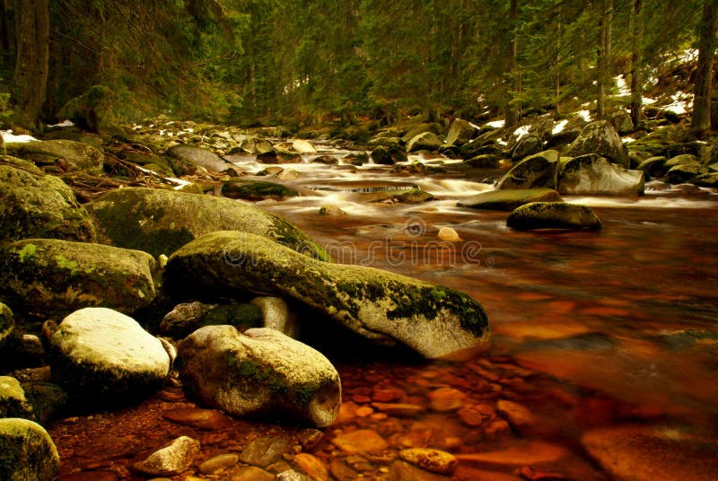
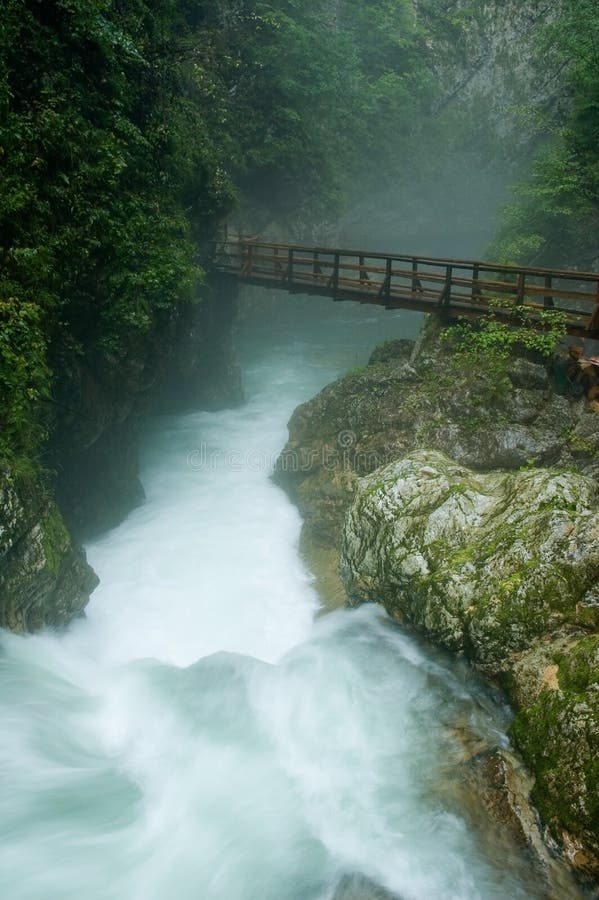
It springs below the peak of Vlasul on the mountain Volujak at an altitude of 1520 meters. In the upper flow it flows to the northwest, in the middle to the northeast, and in the lower to the east. It affects the Drina near Kosman village at an altitude of 437 meters. Its average drop is 30.1 promi. Sutjeska flows through a narrow and deep valley whose sides are mostly forested. Between the mountains Tovarnica and Volujka passes into the gorge with the sides, which are almost vertical up to 1000 meters above the river. There are several extensions with the smaller settlements of Suha, Tjentiste, Popov Most and Ãâ urevo. Due to the large drop of 1037 meters, it is very fast and has about 20,000 kWh of hydropower. [1] The right tributaries are Sushki potok and PeruÃâ¡ica with a waterfall of 71 meters high, and the left TrnoviÃ
¡nica, KlobuÃÂarica, JabuÃ
¡nica, UsoviÃÂki potok and HrÃÂavka.
圖片編號:
151893661
拍攝者:
Goranacgorilo
點數下載
| 授權類型 | 尺寸 | 像素 | 格式 | 點數 | |
|---|---|---|---|---|---|
| 標準授權 | XS | 480 x 320 | JPG | 13 | |
| 標準授權 | S | 800 x 534 | JPG | 15 | |
| 標準授權 | M | 2120 x 1414 | JPG | 18 | |
| 標準授權 | L | 2737 x 1826 | JPG | 20 | |
| 標準授權 | XL | 3462 x 2310 | JPG | 22 | |
| 標準授權 | MAX | 7360 x 4912 | JPG | 23 | |
| 標準授權 | TIFF | 10409 x 6947 | TIF | 39 | |
| 進階授權 | WEL | 7360 x 4912 | JPG | 88 | |
| 進階授權 | PEL | 7360 x 4912 | JPG | 88 | |
| 進階授權 | UEL | 7360 x 4912 | JPG | 88 |
XS
S
M
L
XL
MAX
TIFF
WEL
PEL
UEL
| 標準授權 | 480 x 320 px | JPG | 13 點 |
| 標準授權 | 800 x 534 px | JPG | 15 點 |
| 標準授權 | 2120 x 1414 px | JPG | 18 點 |
| 標準授權 | 2737 x 1826 px | JPG | 20 點 |
| 標準授權 | 3462 x 2310 px | JPG | 22 點 |
| 標準授權 | 7360 x 4912 px | JPG | 23 點 |
| 標準授權 | 10409 x 6947 px | TIF | 39 點 |
| 進階授權 | 7360 x 4912 px | JPG | 88 點 |
| 進階授權 | 7360 x 4912 px | JPG | 88 點 |
| 進階授權 | 7360 x 4912 px | JPG | 88 點 |


 +886-2-8978-1616
 +886-2-2078-5115


