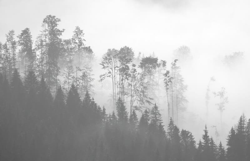
Almora district is a district in the Kumaon division of Uttarakhand state, India. The headquarters is at Almora. It is 1,638 meters above sea level. The town of Almora is surrounded by Pithoragarh district to the east, Garhwal region to the west, Bageshwar district to the north and Nainital district to the south. The hill station of Almora is situated on a horseshoe-shaped ridge of a mountain
圖片編號:
104151372
拍攝者:
Dineshpagaria
點數下載
| 授權類型 | 尺寸 | 像素 | 格式 | 點數 | |
|---|---|---|---|---|---|
| 標準授權 | XS | 480 x 319 | JPG | 13 | |
| 標準授權 | S | 800 x 532 | JPG | 15 | |
| 標準授權 | M | 2124 x 1412 | JPG | 18 | |
| 標準授權 | L | 3008 x 2000 | JPG | 20 | |
| 標準授權 | XL | 3468 x 2306 | JPG | 22 | |
| 標準授權 | MAX | 4248 x 2824 | JPG | 23 | |
| 標準授權 | TIFF | 4254 x 2828 | TIF | 39 | |
| 進階授權 | WEL | 4248 x 2824 | JPG | 88 | |
| 進階授權 | PEL | 4248 x 2824 | JPG | 88 | |
| 進階授權 | UEL | 4248 x 2824 | JPG | 88 |
XS
S
M
L
XL
MAX
TIFF
WEL
PEL
UEL
| 標準授權 | 480 x 319 px | JPG | 13 點 |
| 標準授權 | 800 x 532 px | JPG | 15 點 |
| 標準授權 | 2124 x 1412 px | JPG | 18 點 |
| 標準授權 | 3008 x 2000 px | JPG | 20 點 |
| 標準授權 | 3468 x 2306 px | JPG | 22 點 |
| 標準授權 | 4248 x 2824 px | JPG | 23 點 |
| 標準授權 | 4254 x 2828 px | TIF | 39 點 |
| 進階授權 | 4248 x 2824 px | JPG | 88 點 |
| 進階授權 | 4248 x 2824 px | JPG | 88 點 |
| 進階授權 | 4248 x 2824 px | JPG | 88 點 |









 +886-2-8978-1616
 +886-2-2078-5115


