


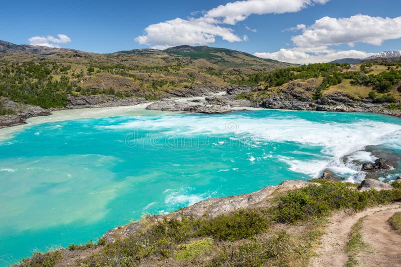
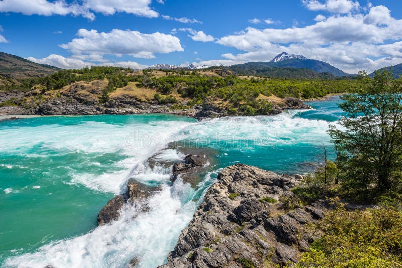
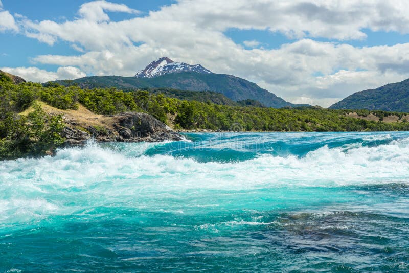
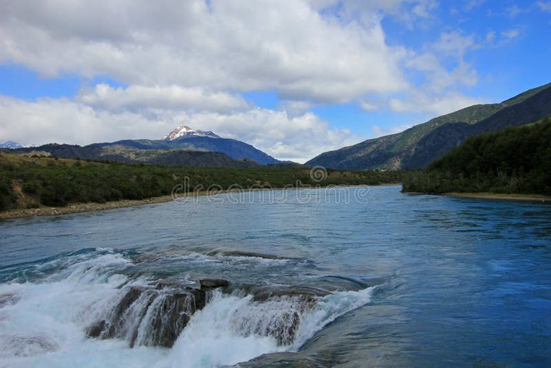
The Baker River is a river located in the Aysen Region of the Chilean Patagonia. It is Chile`s largest river in terms of volume of water. The river flows out of Bertrand Lake, which is fed by General Carrera Lake. It runs along the east side of the Northern Patagonian Ice Field and empties into the Pacific Ocean, near the town of Caleta Tortel. The river forms a delta, dividing into two major arms, of which only the northernmost one is navigable. Its characteristic turquoise-blue color is due to the glacial sediments deposited in it. It was the proposed site of a controversial major hydro-electric project, involving five dams, to be the biggest in the history of Chile. Called HidroAysén, the project was a joint venture between Endesa Chile a subsidiary of the international energy conglomerate Enel, and Colbún S.A. a subsidiary of Minera ValparaÃÂso.
圖片編號:
112715826
拍攝者:
Juanvilata
點數下載
| 授權類型 | 尺寸 | 像素 | 格式 | 點數 | |
|---|---|---|---|---|---|
| 標準授權 | XS | 480 x 213 | JPG | 13 | |
| 標準授權 | S | 800 x 355 | JPG | 15 | |
| 標準授權 | M | 2601 x 1153 | JPG | 18 | |
| 標準授權 | L | 3358 x 1488 | JPG | 20 | |
| 標準授權 | XL | 4247 x 1883 | JPG | 22 | |
| 標準授權 | MAX | 6000 x 2660 | JPG | 23 | |
| 標準授權 | TIFF | 8485 x 3762 | TIF | 39 | |
| 進階授權 | WEL | 6000 x 2660 | JPG | 88 | |
| 進階授權 | PEL | 6000 x 2660 | JPG | 88 | |
| 進階授權 | UEL | 6000 x 2660 | JPG | 88 |
XS
S
M
L
XL
MAX
TIFF
WEL
PEL
UEL
| 標準授權 | 480 x 213 px | JPG | 13 點 |
| 標準授權 | 800 x 355 px | JPG | 15 點 |
| 標準授權 | 2601 x 1153 px | JPG | 18 點 |
| 標準授權 | 3358 x 1488 px | JPG | 20 點 |
| 標準授權 | 4247 x 1883 px | JPG | 22 點 |
| 標準授權 | 6000 x 2660 px | JPG | 23 點 |
| 標準授權 | 8485 x 3762 px | TIF | 39 點 |
| 進階授權 | 6000 x 2660 px | JPG | 88 點 |
| 進階授權 | 6000 x 2660 px | JPG | 88 點 |
| 進階授權 | 6000 x 2660 px | JPG | 88 點 |


 +886-2-8978-1616
 +886-2-2078-5115


