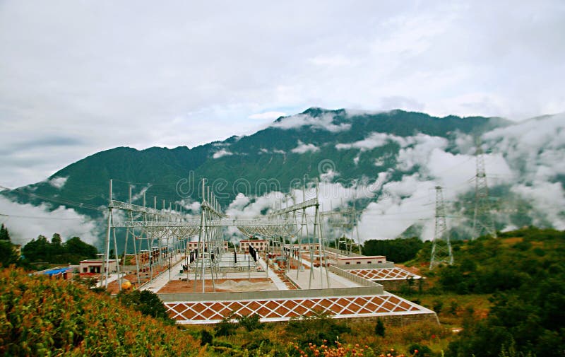
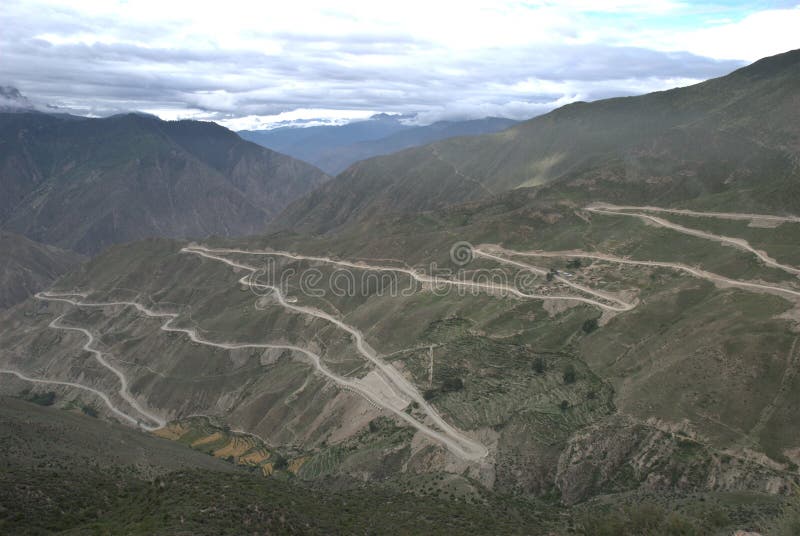
The Sichuan Tibet highway is the modern upgrade of the ancient Sichuan Tibet line, the east of Chengdu, the capital of Sichuan Province, and Lhasa City, the capital of the Tibet autonomous region. It is composed of China& x27;s 318 National Road, 317 National Road, 214 National Road and 109 National Road. It is the steepest road in China. It is divided into the north-south line. There are some connections between the north and South lines, which are generally part of the Sichuan Tibet highway. The south line is the Sichuan Chengdu, Ya& x27;an, Luding, Kangding, East Russia, Yajiang, Litang, Ba Tong, Tibet Mangkam, Zuo Gong, BondA, eight Lodge, Po min, Linzhi Bayi Town, Kombo, Mo bamboo industry card, and the total length of 2146 kilometers, belongs to the 318 National Road & x28;East Shanghai people& x27;s Square, West to Tibet Zhong Nei highway camphor A part of the wood port& x29;. The southern line is a combination of Chuan Kang Road and kangzang highway with Kangding as its main point. There are many famous dangerous sections.
圖片編號:
118478006
拍攝者:
Doso964
點數下載
| 授權類型 | 尺寸 | 像素 | 格式 | 點數 | |
|---|---|---|---|---|---|
| 標準授權 | XS | 480 x 303 | JPG | 13 | |
| 標準授權 | S | 800 x 505 | JPG | 15 | |
| 標準授權 | M | 2448 x 1546 | JPG | 18 | |
| 標準授權 | L | 2813 x 1776 | JPG | 20 | |
| 標準授權 | XL | 3559 x 2247 | JPG | 22 | |
| 標準授權 | MAX | 4359 x 2752 | JPG | 23 | |
| 標準授權 | TIFF | 3462 x 2186 | TIF | 39 | |
| 進階授權 | WEL | 4359 x 2752 | JPG | 88 | |
| 進階授權 | PEL | 4359 x 2752 | JPG | 88 | |
| 進階授權 | UEL | 4359 x 2752 | JPG | 88 |
XS
S
M
L
XL
MAX
TIFF
WEL
PEL
UEL
| 標準授權 | 480 x 303 px | JPG | 13 點 |
| 標準授權 | 800 x 505 px | JPG | 15 點 |
| 標準授權 | 2448 x 1546 px | JPG | 18 點 |
| 標準授權 | 2813 x 1776 px | JPG | 20 點 |
| 標準授權 | 3559 x 2247 px | JPG | 22 點 |
| 標準授權 | 4359 x 2752 px | JPG | 23 點 |
| 標準授權 | 3462 x 2186 px | TIF | 39 點 |
| 進階授權 | 4359 x 2752 px | JPG | 88 點 |
| 進階授權 | 4359 x 2752 px | JPG | 88 點 |
| 進階授權 | 4359 x 2752 px | JPG | 88 點 |


 +886-2-8978-1616
 +886-2-2078-5115


