


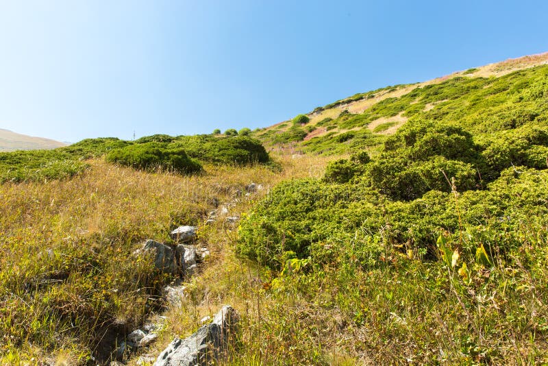
Historically, Kajaran is located in the Dzork canton of the historic province of Syunik. The town is located on the border of two natural landscapes, alpine and highland forests at an average height of 1950 meters above sea level, on the banks of Voghji river, between the Zangezur Mountains and Meghri range. Mount Kaputjugh which is the highest peak of Zangezour Mountains at 3905 meters, is located few kilometers west of Kajaran. The relief is composed of placate rock strata of Araa river basin and is characterized by active erosion.
圖片編號:
拍攝者:
Hovikm
點數下載
| 授權類型 | 尺寸 | 像素 | 格式 | 點數 | |
|---|---|---|---|---|---|
| 標準授權 | XS | 480 x 321 | JPG | 13 | |
| 標準授權 | S | 800 x 536 | JPG | 15 | |
| 標準授權 | M | 2116 x 1417 | JPG | 18 | |
| 標準授權 | L | 2732 x 1829 | JPG | 20 | |
| 標準授權 | XL | 3872 x 2592 | JPG | 22 | |
| 標準授權 | MAX | 4233 x 2834 | JPG | 23 | |
| 標準授權 | ADD | Vector | AI | 38 | |
| 標準授權 | TIFF | 5476 x 3666 | TIF | 39 | |
| 進階授權 | WEL | 4233 x 2834 | JPG | 88 | |
| 進階授權 | UEL | 4233 x 2834 | JPG | 88 |
XS
S
M
L
XL
MAX
ADD
TIFF
WEL
UEL
| 標準授權 | 480 x 321 px | JPG | 13 點 |
| 標準授權 | 800 x 536 px | JPG | 15 點 |
| 標準授權 | 2116 x 1417 px | JPG | 18 點 |
| 標準授權 | 2732 x 1829 px | JPG | 20 點 |
| 標準授權 | 3872 x 2592 px | JPG | 22 點 |
| 標準授權 | 4233 x 2834 px | JPG | 23 點 |
| 標準授權 | Vector px | AI | 38 點 |
| 標準授權 | 5476 x 3666 px | TIF | 39 點 |
| 進階授權 | 4233 x 2834 px | JPG | 88 點 |
| 進階授權 | 4233 x 2834 px | JPG | 88 點 |


 +886-2-8978-1616
 +886-2-2078-5115


