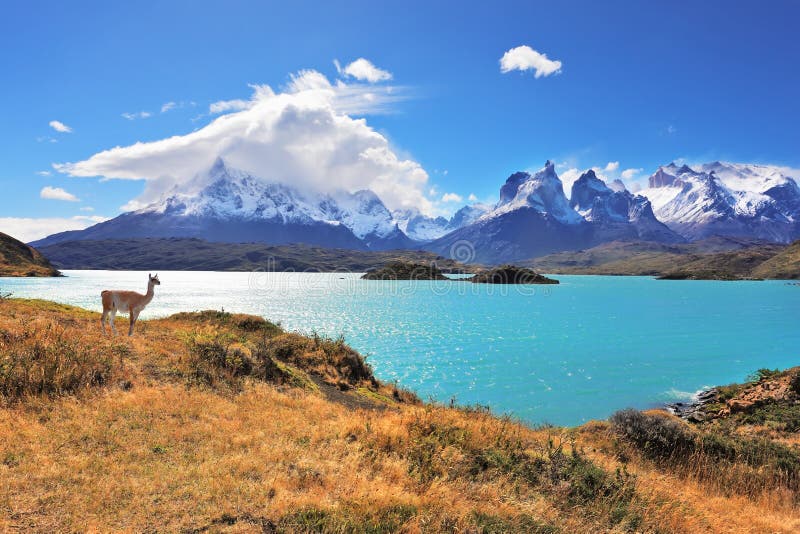
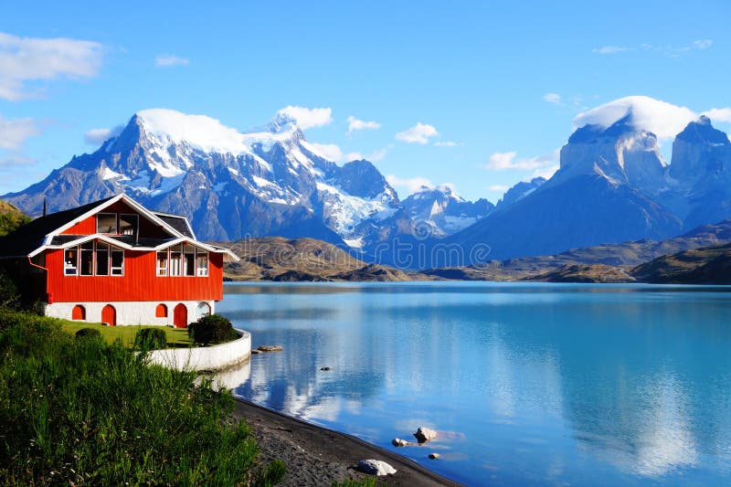
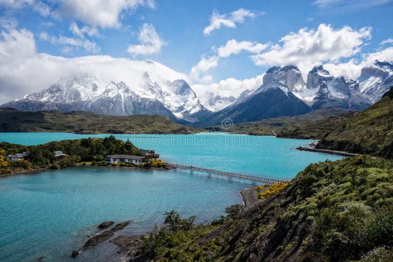
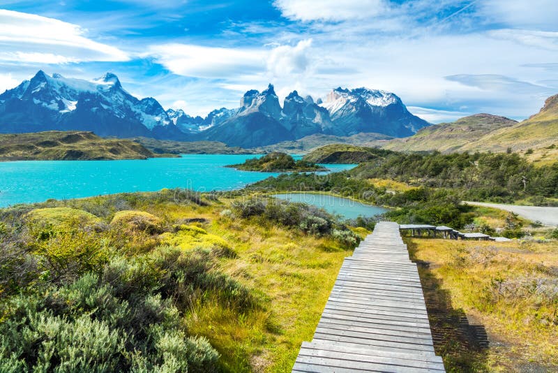
Lake Pehoé Spanish pronunciation: [peoÃËe] is a surface water body located in Torres del Paine National Park, in the Magallanes Region of southern Chile. The lake is fed mainly by Paine River through the Nordenskjöld Lake, but it also receives the waters of the outlet of Skottsberg Lake. The Cordillera Paine is a mountain group in Torres del Paine National Park in Chilean Patagonia. It is located 280 km 170 mi north of Punta Arenas, and about 1,960 km south of the Chilean capital Santiago. It belongs to the Commune of Torres del Paine in ÃÅ¡ltima Esperanza Province of Magallanes and Antártica Chilena Region. No accurate surveys have been published, and published elevations have been claimed to be seriously inflated, so most of the elevations given on this page are approximate. Paine means `blue` in the native Tehuelche Aonikenk language and is pronounced PIE-nay.
圖片編號:
140804922
拍攝者:
Cegocentrico
點數下載
| 授權類型 | 尺寸 | 像素 | 格式 | 點數 | |
|---|---|---|---|---|---|
| 標準授權 | XS | 480 x 238 | JPG | 13 | |
| 標準授權 | S | 800 x 397 | JPG | 15 | |
| 標準授權 | M | 2459 x 1219 | JPG | 18 | |
| 標準授權 | L | 3175 x 1574 | JPG | 20 | |
| 標準授權 | XL | 4016 x 1991 | JPG | 22 | |
| 標準授權 | MAX | 5486 x 2720 | JPG | 23 | |
| 標準授權 | TIFF | 7758 x 3847 | TIF | 39 | |
| 進階授權 | WEL | 5486 x 2720 | JPG | 88 | |
| 進階授權 | PEL | 5486 x 2720 | JPG | 88 | |
| 進階授權 | UEL | 5486 x 2720 | JPG | 88 |
XS
S
M
L
XL
MAX
TIFF
WEL
PEL
UEL
| 標準授權 | 480 x 238 px | JPG | 13 點 |
| 標準授權 | 800 x 397 px | JPG | 15 點 |
| 標準授權 | 2459 x 1219 px | JPG | 18 點 |
| 標準授權 | 3175 x 1574 px | JPG | 20 點 |
| 標準授權 | 4016 x 1991 px | JPG | 22 點 |
| 標準授權 | 5486 x 2720 px | JPG | 23 點 |
| 標準授權 | 7758 x 3847 px | TIF | 39 點 |
| 進階授權 | 5486 x 2720 px | JPG | 88 點 |
| 進階授權 | 5486 x 2720 px | JPG | 88 點 |
| 進階授權 | 5486 x 2720 px | JPG | 88 點 |


 +886-2-8978-1616
 +886-2-2078-5115


