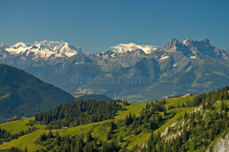
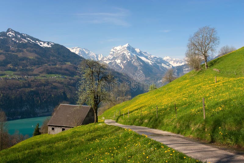
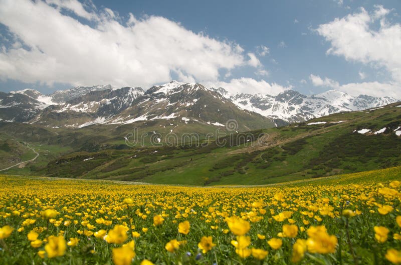
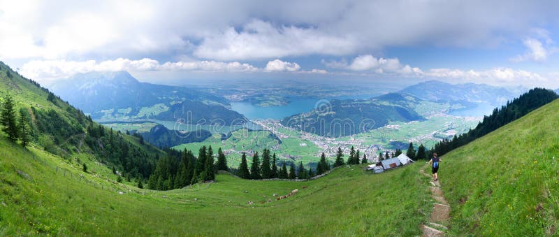
Skaftafell is a preservation area in Oraefi, southeast Iceland. It was once a major farm, later being named a national park. Originally known as Skaftafell National Park, it was subsequently joined together with other nearby regions to form the larger Vatnajokull National Park. The landscape is very similar to some of the Alps, but it has been formed over thousands of years by different influences of volcanic eruptions, glaciers and water. The scenery around Skaftafell is full of stark contrasts. The various glacial tongues are flanked by jagged mountains, with the glacier-topped peak of Hvannadalshnjukur rising highest. Iceland, Europe.
圖片編號:
160379176
拍攝者:
Rechitansorin
點數下載
| 授權類型 | 尺寸 | 像素 | 格式 | 點數 | |
|---|---|---|---|---|---|
| 標準授權 | XS | 480 x 320 | JPG | 13 | |
| 標準授權 | S | 800 x 533 | JPG | 15 | |
| 標準授權 | M | 2121 x 1414 | JPG | 18 | |
| 標準授權 | L | 2738 x 1825 | JPG | 20 | |
| 標準授權 | XL | 4000 x 2667 | JPG | 22 | |
| 標準授權 | MAX | 4242 x 2828 | JPG | 23 | |
| 標準授權 | TIFF | 5657 x 3772 | TIF | 39 | |
| 進階授權 | WEL | 4242 x 2828 | JPG | 88 | |
| 進階授權 | PEL | 4242 x 2828 | JPG | 88 | |
| 進階授權 | UEL | 4242 x 2828 | JPG | 88 |
XS
S
M
L
XL
MAX
TIFF
WEL
PEL
UEL
| 標準授權 | 480 x 320 px | JPG | 13 點 |
| 標準授權 | 800 x 533 px | JPG | 15 點 |
| 標準授權 | 2121 x 1414 px | JPG | 18 點 |
| 標準授權 | 2738 x 1825 px | JPG | 20 點 |
| 標準授權 | 4000 x 2667 px | JPG | 22 點 |
| 標準授權 | 4242 x 2828 px | JPG | 23 點 |
| 標準授權 | 5657 x 3772 px | TIF | 39 點 |
| 進階授權 | 4242 x 2828 px | JPG | 88 點 |
| 進階授權 | 4242 x 2828 px | JPG | 88 點 |
| 進階授權 | 4242 x 2828 px | JPG | 88 點 |


 +886-2-8978-1616
 +886-2-2078-5115


