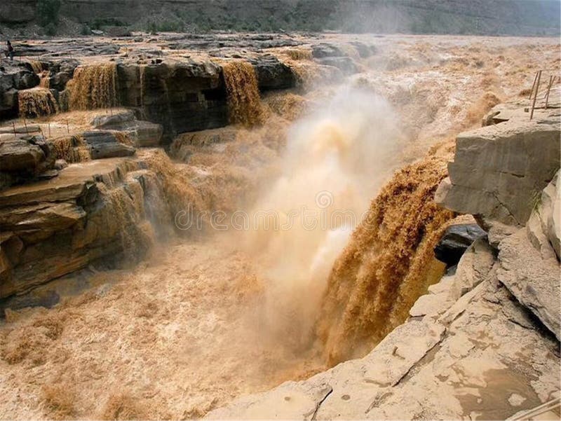
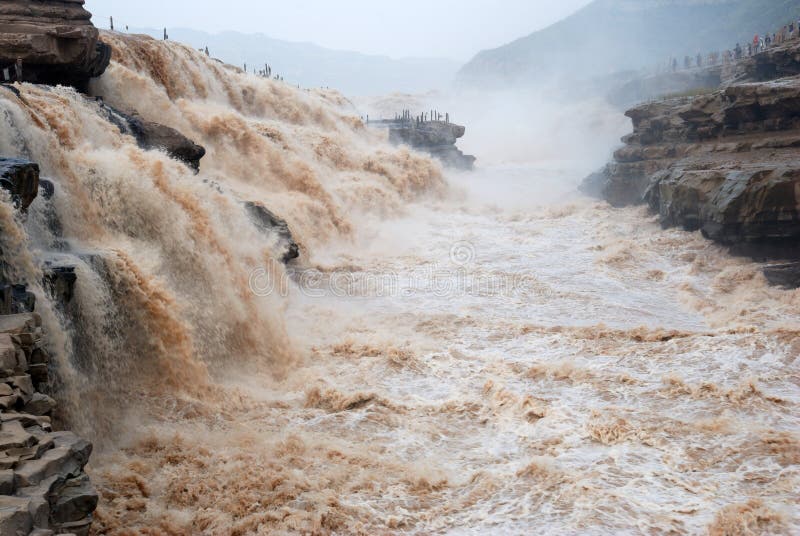
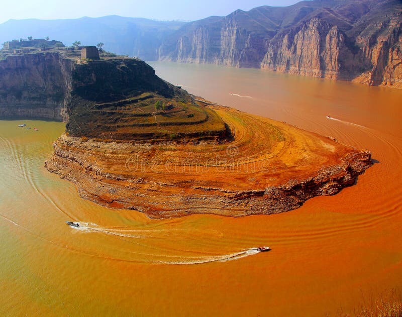
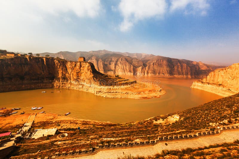
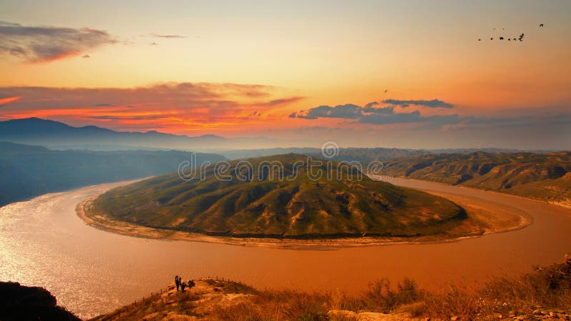
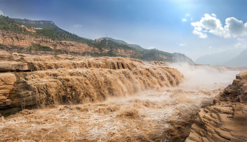
Hukou Waterfall, the east bank is Hukou Town, Jixian County, Linyi City, Shanxi Province, and the west bank is Hukou Township, Yichuan County, Yan`an City, Shaanxi Province. The geographical position is 36 degrees 8 minutes 10 seconds north latitude, 110 degrees 26 minutes 40 seconds east longitude, 448.1 meters above sea level. It is centered on Hukou Waterfall, north to Ma Dung Beach, south to the boat nest, west to the canyon area, east to Renzu Mountain, with a total area of 100 kilometers. It is 45 kilometers away from Jixian County, Shanxi Province, 169 kilometers away from Linyi City, Yandu City, 49 kilometers away from Yichuan County, Shaanxi Province, 170 kilometers away from Yan`an, the revolutionary holy place, 387 kilometers away from Taiyuan, the capital of Shanxi Province, and 449 kilometers away from Xi`an, the capital of Shaanxi Province. .
圖片編號:
161247820
拍攝者:
Xbnh2663
點數下載
| 授權類型 | 尺寸 | 像素 | 格式 | 點數 | |
|---|---|---|---|---|---|
| 標準授權 | XS | 480 x 361 | JPG | 13 | |
| 標準授權 | S | 800 x 601 | JPG | 15 | |
| 標準授權 | M | 2330 x 1750 | JPG | 18 | |
| 標準授權 | L | 2580 x 1937 | JPG | 20 | |
| 標準授權 | XL | 3263 x 2451 | JPG | 22 | |
| 標準授權 | MAX | 3997 x 3002 | JPG | 23 | |
| 標準授權 | TIFF | 3295 x 2475 | TIF | 39 | |
| 進階授權 | WEL | 3997 x 3002 | JPG | 88 | |
| 進階授權 | PEL | 3997 x 3002 | JPG | 88 | |
| 進階授權 | UEL | 3997 x 3002 | JPG | 88 |
XS
S
M
L
XL
MAX
TIFF
WEL
PEL
UEL
| 標準授權 | 480 x 361 px | JPG | 13 點 |
| 標準授權 | 800 x 601 px | JPG | 15 點 |
| 標準授權 | 2330 x 1750 px | JPG | 18 點 |
| 標準授權 | 2580 x 1937 px | JPG | 20 點 |
| 標準授權 | 3263 x 2451 px | JPG | 22 點 |
| 標準授權 | 3997 x 3002 px | JPG | 23 點 |
| 標準授權 | 3295 x 2475 px | TIF | 39 點 |
| 進階授權 | 3997 x 3002 px | JPG | 88 點 |
| 進階授權 | 3997 x 3002 px | JPG | 88 點 |
| 進階授權 | 3997 x 3002 px | JPG | 88 點 |










 +886-2-8978-1616
 +886-2-2078-5115


