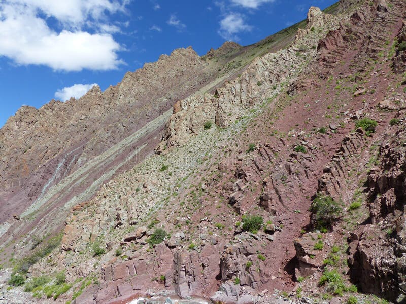
Ladakh /lÃâ°Ã¢â¢Ãâ¹Ãâ dÃâ°Ã¢â¬ËÃâ¹ÃâÃâÃâÃÂk/[7] is a region administered by India as a union territory, and constituting a part of the larger region of Kashmir, which has been the subject of dispute between India, Pakistan, and China since 1947.[8][9] It is bordered by Tibet to the east, the Indian state of Himachal Pradesh to the south, Jammu and Kashmir and Baltistan to the west, and the southwest corner of Xinjiang across the Karakoram Pass in the far north. It extends from the Siachen Glacier in the Karakoram range to the north to the main Great Himalayas to the south.[10][11] The eastern end of Ladakh, consisting of the uninhabited Aksai Chin plains, has been under Chinese control since 1962.[12][13] Until 2019, Ladakh was a region of the state of Jammu and Kashmir. In August 2019, the Parliament of India passed an act by which Ladakh became a union territory on 31 October 2019.
圖片編號:
167263517
拍攝者:
Jaiswalsarvesh00
點數下載
| 授權類型 | 尺寸 | 像素 | 格式 | 點數 | |
|---|---|---|---|---|---|
| 標準授權 | XS | 480 x 202 | JPG | 13 | |
| 標準授權 | S | 800 x 337 | JPG | 15 | |
| 標準授權 | M | 3262 x 1376 | JPG | 18 | |
| 標準授權 | L | 3442 x 1452 | JPG | 20 | |
| 標準授權 | XL | 4354 x 1837 | JPG | 22 | |
| 標準授權 | MAX | 5333 x 2249 | JPG | 23 | |
| 標準授權 | TIFF | 4613 x 1946 | TIF | 39 | |
| 進階授權 | WEL | 5333 x 2249 | JPG | 88 | |
| 進階授權 | PEL | 5333 x 2249 | JPG | 88 | |
| 進階授權 | UEL | 5333 x 2249 | JPG | 88 |
XS
S
M
L
XL
MAX
TIFF
WEL
PEL
UEL
| 標準授權 | 480 x 202 px | JPG | 13 點 |
| 標準授權 | 800 x 337 px | JPG | 15 點 |
| 標準授權 | 3262 x 1376 px | JPG | 18 點 |
| 標準授權 | 3442 x 1452 px | JPG | 20 點 |
| 標準授權 | 4354 x 1837 px | JPG | 22 點 |
| 標準授權 | 5333 x 2249 px | JPG | 23 點 |
| 標準授權 | 4613 x 1946 px | TIF | 39 點 |
| 進階授權 | 5333 x 2249 px | JPG | 88 點 |
| 進階授權 | 5333 x 2249 px | JPG | 88 點 |
| 進階授權 | 5333 x 2249 px | JPG | 88 點 |


 +886-2-8978-1616
 +886-2-2078-5115


