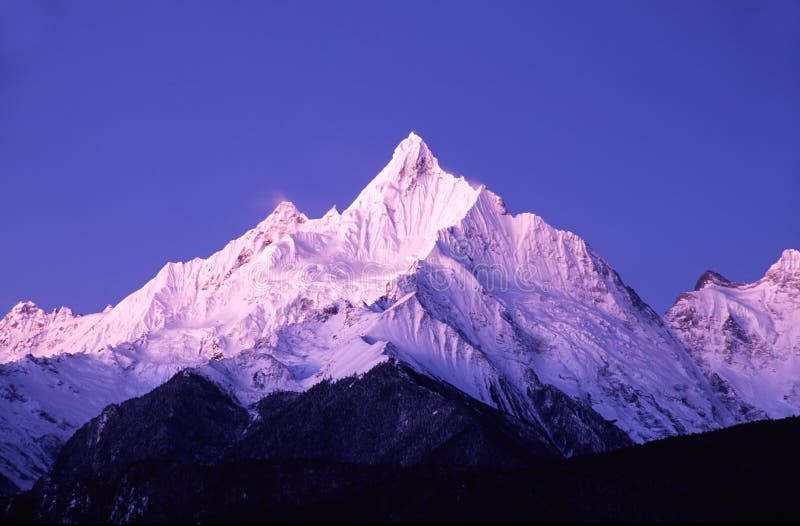
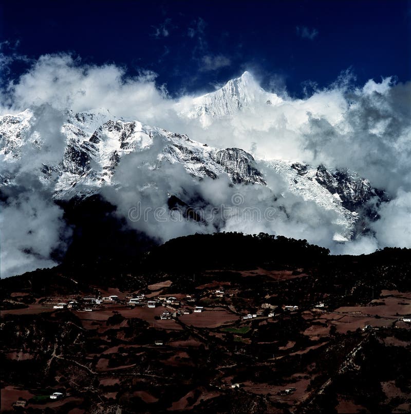
Meili Snow Mountain Or in the Tibetan language known as `Kawagoe` Kawagoe Popo, which means `White Snow Mountain`, Snow Mei Li Mountain Located in the area called Trai Maha Thi Which is the embodiment of the three rivers, namely the Jin Sa Jiang River The Yangtze River Stream Lan Chang Jiang River Upper Mekong River and Nujiang River Salween River in the north, next to Mount Atongkhlae in Tibet. The south is bordered by the Luo Luo snow mountain. The highest peak is 6,740 meters above sea level. Which is the highest peak in Yunnan province This peak resembles a golden pagoda. And is known as one of the sacred peaks of the Tibetan Plateau On the Mei Li snow mountain, there are still 4 glaciers. The largest glacier is `Ming Yong`. Stretching from the Mei Li snow mountain at an altitude of 6740 meters above sea level to the bottom of the jungle at 2700 meters at 7 kilometers in length. This is the glacier that descends the most. China`s But due to the increasing global warming Makes the melting of the glacier expanding Causing this glacier to shrink about 50 meters a year.
圖片編號:
167570268
拍攝者:
Wodaowl223
點數下載
| 授權類型 | 尺寸 | 像素 | 格式 | 點數 | |
|---|---|---|---|---|---|
| 標準授權 | XS | 480 x 320 | JPG | 13 | |
| 標準授權 | S | 800 x 533 | JPG | 15 | |
| 標準授權 | M | 2122 x 1413 | JPG | 18 | |
| 標準授權 | L | 2740 x 1824 | JPG | 20 | |
| 標準授權 | XL | 4000 x 2663 | JPG | 22 | |
| 標準授權 | MAX | 4245 x 2826 | JPG | 23 | |
| 標準授權 | TIFF | 5657 x 3766 | TIF | 39 | |
| 進階授權 | WEL | 4245 x 2826 | JPG | 88 | |
| 進階授權 | PEL | 4245 x 2826 | JPG | 88 | |
| 進階授權 | UEL | 4245 x 2826 | JPG | 88 |
XS
S
M
L
XL
MAX
TIFF
WEL
PEL
UEL
| 標準授權 | 480 x 320 px | JPG | 13 點 |
| 標準授權 | 800 x 533 px | JPG | 15 點 |
| 標準授權 | 2122 x 1413 px | JPG | 18 點 |
| 標準授權 | 2740 x 1824 px | JPG | 20 點 |
| 標準授權 | 4000 x 2663 px | JPG | 22 點 |
| 標準授權 | 4245 x 2826 px | JPG | 23 點 |
| 標準授權 | 5657 x 3766 px | TIF | 39 點 |
| 進階授權 | 4245 x 2826 px | JPG | 88 點 |
| 進階授權 | 4245 x 2826 px | JPG | 88 點 |
| 進階授權 | 4245 x 2826 px | JPG | 88 點 |


 +886-2-8978-1616
 +886-2-2078-5115


