


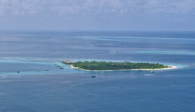
Aerial image showing the lake of Fajã dos Cubres, a permanent debris field, known as a fajã, built from the collapsing cliffs on the northern coast of the civil parish of Ribeira Seca, in the municipality of Calheta, island of São Jorge, in the Portuguese archipelago of the Azores...São Jorge is an island situated in the central group of the Azores archipelago and part of the autonomous region
圖片編號:
拍攝者:
Henrimartin
點數下載
| 授權類型 | 尺寸 | 像素 | 格式 | 點數 | |
|---|---|---|---|---|---|
| 標準授權 | XS | 480 x 320 | JPG | 13 | |
| 標準授權 | S | 800 x 533 | JPG | 15 | |
| 標準授權 | M | 2122 x 1413 | JPG | 18 | |
| 標準授權 | L | 2739 x 1825 | JPG | 20 | |
| 標準授權 | XL | 3465 x 2308 | JPG | 22 | |
| 標準授權 | MAX | 5464 x 3640 | JPG | 23 | |
| 標準授權 | TIFF | 7727 x 5148 | TIF | 39 | |
| 進階授權 | WEL | 5464 x 3640 | JPG | 88 | |
| 進階授權 | PEL | 5464 x 3640 | JPG | 88 | |
| 進階授權 | UEL | 5464 x 3640 | JPG | 88 |
XS
S
M
L
XL
MAX
TIFF
WEL
PEL
UEL
| 標準授權 | 480 x 320 px | JPG | 13 點 |
| 標準授權 | 800 x 533 px | JPG | 15 點 |
| 標準授權 | 2122 x 1413 px | JPG | 18 點 |
| 標準授權 | 2739 x 1825 px | JPG | 20 點 |
| 標準授權 | 3465 x 2308 px | JPG | 22 點 |
| 標準授權 | 5464 x 3640 px | JPG | 23 點 |
| 標準授權 | 7727 x 5148 px | TIF | 39 點 |
| 進階授權 | 5464 x 3640 px | JPG | 88 點 |
| 進階授權 | 5464 x 3640 px | JPG | 88 點 |
| 進階授權 | 5464 x 3640 px | JPG | 88 點 |


 +886-2-8978-1616
 +886-2-2078-5115


