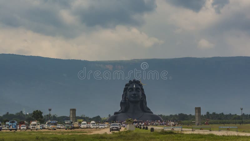
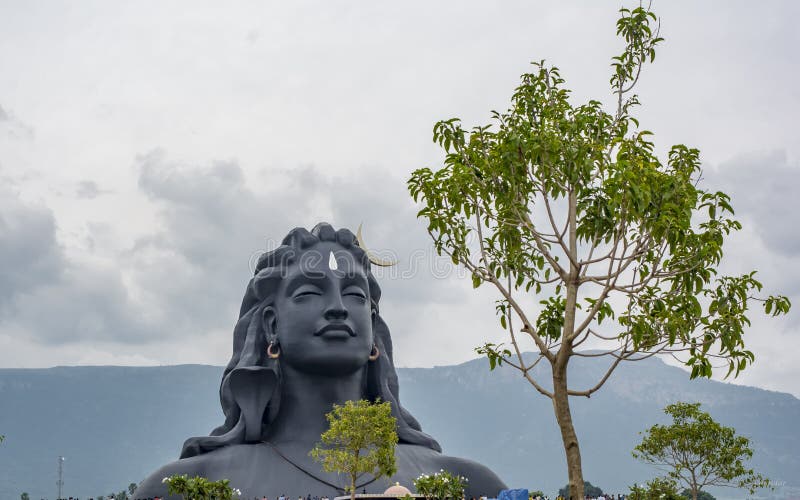
The Velliangiri hills form a major range in the Western Ghats in the Nilgiri Biosphere Reserve. The seven hills with altitudes ranging from 520 m ââ¬â 1840 m are bordered by the plains of Coimbatore district to the east, the Palakad district of Kerala on the western boundary, the Nilgiri mountains to the north, and the Siruvani hills on the southern boundary. The annual rainfall is quite variable in the hills 500 mm ââ¬â 7000 mm with temperatures ranging from 0 ðC during winter to 41 ðC in the summer. Many seasonal rivers such as the Neelivaikal, Mayar or Andisunai traverse the hilly landscape. The Noyyal river originating from Velliangiri hills is one of the major tributaries of the Cauvery, which irrigates about 100,000 of hectares of agricultural land in the plains. The Velliangiri hills watershed feeds into the Siruvani dam, which is the main drinking water supply for 1,500,000 people in the urban centre of Coimbatore
圖片編號:
178735957
拍攝者:
Ravimurugan313
點數下載
| 授權類型 | 尺寸 | 像素 | 格式 | 點數 | |
|---|---|---|---|---|---|
| 標準授權 | XS | 480 x 270 | JPG | 13 | |
| 標準授權 | S | 800 x 450 | JPG | 15 | |
| 標準授權 | M | 2309 x 1299 | JPG | 18 | |
| 標準授權 | L | 2981 x 1677 | JPG | 20 | |
| 標準授權 | XL | 4096 x 2304 | JPG | 22 | |
| 標準授權 | MAX | 4618 x 2598 | JPG | 23 | |
| 標準授權 | TIFF | 5793 x 3258 | TIF | 39 | |
| 進階授權 | WEL | 4618 x 2598 | JPG | 88 | |
| 進階授權 | PEL | 4618 x 2598 | JPG | 88 | |
| 進階授權 | UEL | 4618 x 2598 | JPG | 88 |
XS
S
M
L
XL
MAX
TIFF
WEL
PEL
UEL
| 標準授權 | 480 x 270 px | JPG | 13 點 |
| 標準授權 | 800 x 450 px | JPG | 15 點 |
| 標準授權 | 2309 x 1299 px | JPG | 18 點 |
| 標準授權 | 2981 x 1677 px | JPG | 20 點 |
| 標準授權 | 4096 x 2304 px | JPG | 22 點 |
| 標準授權 | 4618 x 2598 px | JPG | 23 點 |
| 標準授權 | 5793 x 3258 px | TIF | 39 點 |
| 進階授權 | 4618 x 2598 px | JPG | 88 點 |
| 進階授權 | 4618 x 2598 px | JPG | 88 點 |
| 進階授權 | 4618 x 2598 px | JPG | 88 點 |


 +886-2-8978-1616
 +886-2-2078-5115


