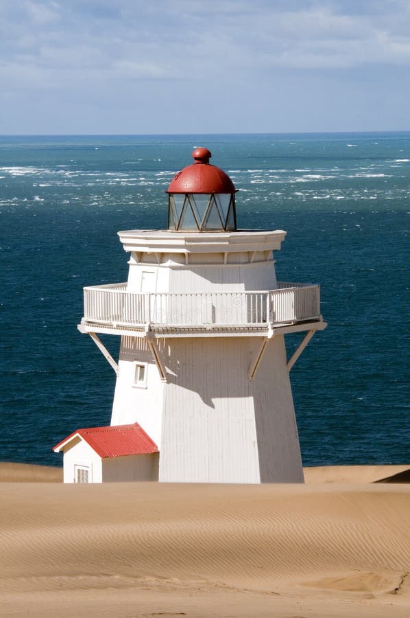
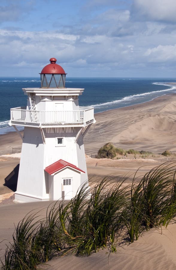
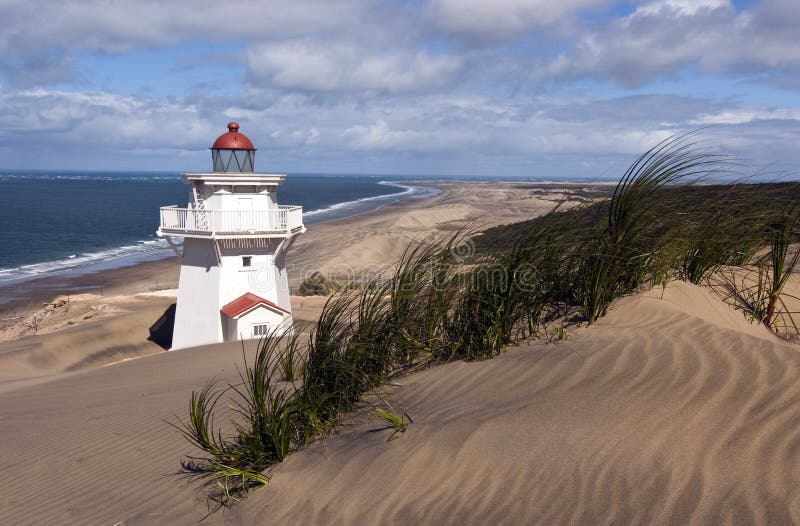
The Pouto Peninsula is one of Northlandââ¬â¢s best-kept secrets, a place of ever-shifting sands, petrified kauri, fossilized leaves and an eerie past full of mystery and intrigue. The Peninsula forms the northern side of the entrance to New Zealandââ¬â¢s largest and most treacherous harbour, the Kaipara. Mysterious names such as the Valley of the Wrecks and The Graveyard pay tribute to a seafaring history that left 150 shipwrecks entombed in the dunes and sandbars. At the end of the road, NZââ¬â¢s oldest wooden lighthouse at Pouto Point is a sturdy 3 storey testament to the one time busy passage of sailing ships carrying timber from the regionââ¬â¢s ancient kauri forests.
圖片編號:
18666010
拍攝者:
Ruthie44
點數下載
| 授權類型 | 尺寸 | 像素 | 格式 | 點數 | |
|---|---|---|---|---|---|
| 標準授權 | XS | 319 x 480 | JPG | 13 | |
| 標準授權 | S | 531 x 800 | JPG | 15 | |
| 標準授權 | M | 1411 x 2125 | JPG | 18 | |
| 標準授權 | L | 1822 x 2743 | JPG | 20 | |
| 標準授權 | XL | 2305 x 3470 | JPG | 22 | |
| 標準授權 | MAX | 2848 x 4288 | JPG | 23 | |
| 標準授權 | TIFF | 4028 x 6064 | TIF | 39 | |
| 進階授權 | WEL | 2848 x 4288 | JPG | 88 | |
| 進階授權 | PEL | 2848 x 4288 | JPG | 88 | |
| 進階授權 | UEL | 2848 x 4288 | JPG | 88 |
XS
S
M
L
XL
MAX
TIFF
WEL
PEL
UEL
| 標準授權 | 319 x 480 px | JPG | 13 點 |
| 標準授權 | 531 x 800 px | JPG | 15 點 |
| 標準授權 | 1411 x 2125 px | JPG | 18 點 |
| 標準授權 | 1822 x 2743 px | JPG | 20 點 |
| 標準授權 | 2305 x 3470 px | JPG | 22 點 |
| 標準授權 | 2848 x 4288 px | JPG | 23 點 |
| 標準授權 | 4028 x 6064 px | TIF | 39 點 |
| 進階授權 | 2848 x 4288 px | JPG | 88 點 |
| 進階授權 | 2848 x 4288 px | JPG | 88 點 |
| 進階授權 | 2848 x 4288 px | JPG | 88 點 |


 +886-2-8978-1616
 +886-2-2078-5115


