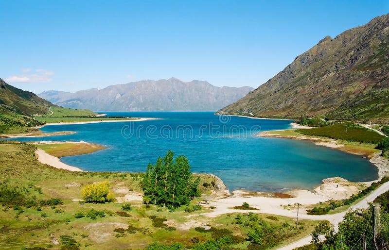
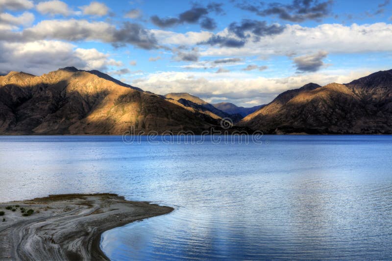
Lake HÃÂwea is New Zealand`s ninth largest lake.nnThe lake is in the Otago Region at an altitude of 348 metres. It covers 141 kmò and reaches 392 metres deep.nnLake HÃÂwea stretches 35 kilometres from north to south. It lies in a glacial valley formed during the last ice age, and is fed by the Hunter River. Nearby Lake WÃÂnaka lies in a parallel glacial valley eight kilometres to the west. At their closest point, a rocky ridge called The Neck, the lakes are only 1000 metres apart.nnLake HÃÂwea is dammed to the south by an ancient terminal moraine created some 10,000 years ago. In 1958 the lake was artificially raised 20 metres to store more water for increased hydroelectric power generation at the Roxburgh Dam.
圖片編號:
192395427
拍攝者:
Mauriehill
點數下載
| 授權類型 | 尺寸 | 像素 | 格式 | 點數 | |
|---|---|---|---|---|---|
| 標準授權 | XS | 480 x 320 | JPG | 13 | |
| 標準授權 | S | 800 x 533 | JPG | 15 | |
| 標準授權 | M | 2122 x 1413 | JPG | 18 | |
| 標準授權 | L | 2739 x 1824 | JPG | 20 | |
| 標準授權 | XL | 3465 x 2308 | JPG | 22 | |
| 標準授權 | MAX | 8199 x 5461 | JPG | 23 | |
| 標準授權 | TIFF | 11595 x 7723 | TIF | 39 | |
| 進階授權 | WEL | 8199 x 5461 | JPG | 88 | |
| 進階授權 | PEL | 8199 x 5461 | JPG | 88 | |
| 進階授權 | UEL | 8199 x 5461 | JPG | 88 |
XS
S
M
L
XL
MAX
TIFF
WEL
PEL
UEL
| 標準授權 | 480 x 320 px | JPG | 13 點 |
| 標準授權 | 800 x 533 px | JPG | 15 點 |
| 標準授權 | 2122 x 1413 px | JPG | 18 點 |
| 標準授權 | 2739 x 1824 px | JPG | 20 點 |
| 標準授權 | 3465 x 2308 px | JPG | 22 點 |
| 標準授權 | 8199 x 5461 px | JPG | 23 點 |
| 標準授權 | 11595 x 7723 px | TIF | 39 點 |
| 進階授權 | 8199 x 5461 px | JPG | 88 點 |
| 進階授權 | 8199 x 5461 px | JPG | 88 點 |
| 進階授權 | 8199 x 5461 px | JPG | 88 點 |


 +886-2-8978-1616
 +886-2-2078-5115


