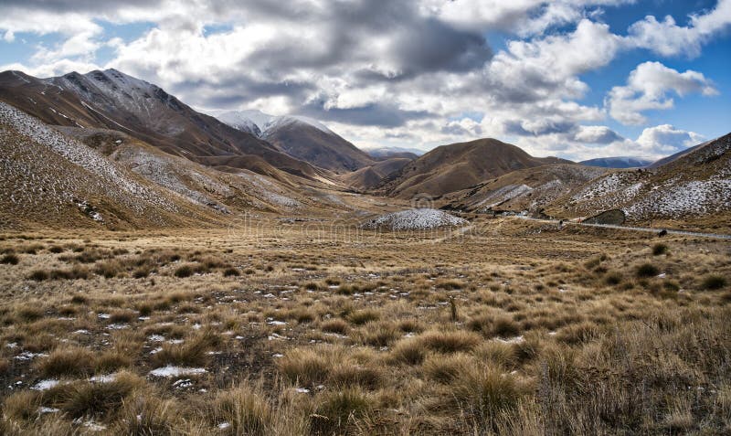
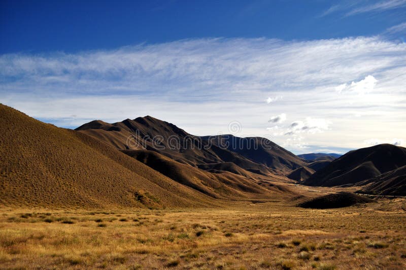
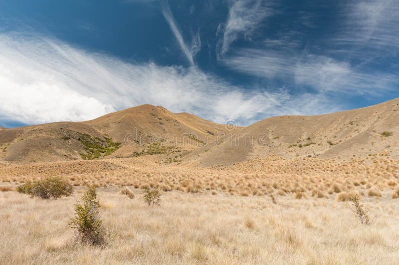
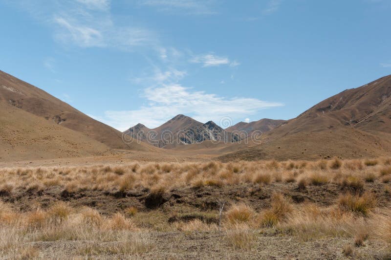
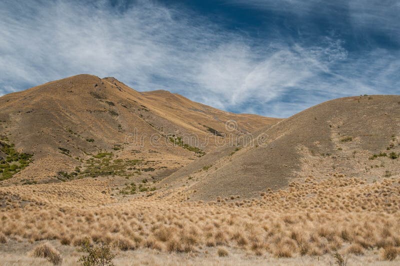
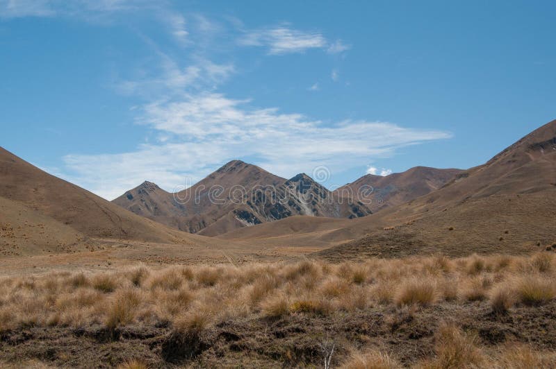
The dramatic Lindis Pass links the Mackenzie Basin with Central Otago. The actual pass crosses a saddle between the valleys of the Lindis and Ahuriri Rivers at an altitude of 971 metres above sea level. For many months of the year, you can expect to see snow in this mountainous area - often down to the roadside.Adjacent to the highway is the Lindis Conservation Area. Here snow tussock grassland dominates the landscape. Longslip Mountain 1494 metres has one of the most extensive sites of the buttercup ranunculus haastii in the Mackenzie Basin
圖片編號:
192395472
拍攝者:
Mauriehill
點數下載
| 授權類型 | 尺寸 | 像素 | 格式 | 點數 | |
|---|---|---|---|---|---|
| 標準授權 | XS | 480 x 286 | JPG | 13 | |
| 標準授權 | S | 800 x 477 | JPG | 15 | |
| 標準授權 | M | 2243 x 1337 | JPG | 18 | |
| 標準授權 | L | 2895 x 1726 | JPG | 20 | |
| 標準授權 | XL | 3662 x 2184 | JPG | 22 | |
| 標準授權 | MAX | 8189 x 4883 | JPG | 23 | |
| 標準授權 | TIFF | 11581 x 6906 | TIF | 39 | |
| 進階授權 | WEL | 8189 x 4883 | JPG | 88 | |
| 進階授權 | PEL | 8189 x 4883 | JPG | 88 | |
| 進階授權 | UEL | 8189 x 4883 | JPG | 88 |
XS
S
M
L
XL
MAX
TIFF
WEL
PEL
UEL
| 標準授權 | 480 x 286 px | JPG | 13 點 |
| 標準授權 | 800 x 477 px | JPG | 15 點 |
| 標準授權 | 2243 x 1337 px | JPG | 18 點 |
| 標準授權 | 2895 x 1726 px | JPG | 20 點 |
| 標準授權 | 3662 x 2184 px | JPG | 22 點 |
| 標準授權 | 8189 x 4883 px | JPG | 23 點 |
| 標準授權 | 11581 x 6906 px | TIF | 39 點 |
| 進階授權 | 8189 x 4883 px | JPG | 88 點 |
| 進階授權 | 8189 x 4883 px | JPG | 88 點 |
| 進階授權 | 8189 x 4883 px | JPG | 88 點 |








 +886-2-8978-1616
 +886-2-2078-5115


