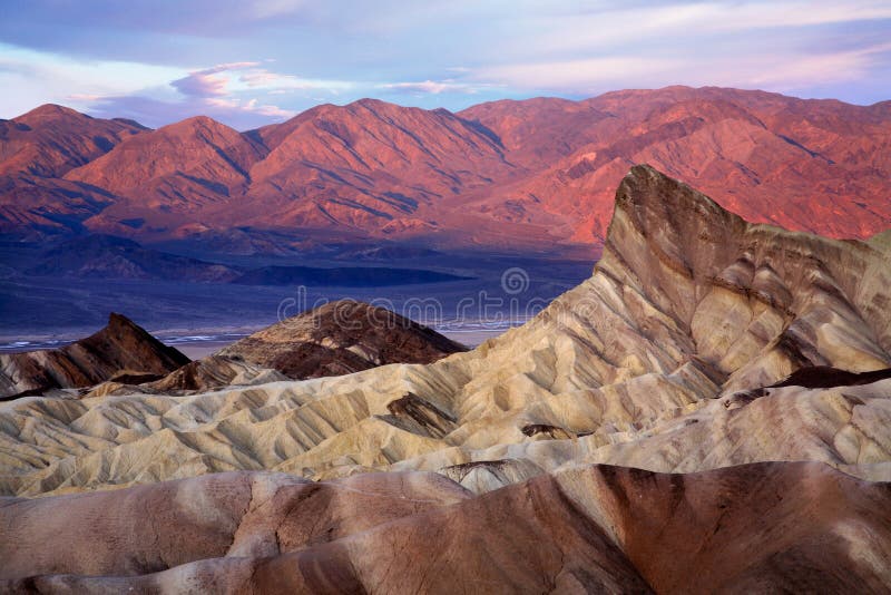
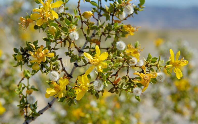
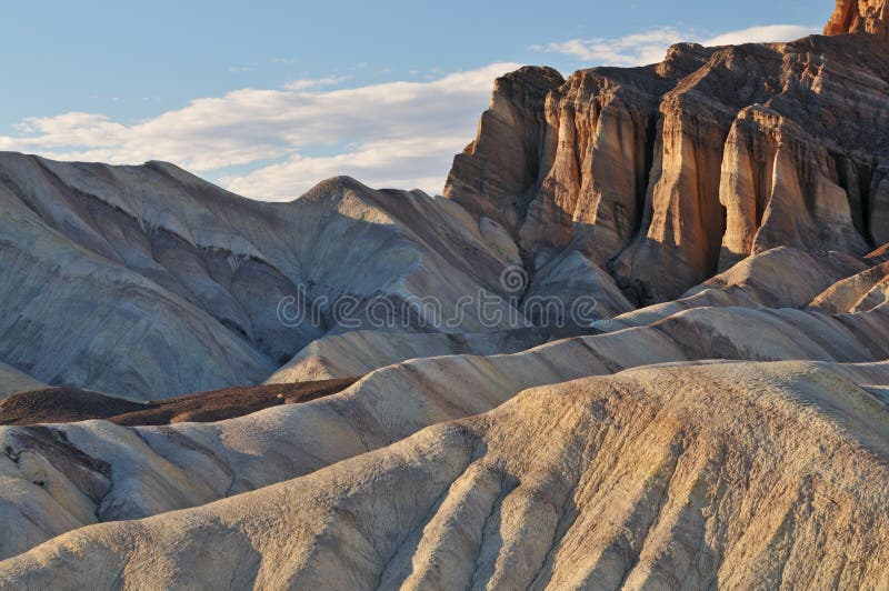
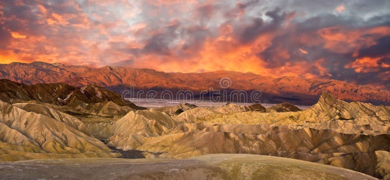
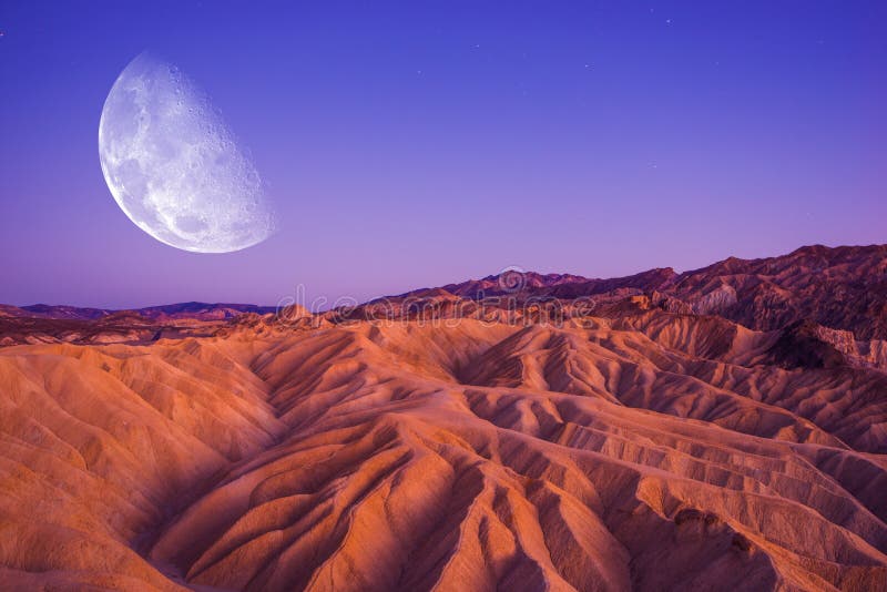
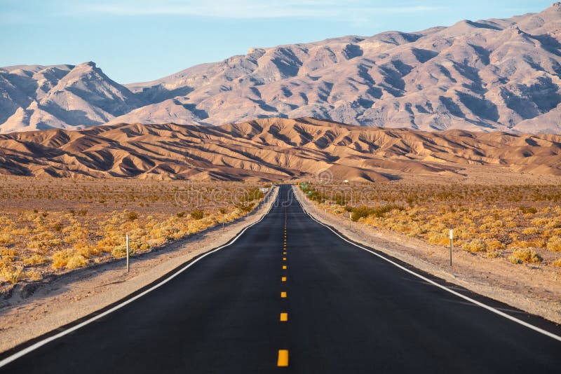
Death Valley is a desert valley in Eastern California, in the northern Mojave Desert, bordering the Great Basin Desert. It is one of the hottest places on Earth, along with deserts in the Middle East and the Sahara.
Death Valley`s Badwater Basin is the point of lowest elevation in North America, at 282 feet 86 m below sea level. It is 84.6 miles 136.2 km east-southeast of Mount Whitney, the highest point in the contiguous United States, with an elevation of 14,505 feet 4,421 m. On the afternoon of July 10, 1913, the United States Weather Bureau recorded a high temperature of 134 ðF 56.7 ðC at Furnace Creek in Death Valley, which stands as the highest ambient air temperature ever recorded at the surface of the Earth. There are ongoing disputes among modern experts regarding the reliability of readings from the first half of the 20th century, including this reading and a number of other readings from around the world. Setting aside disputed readings, the highest reliably recorded temperature on Earth is also from Furnace Creek, where a reading of 130 ðF 54.4 ðC was recorded in August 2020.
圖片編號:
194680768
拍攝者:
Yasminfaddis
點數下載
| 授權類型 | 尺寸 | 像素 | 格式 | 點數 | |
|---|---|---|---|---|---|
| 標準授權 | XS | 480 x 320 | JPG | 13 | |
| 標準授權 | S | 800 x 533 | JPG | 15 | |
| 標準授權 | M | 2121 x 1414 | JPG | 18 | |
| 標準授權 | L | 2738 x 1825 | JPG | 20 | |
| 標準授權 | XL | 3464 x 2309 | JPG | 22 | |
| 標準授權 | MAX | 6720 x 4480 | JPG | 23 | |
| 標準授權 | TIFF | 9504 x 6336 | TIF | 39 | |
| 進階授權 | WEL | 6720 x 4480 | JPG | 88 | |
| 進階授權 | PEL | 6720 x 4480 | JPG | 88 | |
| 進階授權 | UEL | 6720 x 4480 | JPG | 88 |
XS
S
M
L
XL
MAX
TIFF
WEL
PEL
UEL
| 標準授權 | 480 x 320 px | JPG | 13 點 |
| 標準授權 | 800 x 533 px | JPG | 15 點 |
| 標準授權 | 2121 x 1414 px | JPG | 18 點 |
| 標準授權 | 2738 x 1825 px | JPG | 20 點 |
| 標準授權 | 3464 x 2309 px | JPG | 22 點 |
| 標準授權 | 6720 x 4480 px | JPG | 23 點 |
| 標準授權 | 9504 x 6336 px | TIF | 39 點 |
| 進階授權 | 6720 x 4480 px | JPG | 88 點 |
| 進階授權 | 6720 x 4480 px | JPG | 88 點 |
| 進階授權 | 6720 x 4480 px | JPG | 88 點 |








 +886-2-8978-1616
 +886-2-2078-5115


