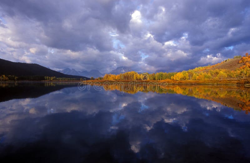
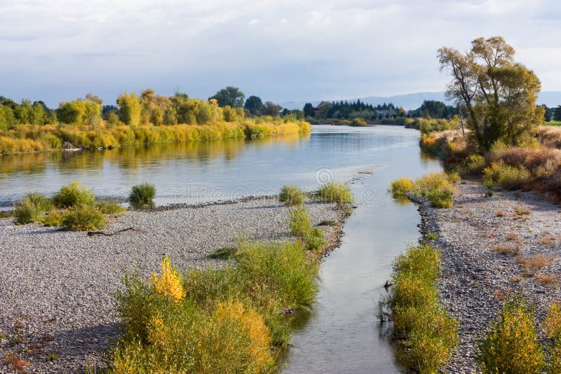
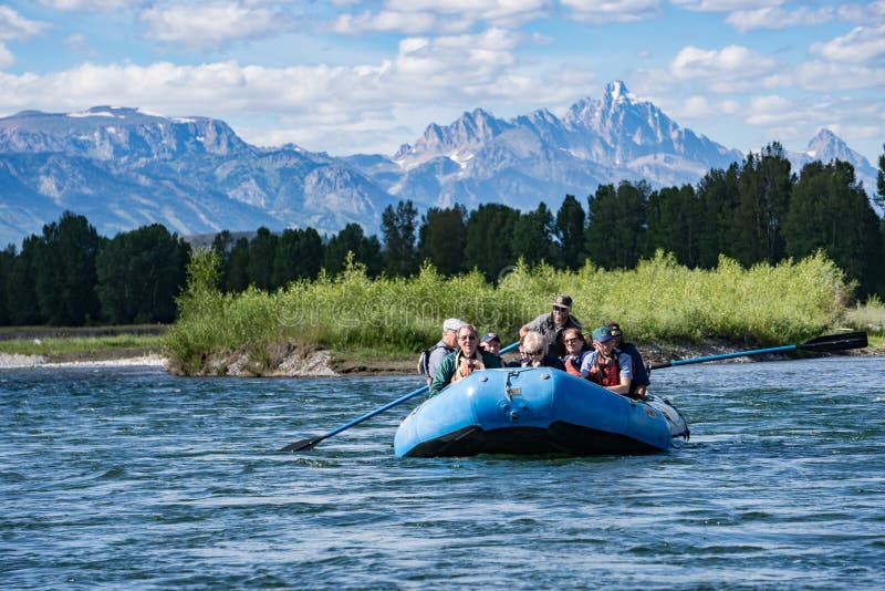
Hell`s Canyon, a 10-mile-wide 16 km canyon runs between Oregon and Washington on the east and Idaho on the west in the United States. Part of the Hells Canyon National Recreation Area, Wallowa-Whitman National Forest. North America`s 2nd deepest river gorge at 7,993 feet 2,436 m. Hell`s Canyon runs deeper than the the Grand Canyon. The Snake River flows more than one mile 1.6km below the canyon`s west rim on the Oregon side and 7,400 feet 2,300 m below the peaks of Idaho`s Seven Devils Mountains range to the east. Geologic history began 300 million years ago with an arc of volcanoes. Over millions of years, the volcanoes subsided and limestone built up on the underwater platforms. The basins between them were filled with sedimentary rock. High Desert climate, pacific northwest.
圖片編號:
195944208
拍攝者:
Thetinyphotographer
點數下載
| 授權類型 | 尺寸 | 像素 | 格式 | 點數 | |
|---|---|---|---|---|---|
| 標準授權 | XS | 480 x 319 | JPG | 13 | |
| 標準授權 | S | 800 x 532 | JPG | 15 | |
| 標準授權 | M | 2124 x 1412 | JPG | 18 | |
| 標準授權 | L | 2742 x 1823 | JPG | 20 | |
| 標準授權 | XL | 3468 x 2306 | JPG | 22 | |
| 標準授權 | MAX | 6016 x 4000 | JPG | 23 | |
| 標準授權 | TIFF | 8508 x 5657 | TIF | 39 | |
| 進階授權 | WEL | 6016 x 4000 | JPG | 88 | |
| 進階授權 | PEL | 6016 x 4000 | JPG | 88 | |
| 進階授權 | UEL | 6016 x 4000 | JPG | 88 |
XS
S
M
L
XL
MAX
TIFF
WEL
PEL
UEL
| 標準授權 | 480 x 319 px | JPG | 13 點 |
| 標準授權 | 800 x 532 px | JPG | 15 點 |
| 標準授權 | 2124 x 1412 px | JPG | 18 點 |
| 標準授權 | 2742 x 1823 px | JPG | 20 點 |
| 標準授權 | 3468 x 2306 px | JPG | 22 點 |
| 標準授權 | 6016 x 4000 px | JPG | 23 點 |
| 標準授權 | 8508 x 5657 px | TIF | 39 點 |
| 進階授權 | 6016 x 4000 px | JPG | 88 點 |
| 進階授權 | 6016 x 4000 px | JPG | 88 點 |
| 進階授權 | 6016 x 4000 px | JPG | 88 點 |


 +886-2-8978-1616
 +886-2-2078-5115


