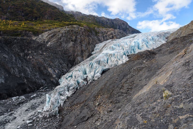
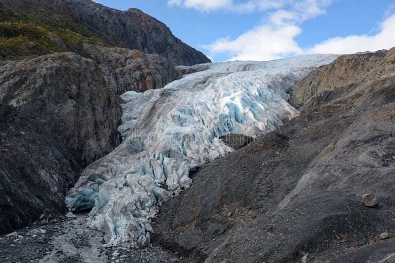
This photo shows the landscape around the the outwash plain of the Exit Glacier up to the mountains of the other side of the resurrection river. It was taken from the Harding Icefield Trail on the way uphill towards the point Marmot Meadows. The trail can be reached from the Exit Glacier Area Parking Lot. It first winds through cottonwood and alder forests then passes though heather filled meadows and ultimately climbs well above tree line to a breath-taking view of the Icefield.
圖片編號:
205506066
拍攝者:
AHIPhoto
點數下載
| 授權類型 | 尺寸 | 像素 | 格式 | 點數 | |
|---|---|---|---|---|---|
| 標準授權 | XS | 480 x 317 | JPG | 13 | |
| 標準授權 | S | 800 x 528 | JPG | 15 | |
| 標準授權 | M | 2131 x 1407 | JPG | 18 | |
| 標準授權 | L | 2751 x 1817 | JPG | 20 | |
| 標準授權 | XL | 3480 x 2298 | JPG | 22 | |
| 標準授權 | MAX | 4500 x 2972 | JPG | 23 | |
| 標準授權 | TIFF | 6364 x 4203 | TIF | 39 | |
| 進階授權 | WEL | 4500 x 2972 | JPG | 88 | |
| 進階授權 | PEL | 4500 x 2972 | JPG | 88 | |
| 進階授權 | UEL | 4500 x 2972 | JPG | 88 |
XS
S
M
L
XL
MAX
TIFF
WEL
PEL
UEL
| 標準授權 | 480 x 317 px | JPG | 13 點 |
| 標準授權 | 800 x 528 px | JPG | 15 點 |
| 標準授權 | 2131 x 1407 px | JPG | 18 點 |
| 標準授權 | 2751 x 1817 px | JPG | 20 點 |
| 標準授權 | 3480 x 2298 px | JPG | 22 點 |
| 標準授權 | 4500 x 2972 px | JPG | 23 點 |
| 標準授權 | 6364 x 4203 px | TIF | 39 點 |
| 進階授權 | 4500 x 2972 px | JPG | 88 點 |
| 進階授權 | 4500 x 2972 px | JPG | 88 點 |
| 進階授權 | 4500 x 2972 px | JPG | 88 點 |


 +886-2-8978-1616
 +886-2-2078-5115


