


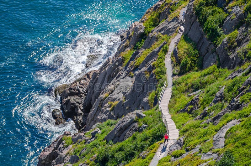
Hengistbury Head /ÃËhÃâºÃ
â¹Ã¡ÃªstbÃâ¢ri/ is a headland jutting into the English Channel between Bournemouth and Mudeford in the English county of Dorset. It is a site of international importance in terms of its archaeology and is scheduled as an Ancient Monument.[1] Declared a Local Nature Reserve in 1990, the head and its surroundings form part of the Christchurch Harbour Site of Special Scientific Interest.[2] It is also a Special Area of Conservation, Special Protection Area, an Environmentally Sensitive Area and a Site of Nature Conservation Interest.[3] The name `Hengistbury Head` refers to the immediate area; the elevated portion is called Warren Hill.
There has been human activity on the site since the Upper Palaeolithic.[4][5] During the Victorian era, it was heavily quarried, and in recent years tourism has become significant ââ¬â it receives more than one million visitors annually. The various habitats on the Head provide a home for many plants, birds and insects, some of them rare and critically endangered. Erosion remains a threat to the site, although long-term projects are intended to secure it for the future.
圖片編號:
211096328
拍攝者:
Sandraipswich
點數下載
| 授權類型 | 尺寸 | 像素 | 格式 | 點數 | |
|---|---|---|---|---|---|
| 標準授權 | XS | 320 x 480 | JPG | 13 | |
| 標準授權 | S | 533 x 800 | JPG | 15 | |
| 標準授權 | M | 1414 x 2121 | JPG | 18 | |
| 標準授權 | L | 1825 x 2738 | JPG | 20 | |
| 標準授權 | XL | 2309 x 3464 | JPG | 22 | |
| 標準授權 | MAX | 3456 x 5184 | JPG | 23 | |
| 標準授權 | TIFF | 4888 x 7331 | TIF | 39 | |
| 進階授權 | UEL | 3456 x 5184 | JPG | 88 |
XS
S
M
L
XL
MAX
TIFF
UEL
| 標準授權 | 320 x 480 px | JPG | 13 點 |
| 標準授權 | 533 x 800 px | JPG | 15 點 |
| 標準授權 | 1414 x 2121 px | JPG | 18 點 |
| 標準授權 | 1825 x 2738 px | JPG | 20 點 |
| 標準授權 | 2309 x 3464 px | JPG | 22 點 |
| 標準授權 | 3456 x 5184 px | JPG | 23 點 |
| 標準授權 | 4888 x 7331 px | TIF | 39 點 |
| 進階授權 | 3456 x 5184 px | JPG | 88 點 |


 +886-2-8978-1616
 +886-2-2078-5115


