


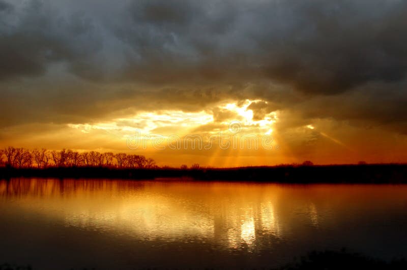
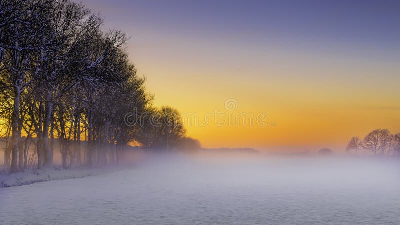
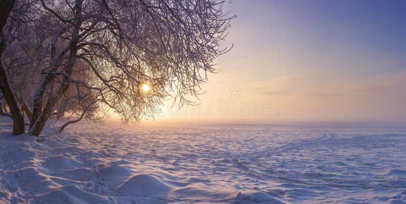
The Fagaras Mountains represent a mountainous massif that is part of the Southern Carpathians, and in which is the highest mountain peak in Romania, the Moldoveanu peak, with an altitude of 2,544 meters. The Fagaras massif, from east to west, measures in a straight line, about 70 km and from north to south about 45 km. The Fagaras Mountains resemble a huge spine oriented from east to west with ââ¬Åribsââ¬Â peaks oriented to the north and south, respectively. The peaks in the north are much shorter and steeper than those in the south, which are very long and gentle. The high density of peaks, cliffs, peaks and heights, attracted the massif to the name of the Transylvanian Alps, an expression attributed to the French scientist Emmanuel de Martonne. Romania, Europe.
圖片編號:
216355756
拍攝者:
Rechitansorin
點數下載
| 授權類型 | 尺寸 | 像素 | 格式 | 點數 | |
|---|---|---|---|---|---|
| 標準授權 | XS | 480 x 316 | JPG | 13 | |
| 標準授權 | S | 800 x 526 | JPG | 15 | |
| 標準授權 | M | 2136 x 1404 | JPG | 18 | |
| 標準授權 | L | 2757 x 1812 | JPG | 20 | |
| 標準授權 | XL | 3488 x 2293 | JPG | 22 | |
| 標準授權 | MAX | 5259 x 3457 | JPG | 23 | |
| 標準授權 | TIFF | 7437 x 4889 | TIF | 39 | |
| 進階授權 | WEL | 5259 x 3457 | JPG | 88 | |
| 進階授權 | PEL | 5259 x 3457 | JPG | 88 | |
| 進階授權 | UEL | 5259 x 3457 | JPG | 88 |
XS
S
M
L
XL
MAX
TIFF
WEL
PEL
UEL
| 標準授權 | 480 x 316 px | JPG | 13 點 |
| 標準授權 | 800 x 526 px | JPG | 15 點 |
| 標準授權 | 2136 x 1404 px | JPG | 18 點 |
| 標準授權 | 2757 x 1812 px | JPG | 20 點 |
| 標準授權 | 3488 x 2293 px | JPG | 22 點 |
| 標準授權 | 5259 x 3457 px | JPG | 23 點 |
| 標準授權 | 7437 x 4889 px | TIF | 39 點 |
| 進階授權 | 5259 x 3457 px | JPG | 88 點 |
| 進階授權 | 5259 x 3457 px | JPG | 88 點 |
| 進階授權 | 5259 x 3457 px | JPG | 88 點 |


 +886-2-8978-1616
 +886-2-2078-5115


