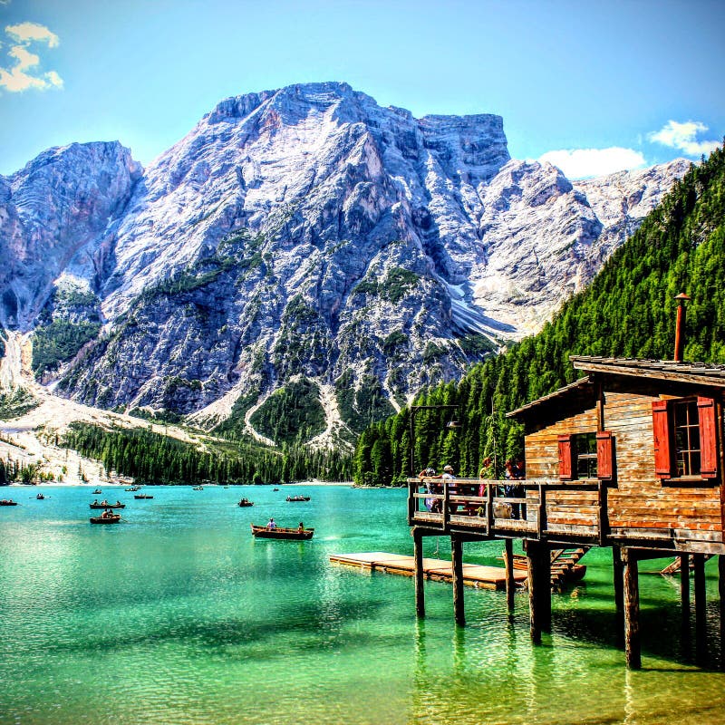
The Jinsha River refers to the upper reaches of the Yangtze River in China from the mouth of the Batang River in Yushu City, Qinghai Province to the mouth of the Minjiang River in Yibin City, Sichuan Province. The Jinsha River flows through Qinghai, Tibet, Sichuan, and Yunnan in western China, with a total length of 2,308 kilometers[1] and a drainage area of 340,000 square kilometers. There are tributaries such as Wuliang River, Yalong River, Pudu River, Niulan River and Hengjiang River.
It rushes between Shaluli Mountain and Mangkang Mountain on the Sichuan-Tibet border, to Shigu Town, Yulong County, Yunnan Province, and turns to the north stream. It cuts into the plateau and forms the famous Tiger Leaping Gorge. The water is swift and there are cliffs and waterfalls on both sides of the river. The drop is 3,300 meters. , Is one of the deepest canyons in the world.
圖片編號:
225515212
拍攝者:
Lizlee
點數下載
| 授權類型 | 尺寸 | 像素 | 格式 | 點數 | |
|---|---|---|---|---|---|
| 標準授權 | XS | 480 x 320 | JPG | 13 | |
| 標準授權 | S | 800 x 534 | JPG | 15 | |
| 標準授權 | M | 2120 x 1414 | JPG | 18 | |
| 標準授權 | L | 2737 x 1826 | JPG | 20 | |
| 標準授權 | XL | 3463 x 2309 | JPG | 22 | |
| 標準授權 | MAX | 7952 x 5304 | JPG | 23 | |
| 標準授權 | TIFF | 11246 x 7501 | TIF | 39 | |
| 進階授權 | WEL | 7952 x 5304 | JPG | 88 | |
| 進階授權 | PEL | 7952 x 5304 | JPG | 88 | |
| 進階授權 | UEL | 7952 x 5304 | JPG | 88 |
XS
S
M
L
XL
MAX
TIFF
WEL
PEL
UEL
| 標準授權 | 480 x 320 px | JPG | 13 點 |
| 標準授權 | 800 x 534 px | JPG | 15 點 |
| 標準授權 | 2120 x 1414 px | JPG | 18 點 |
| 標準授權 | 2737 x 1826 px | JPG | 20 點 |
| 標準授權 | 3463 x 2309 px | JPG | 22 點 |
| 標準授權 | 7952 x 5304 px | JPG | 23 點 |
| 標準授權 | 11246 x 7501 px | TIF | 39 點 |
| 進階授權 | 7952 x 5304 px | JPG | 88 點 |
| 進階授權 | 7952 x 5304 px | JPG | 88 點 |
| 進階授權 | 7952 x 5304 px | JPG | 88 點 |


 +886-2-8978-1616
 +886-2-2078-5115


