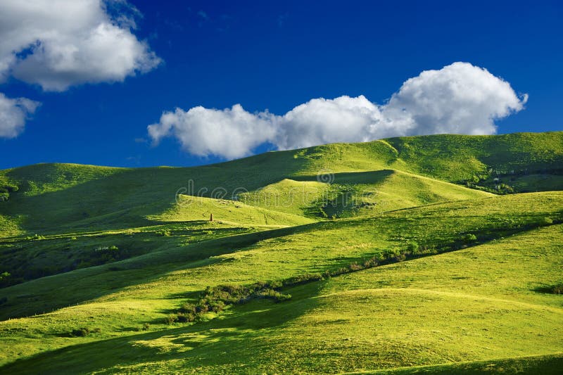
Green hills under blue sky and white clouds.Dongda Mountain is located in Zuogong County, Tibet. Before the re-mapping, it was the second-highest pass on the southern Sichuan-Tibet line. The pass has an elevation of 5008 meters. According to the latest survey results, the actual altitude of the pass is 5130 meters, making it southern Sichuan-Tibet. The pass, which is the highest altitude on the line, has green lawns in summer and flocks of yaks. The scenery is extremely beautiful.Taken in Tibet, China.
圖片編號:
225523601
拍攝者:
Lizlee
點數下載
| 授權類型 | 尺寸 | 像素 | 格式 | 點數 | |
|---|---|---|---|---|---|
| 標準授權 | XS | 480 x 320 | JPG | 13 | |
| 標準授權 | S | 800 x 534 | JPG | 15 | |
| 標準授權 | M | 2120 x 1414 | JPG | 18 | |
| 標準授權 | L | 2737 x 1826 | JPG | 20 | |
| 標準授權 | XL | 3463 x 2309 | JPG | 22 | |
| 標準授權 | MAX | 7952 x 5304 | JPG | 23 | |
| 標準授權 | TIFF | 11246 x 7501 | TIF | 39 | |
| 進階授權 | WEL | 7952 x 5304 | JPG | 88 | |
| 進階授權 | PEL | 7952 x 5304 | JPG | 88 | |
| 進階授權 | UEL | 7952 x 5304 | JPG | 88 |
XS
S
M
L
XL
MAX
TIFF
WEL
PEL
UEL
| 標準授權 | 480 x 320 px | JPG | 13 點 |
| 標準授權 | 800 x 534 px | JPG | 15 點 |
| 標準授權 | 2120 x 1414 px | JPG | 18 點 |
| 標準授權 | 2737 x 1826 px | JPG | 20 點 |
| 標準授權 | 3463 x 2309 px | JPG | 22 點 |
| 標準授權 | 7952 x 5304 px | JPG | 23 點 |
| 標準授權 | 11246 x 7501 px | TIF | 39 點 |
| 進階授權 | 7952 x 5304 px | JPG | 88 點 |
| 進階授權 | 7952 x 5304 px | JPG | 88 點 |
| 進階授權 | 7952 x 5304 px | JPG | 88 點 |


 +886-2-8978-1616
 +886-2-2078-5115


