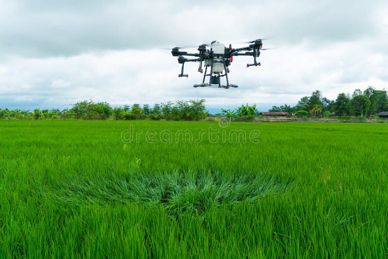
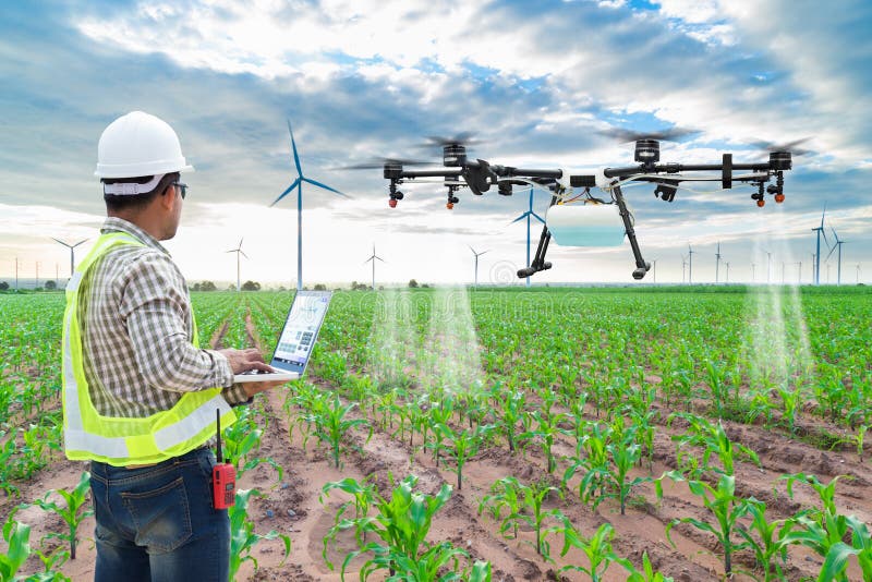
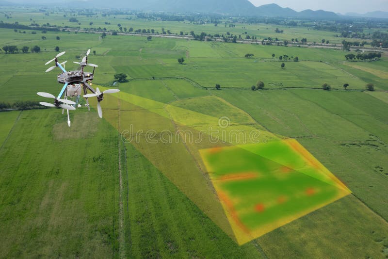
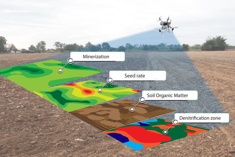
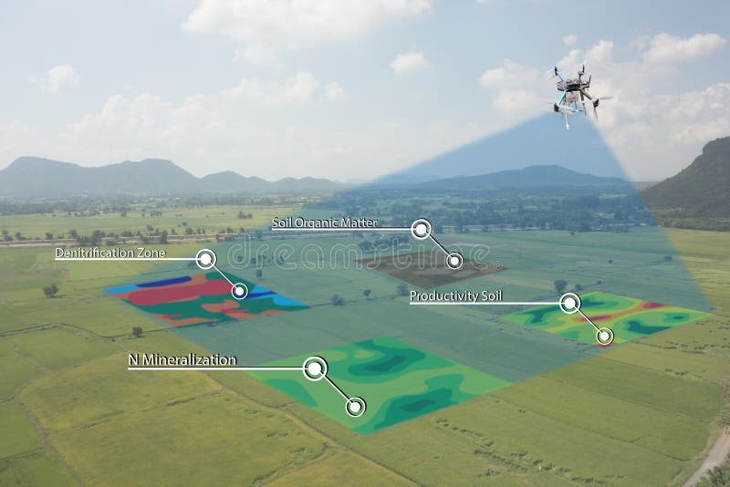
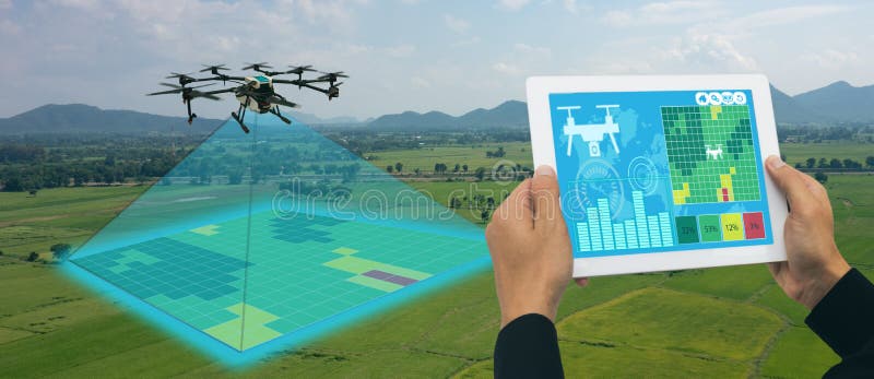
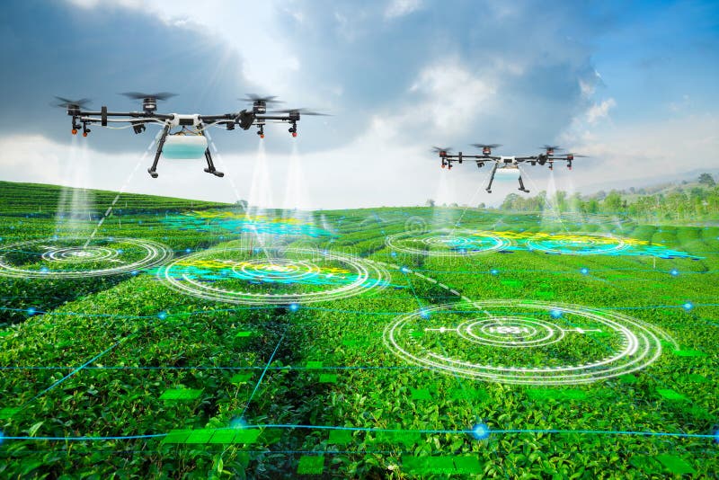
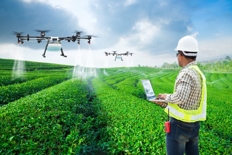
An agricultural drone is an unmanned aerial vehicle used in agriculture operations mostly in yield optimization and in monitoring crop growth and crop production. The aerial view provided by a drone can assists in the information of crop growth stages, crop health and soil variations in real time helping in any mitigation if required. Multispectral sensors can collect image in near-infrared as well as in visible spectrum of the electromagnetic spectrum.
圖片編號:
230052220
拍攝者:
Kumpols
點數下載
| 授權類型 | 尺寸 | 像素 | 格式 | 點數 | |
|---|---|---|---|---|---|
| 標準授權 | XS | 480 x 320 | JPG | 13 | |
| 標準授權 | S | 800 x 534 | JPG | 15 | |
| 標準授權 | M | 2120 x 1414 | JPG | 18 | |
| 標準授權 | L | 2737 x 1826 | JPG | 20 | |
| 標準授權 | XL | 3463 x 2309 | JPG | 22 | |
| 標準授權 | MAX | 7952 x 5304 | JPG | 23 | |
| 標準授權 | TIFF | 11246 x 7501 | TIF | 39 | |
| 進階授權 | WEL | 7952 x 5304 | JPG | 88 | |
| 進階授權 | PEL | 7952 x 5304 | JPG | 88 | |
| 進階授權 | UEL | 7952 x 5304 | JPG | 88 |
XS
S
M
L
XL
MAX
TIFF
WEL
PEL
UEL
| 標準授權 | 480 x 320 px | JPG | 13 點 |
| 標準授權 | 800 x 534 px | JPG | 15 點 |
| 標準授權 | 2120 x 1414 px | JPG | 18 點 |
| 標準授權 | 2737 x 1826 px | JPG | 20 點 |
| 標準授權 | 3463 x 2309 px | JPG | 22 點 |
| 標準授權 | 7952 x 5304 px | JPG | 23 點 |
| 標準授權 | 11246 x 7501 px | TIF | 39 點 |
| 進階授權 | 7952 x 5304 px | JPG | 88 點 |
| 進階授權 | 7952 x 5304 px | JPG | 88 點 |
| 進階授權 | 7952 x 5304 px | JPG | 88 點 |









 +886-2-8978-1616
 +886-2-2078-5115


