


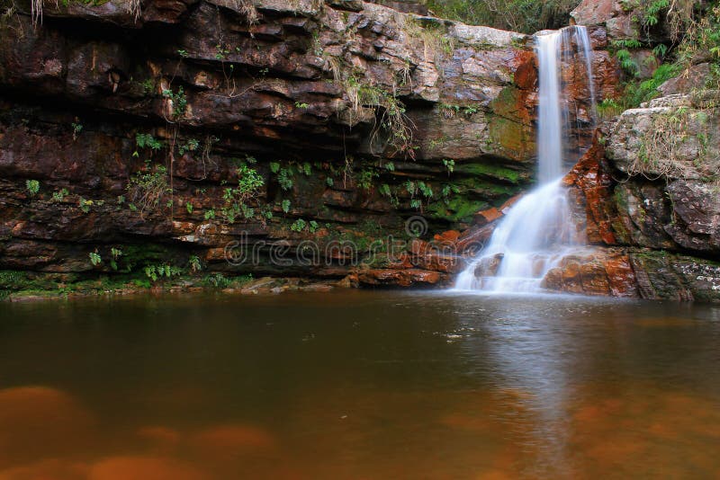
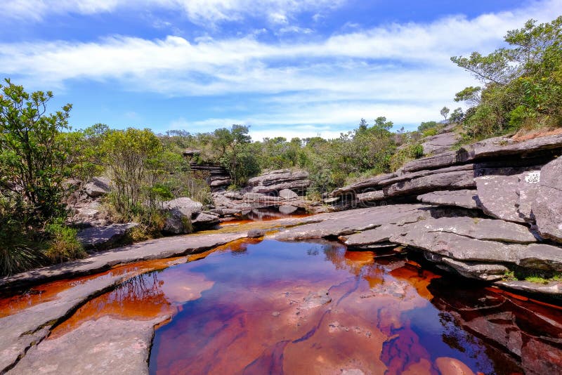
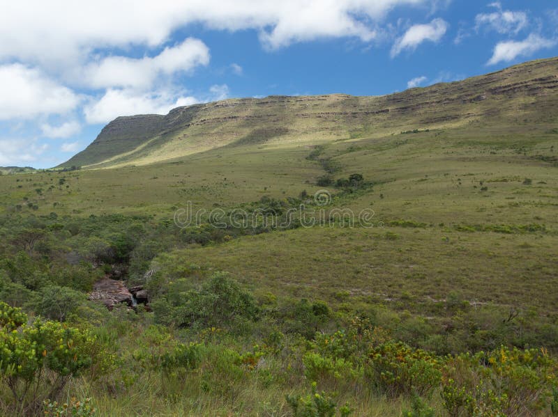
The Chapada Diamantina lies at the center of Bahia State and forms the northern part of the Espinhaço Mountain Range. It has approximately 38,000 km2 15,000 sq mi and encompasses 58 municipalities. Technically this region is considered a part of the caatinga biome, and contains some of its highest elevations, most of it above 500 metres 1,600 ft. The vegetation; a product of the physiographic conditions, is known as cerrado, and consists of rocky plains, dry forests, and caatinga desert vegetation, all of which harbour a great deal of biodiversity and unique endemisms.
圖片編號:
233171206
拍攝者:
Flavioguarana
點數下載
| 授權類型 | 尺寸 | 像素 | 格式 | 點數 | |
|---|---|---|---|---|---|
| 標準授權 | XS | 480 x 319 | JPG | 13 | |
| 標準授權 | S | 800 x 531 | JPG | 15 | |
| 標準授權 | M | 2125 x 1411 | JPG | 18 | |
| 標準授權 | L | 3216 x 2136 | JPG | 20 | |
| 標準授權 | XL | 3470 x 2305 | JPG | 22 | |
| 標準授權 | MAX | 4250 x 2823 | JPG | 23 | |
| 標準授權 | TIFF | 4548 x 3021 | TIF | 39 | |
| 進階授權 | UEL | 4250 x 2823 | JPG | 88 |
XS
S
M
L
XL
MAX
TIFF
UEL
| 標準授權 | 480 x 319 px | JPG | 13 點 |
| 標準授權 | 800 x 531 px | JPG | 15 點 |
| 標準授權 | 2125 x 1411 px | JPG | 18 點 |
| 標準授權 | 3216 x 2136 px | JPG | 20 點 |
| 標準授權 | 3470 x 2305 px | JPG | 22 點 |
| 標準授權 | 4250 x 2823 px | JPG | 23 點 |
| 標準授權 | 4548 x 3021 px | TIF | 39 點 |
| 進階授權 | 4250 x 2823 px | JPG | 88 點 |


 +886-2-8978-1616
 +886-2-2078-5115


