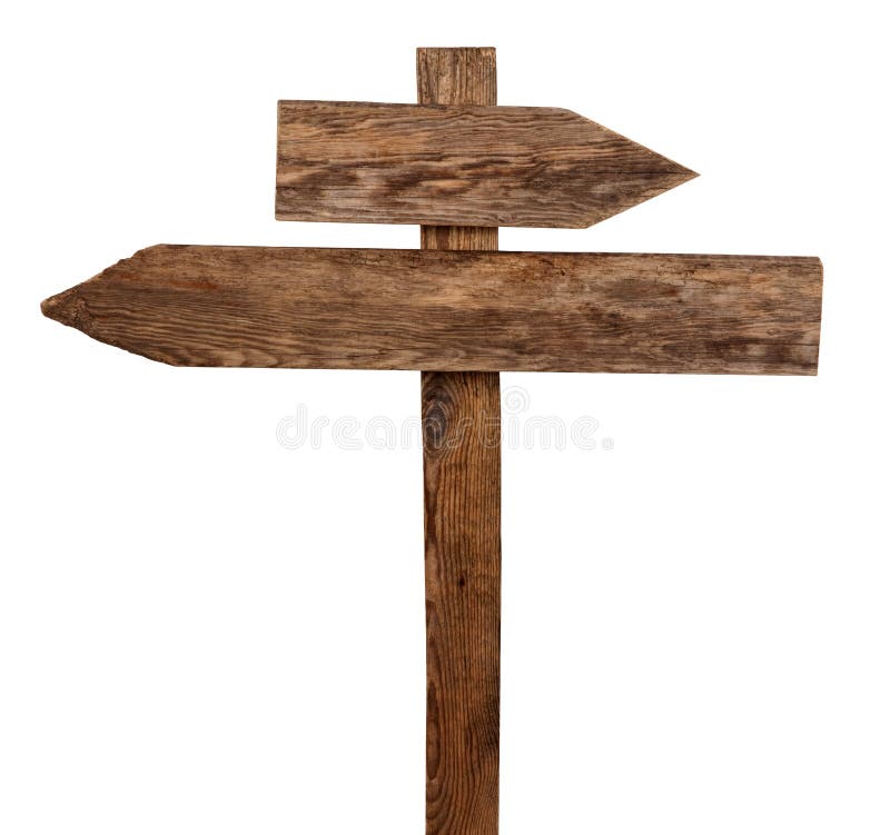
Road sign along hiking trail at Rhodope Mountains meadow to Bekov rocks observation deck.Rhodopes are a mountain range in Southeastern Europe, with over 83% of its area in southern Bulgaria and the remainder in Greece. Golyam Perelik is its highest peak at 2,191 meters . The mountain range gives its name to the terrestrial ecoregion Rodope montane mixed forests that belongs in the temperate broadleaf and mixed forests biome and the Palearctic realm.Ravnogor is a village in Southern Bulgaria. Immediately above the village rises Mount St. Nedelya.Bulgaria
圖片編號:
234516179
拍攝者:
Annahristova
點數下載
| 授權類型 | 尺寸 | 像素 | 格式 | 點數 | |
|---|---|---|---|---|---|
| 標準授權 | XS | 480 x 320 | JPG | 13 | |
| 標準授權 | S | 800 x 533 | JPG | 15 | |
| 標準授權 | M | 2121 x 1414 | JPG | 18 | |
| 標準授權 | L | 2738 x 1825 | JPG | 20 | |
| 標準授權 | XL | 3464 x 2309 | JPG | 22 | |
| 標準授權 | MAX | 5472 x 3648 | JPG | 23 | |
| 標準授權 | TIFF | 7739 x 5159 | TIF | 39 | |
| 進階授權 | WEL | 5472 x 3648 | JPG | 88 | |
| 進階授權 | PEL | 5472 x 3648 | JPG | 88 | |
| 進階授權 | UEL | 5472 x 3648 | JPG | 88 |
XS
S
M
L
XL
MAX
TIFF
WEL
PEL
UEL
| 標準授權 | 480 x 320 px | JPG | 13 點 |
| 標準授權 | 800 x 533 px | JPG | 15 點 |
| 標準授權 | 2121 x 1414 px | JPG | 18 點 |
| 標準授權 | 2738 x 1825 px | JPG | 20 點 |
| 標準授權 | 3464 x 2309 px | JPG | 22 點 |
| 標準授權 | 5472 x 3648 px | JPG | 23 點 |
| 標準授權 | 7739 x 5159 px | TIF | 39 點 |
| 進階授權 | 5472 x 3648 px | JPG | 88 點 |
| 進階授權 | 5472 x 3648 px | JPG | 88 點 |
| 進階授權 | 5472 x 3648 px | JPG | 88 點 |


 +886-2-8978-1616
 +886-2-2078-5115


