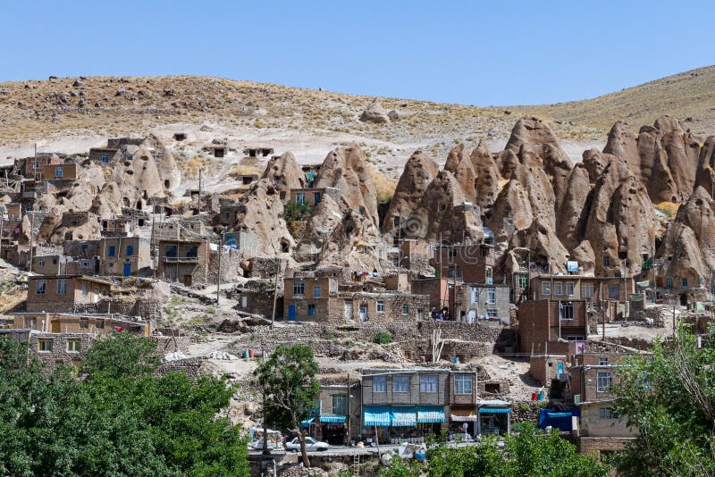
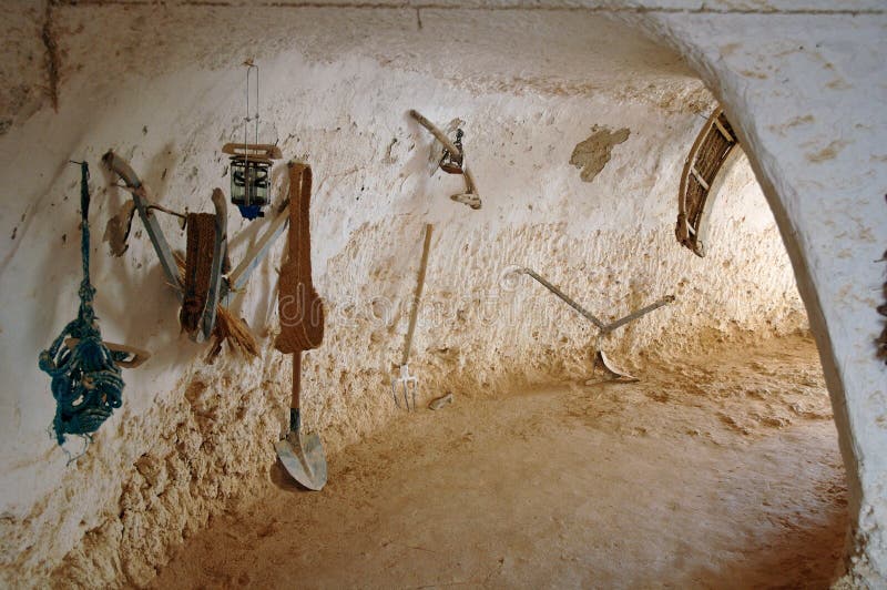
The Kandovan landscape is characterized by cone-shaped rock formations produced by the eruption of Mount Sahand approximately 11,000 years ago. The place has been inhabited for 700 years, where the population hid during persecutions by the Mughal army, taking advantage of natural caves that have been expanded as the needs of families grow. Currently most of the houses have a part inside the rock and another part outside
圖片編號:
235366447
拍攝者:
Txarofranco
點數下載
| 授權類型 | 尺寸 | 像素 | 格式 | 點數 | |
|---|---|---|---|---|---|
| 標準授權 | XS | 480 x 320 | JPG | 13 | |
| 標準授權 | S | 800 x 533 | JPG | 15 | |
| 標準授權 | M | 2121 x 1414 | JPG | 18 | |
| 標準授權 | L | 2738 x 1825 | JPG | 20 | |
| 標準授權 | XL | 3463 x 2309 | JPG | 22 | |
| 標準授權 | MAX | 4411 x 2941 | JPG | 23 | |
| 標準授權 | ADD | Vector | AI | 38 | |
| 標準授權 | TIFF | 6238 x 4159 | TIF | 39 | |
| 進階授權 | WEL | 4411 x 2941 | JPG | 88 | |
| 進階授權 | PEL | 4411 x 2941 | JPG | 88 | |
| 進階授權 | UEL | 4411 x 2941 | JPG | 88 |
XS
S
M
L
XL
MAX
ADD
TIFF
WEL
PEL
UEL
| 標準授權 | 480 x 320 px | JPG | 13 點 |
| 標準授權 | 800 x 533 px | JPG | 15 點 |
| 標準授權 | 2121 x 1414 px | JPG | 18 點 |
| 標準授權 | 2738 x 1825 px | JPG | 20 點 |
| 標準授權 | 3463 x 2309 px | JPG | 22 點 |
| 標準授權 | 4411 x 2941 px | JPG | 23 點 |
| 標準授權 | Vector px | AI | 38 點 |
| 標準授權 | 6238 x 4159 px | TIF | 39 點 |
| 進階授權 | 4411 x 2941 px | JPG | 88 點 |
| 進階授權 | 4411 x 2941 px | JPG | 88 點 |
| 進階授權 | 4411 x 2941 px | JPG | 88 點 |


 +886-2-8978-1616
 +886-2-2078-5115


