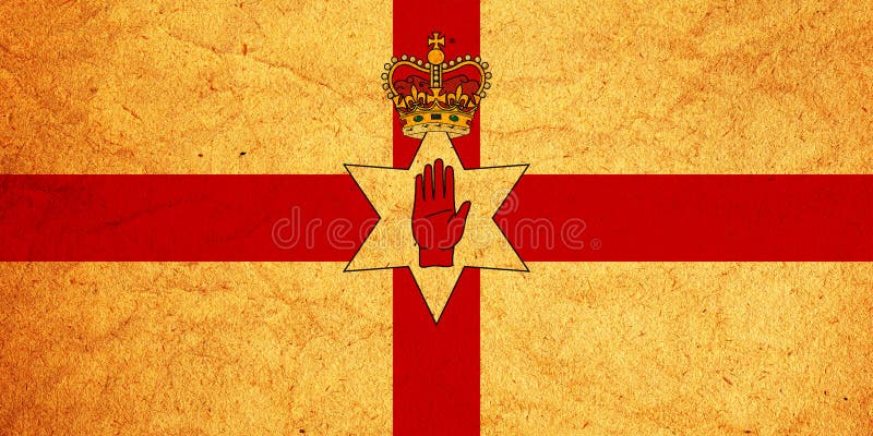
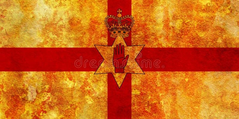
Ulster, Ireland - Map of the northern province of Ireland, and the area placed under the Northern Parliament by the Government of Ireland Act of 1920. Ulster is one of the four traditional Irish provinces, in the north of Ireland. It is made up of nine counties: six of these constitute Northern Ireland; the remaining three are in the Republic of Ireland.
圖片編號:
235368639
拍攝者:
Mjb6661
點數下載
| 授權類型 | 尺寸 | 像素 | 格式 | 點數 | |
|---|---|---|---|---|---|
| 標準授權 | XS | 480 x 405 | JPG | 13 | |
| 標準授權 | S | 800 x 675 | JPG | 15 | |
| 標準授權 | M | 2094 x 1767 | JPG | 18 | |
| 標準授權 | L | 2434 x 2054 | JPG | 20 | |
| 標準授權 | XL | 3079 x 2598 | JPG | 22 | |
| 標準授權 | MAX | 3771 x 3182 | JPG | 23 | |
| 標準授權 | TIFF | 2961 x 2499 | TIF | 39 | |
| 進階授權 | UEL | 3771 x 3182 | JPG | 88 |
XS
S
M
L
XL
MAX
TIFF
UEL
| 標準授權 | 480 x 405 px | JPG | 13 點 |
| 標準授權 | 800 x 675 px | JPG | 15 點 |
| 標準授權 | 2094 x 1767 px | JPG | 18 點 |
| 標準授權 | 2434 x 2054 px | JPG | 20 點 |
| 標準授權 | 3079 x 2598 px | JPG | 22 點 |
| 標準授權 | 3771 x 3182 px | JPG | 23 點 |
| 標準授權 | 2961 x 2499 px | TIF | 39 點 |
| 進階授權 | 3771 x 3182 px | JPG | 88 點 |


 +886-2-8978-1616
 +886-2-2078-5115


