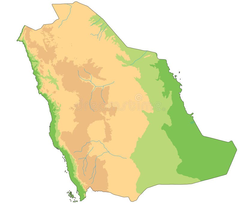
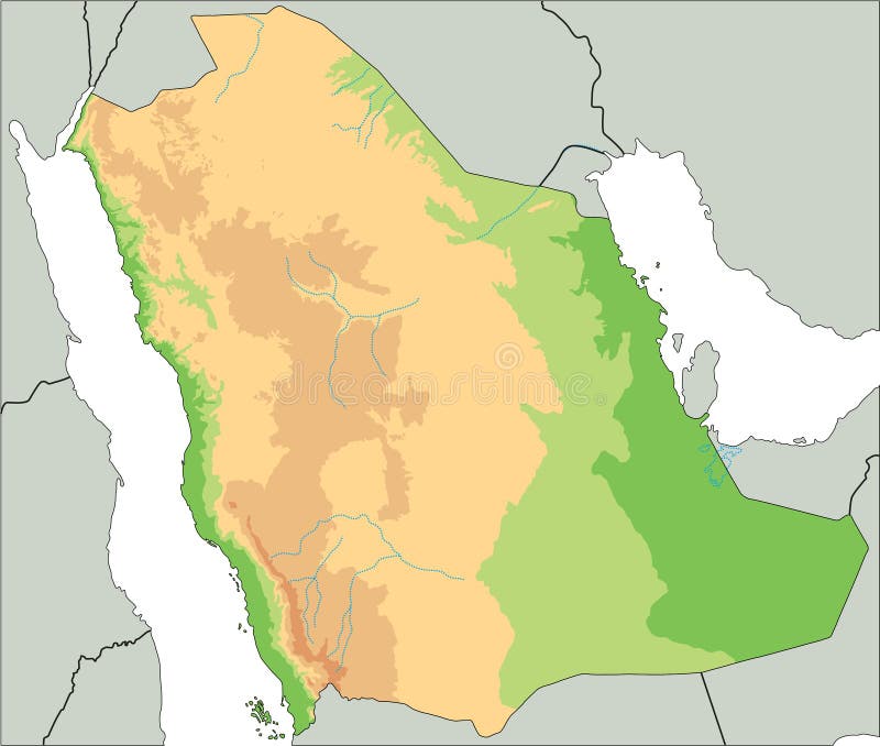
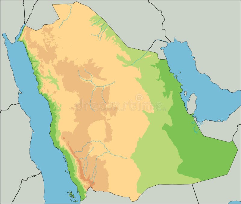
A physical map of the greater region of Arabia without borders or country names. It's product of 10+ years mapmaking practice made in Germany. The details and colors are superb and it looks pseudo three dimensional. The format of the map according to ISO 216 standard is A series, means it's usable as DIN A4, A3, A2 format and so on.
圖片編號:
237273457
拍攝者:
Antarktisverlag
點數下載
| 授權類型 | 尺寸 | 像素 | 格式 | 點數 | |
|---|---|---|---|---|---|
| 標準授權 | XS | 358 x 480 | JPG | 13 | |
| 標準授權 | S | 596 x 800 | JPG | 15 | |
| 標準授權 | M | 1494 x 2006 | JPG | 18 | |
| 標準授權 | L | 1929 x 2590 | JPG | 20 | |
| 標準授權 | XL | 2650 x 3558 | JPG | 22 | |
| 標準授權 | MAX | 2989 x 4013 | JPG | 23 | |
| 標準授權 | TIFF | 3748 x 5032 | TIF | 39 | |
| 進階授權 | WEL | 2989 x 4013 | JPG | 88 | |
| 進階授權 | PEL | 2989 x 4013 | JPG | 88 | |
| 進階授權 | UEL | 2989 x 4013 | JPG | 88 |
XS
S
M
L
XL
MAX
TIFF
WEL
PEL
UEL
| 標準授權 | 358 x 480 px | JPG | 13 點 |
| 標準授權 | 596 x 800 px | JPG | 15 點 |
| 標準授權 | 1494 x 2006 px | JPG | 18 點 |
| 標準授權 | 1929 x 2590 px | JPG | 20 點 |
| 標準授權 | 2650 x 3558 px | JPG | 22 點 |
| 標準授權 | 2989 x 4013 px | JPG | 23 點 |
| 標準授權 | 3748 x 5032 px | TIF | 39 點 |
| 進階授權 | 2989 x 4013 px | JPG | 88 點 |
| 進階授權 | 2989 x 4013 px | JPG | 88 點 |
| 進階授權 | 2989 x 4013 px | JPG | 88 點 |


 +886-2-8978-1616
 +886-2-2078-5115


