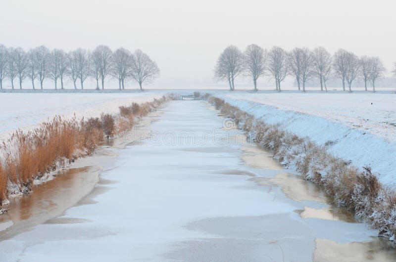
Kamchia River near the village of Salmanovo is a picturesque place where it is pleasant to walk and fish river Skubar.
The Kamchia River is formed by the confluence of the rivers Golyama Kamchia left component and Luda Kamchia right component at 26 m above sea level, to the southwest corner of the village of Velichkovo, Dulgopol municipality. It flows in an easterly direction in a wide valley between the Avren Momino plateau to the north and the Kamchiyska mountain to the south. The border between the Danube plain and the Fore-Balkans runs along its valley. The estuaries of the valley are swampy and overgrown with forests. It flows into the Black Sea at the Kamchia resort.
圖片編號:
237440085
拍攝者:
Flygallery
點數下載
| 授權類型 | 尺寸 | 像素 | 格式 | 點數 | |
|---|---|---|---|---|---|
| 標準授權 | XS | 480 x 320 | JPG | 13 | |
| 標準授權 | S | 800 x 533 | JPG | 15 | |
| 標準授權 | M | 2121 x 1414 | JPG | 18 | |
| 標準授權 | L | 2738 x 1825 | JPG | 20 | |
| 標準授權 | XL | 3464 x 2309 | JPG | 22 | |
| 標準授權 | MAX | 6000 x 4000 | JPG | 23 | |
| 標準授權 | TIFF | 8485 x 5657 | TIF | 39 | |
| 進階授權 | WEL | 6000 x 4000 | JPG | 88 | |
| 進階授權 | PEL | 6000 x 4000 | JPG | 88 | |
| 進階授權 | UEL | 6000 x 4000 | JPG | 88 |
XS
S
M
L
XL
MAX
TIFF
WEL
PEL
UEL
| 標準授權 | 480 x 320 px | JPG | 13 點 |
| 標準授權 | 800 x 533 px | JPG | 15 點 |
| 標準授權 | 2121 x 1414 px | JPG | 18 點 |
| 標準授權 | 2738 x 1825 px | JPG | 20 點 |
| 標準授權 | 3464 x 2309 px | JPG | 22 點 |
| 標準授權 | 6000 x 4000 px | JPG | 23 點 |
| 標準授權 | 8485 x 5657 px | TIF | 39 點 |
| 進階授權 | 6000 x 4000 px | JPG | 88 點 |
| 進階授權 | 6000 x 4000 px | JPG | 88 點 |
| 進階授權 | 6000 x 4000 px | JPG | 88 點 |







 +886-2-8978-1616
 +886-2-2078-5115


