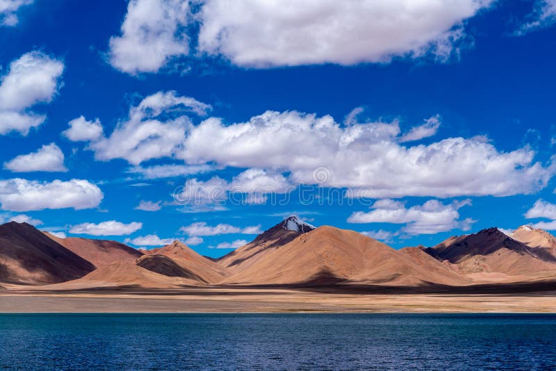
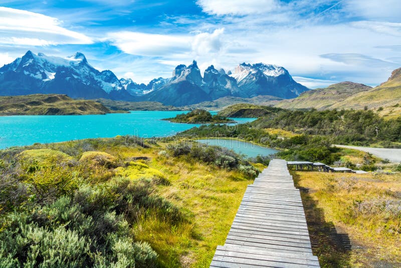
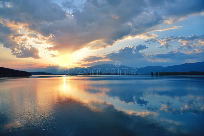
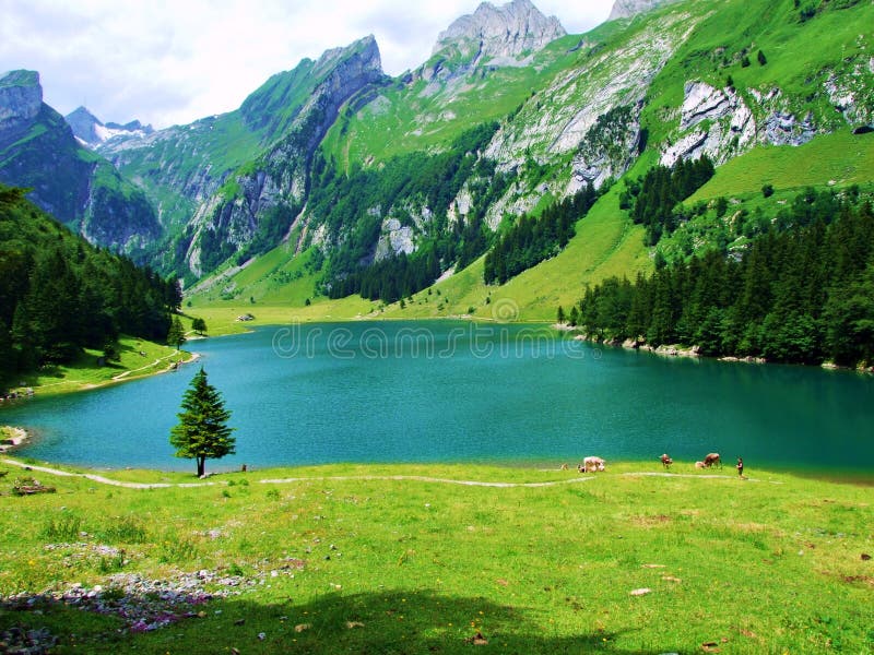
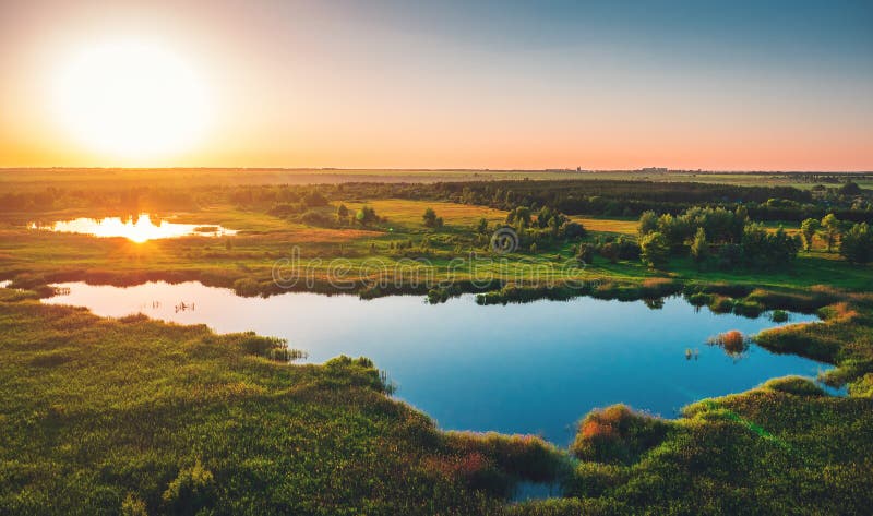
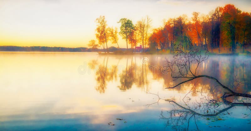
Beautiful lake landscape in Ngari. Ngari Region is an area under the jurisdiction of the Tibet Autonomous Region of the People`s Republic of China, located in the core of the Changtang Plateau in the northern part of the Qinghai-Tibet Plateau It is one of the least densely populated areas in the world, with a unique plateau natural features. The land area is 337,174.95 square kilometers. The Regional Administrative Office is located in Shiquanhe Town, Gar County. Yuan Dynasty called Nari, Ming Dynasty called Oris. Ali is the place where the Himalayas, Gangdise Mountains and other mountains meet, and is called `the ancestor of all mountains`. At the same time, it is also the birthplace of the Brahmaputra, Indus and Ganges, so it is also called `the source of hundreds of rivers`.The paved Xinjiang-Tibet Highway 219 passes through this area. The average altitude is above 4,500 meters.The environment is harsh, barren, hard.
圖片編號:
245292835
拍攝者:
Lizlee
點數下載
| 授權類型 | 尺寸 | 像素 | 格式 | 點數 | |
|---|---|---|---|---|---|
| 標準授權 | XS | 480 x 320 | JPG | 13 | |
| 標準授權 | S | 800 x 534 | JPG | 15 | |
| 標準授權 | M | 2120 x 1414 | JPG | 18 | |
| 標準授權 | L | 2737 x 1826 | JPG | 20 | |
| 標準授權 | XL | 3463 x 2310 | JPG | 22 | |
| 標準授權 | MAX | 7857 x 5241 | JPG | 23 | |
| 標準授權 | TIFF | 11111 x 7412 | TIF | 39 | |
| 進階授權 | WEL | 7857 x 5241 | JPG | 88 | |
| 進階授權 | PEL | 7857 x 5241 | JPG | 88 | |
| 進階授權 | UEL | 7857 x 5241 | JPG | 88 |
XS
S
M
L
XL
MAX
TIFF
WEL
PEL
UEL
| 標準授權 | 480 x 320 px | JPG | 13 點 |
| 標準授權 | 800 x 534 px | JPG | 15 點 |
| 標準授權 | 2120 x 1414 px | JPG | 18 點 |
| 標準授權 | 2737 x 1826 px | JPG | 20 點 |
| 標準授權 | 3463 x 2310 px | JPG | 22 點 |
| 標準授權 | 7857 x 5241 px | JPG | 23 點 |
| 標準授權 | 11111 x 7412 px | TIF | 39 點 |
| 進階授權 | 7857 x 5241 px | JPG | 88 點 |
| 進階授權 | 7857 x 5241 px | JPG | 88 點 |
| 進階授權 | 7857 x 5241 px | JPG | 88 點 |






 +886-2-8978-1616
 +886-2-2078-5115


