


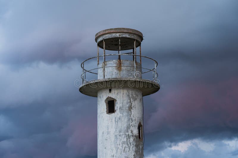
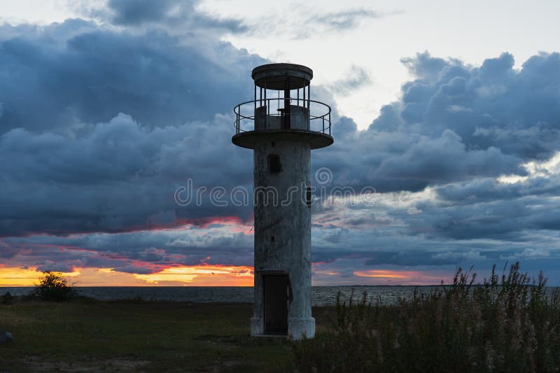
Abandoned Uitru leg lighthouse Ihasalu day mark at the top of the Ihasalu peninsula.
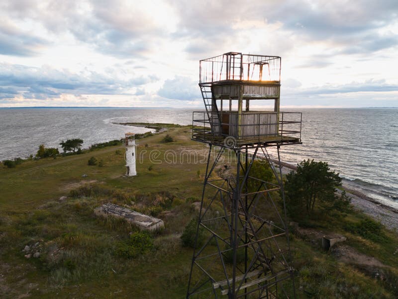
The top of the Ihasalu peninsula and the leg of Uitru on an aerial photo.
Ihasalu peninsula is a peninsula in Jõelähtme municipality, Harju county, between Ihasalu and Kaberneeme bay.
The peninsula is more than 5 km long and up to 2 km wide, a part of the coastal lowland of Northern Estonia extending to the northwest. The peninsula with a predominantly sandy surface is mostly covered by beach sand and forest.
The Ihasalu peninsula started emerging from the sea as an island about 3500 years ago. This island joined the mainland and formed a peninsula two thousand years later, between the 3rd and 5th centuries. century. The peninsula is mostly flat, sometimes with a steep beach.The peninsula ends with Uitru leg.
圖片編號:
254702282
拍攝者:
TarPhotography
點數下載
| 授權類型 | 尺寸 | 像素 | 格式 | 點數 | |
|---|---|---|---|---|---|
| 標準授權 | XS | 480 x 320 | JPG | 13 | |
| 標準授權 | S | 800 x 534 | JPG | 15 | |
| 標準授權 | M | 2119 x 1415 | JPG | 18 | |
| 標準授權 | L | 2736 x 1827 | JPG | 20 | |
| 標準授權 | XL | 3461 x 2311 | JPG | 22 | |
| 標準授權 | MAX | 5746 x 3836 | JPG | 23 | |
| 標準授權 | TIFF | 8126 x 5425 | TIF | 39 | |
| 進階授權 | WEL | 5746 x 3836 | JPG | 88 | |
| 進階授權 | PEL | 5746 x 3836 | JPG | 88 | |
| 進階授權 | UEL | 5746 x 3836 | JPG | 88 |
XS
S
M
L
XL
MAX
TIFF
WEL
PEL
UEL
| 標準授權 | 480 x 320 px | JPG | 13 點 |
| 標準授權 | 800 x 534 px | JPG | 15 點 |
| 標準授權 | 2119 x 1415 px | JPG | 18 點 |
| 標準授權 | 2736 x 1827 px | JPG | 20 點 |
| 標準授權 | 3461 x 2311 px | JPG | 22 點 |
| 標準授權 | 5746 x 3836 px | JPG | 23 點 |
| 標準授權 | 8126 x 5425 px | TIF | 39 點 |
| 進階授權 | 5746 x 3836 px | JPG | 88 點 |
| 進階授權 | 5746 x 3836 px | JPG | 88 點 |
| 進階授權 | 5746 x 3836 px | JPG | 88 點 |


 +886-2-8978-1616
 +886-2-2078-5115


