


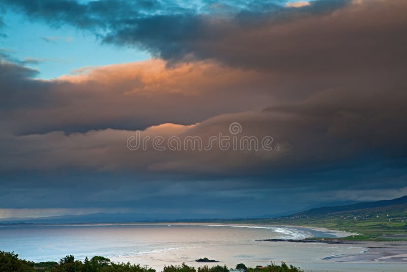
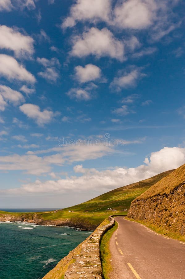
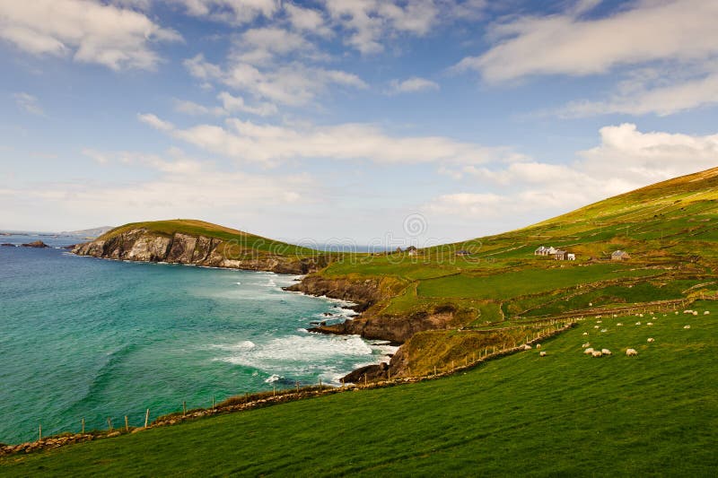
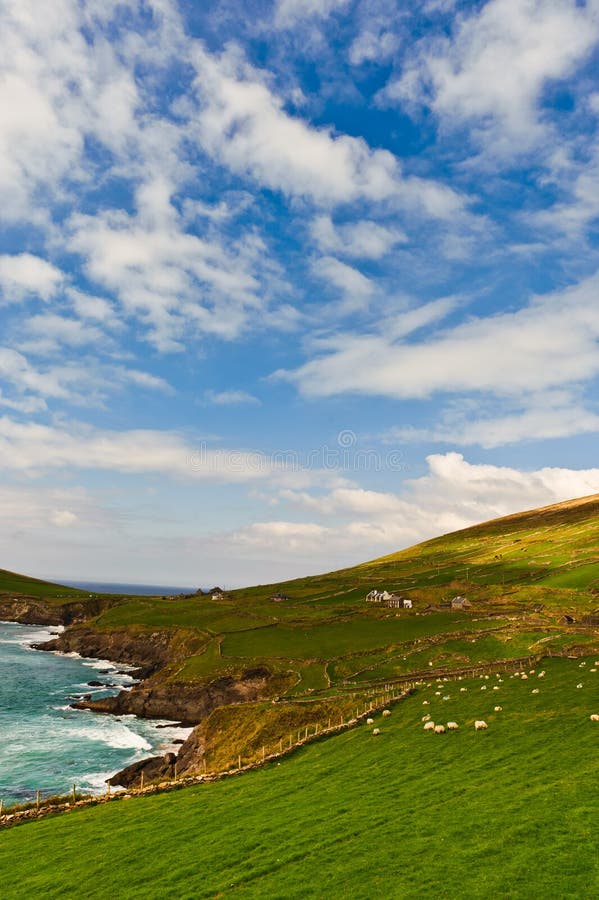
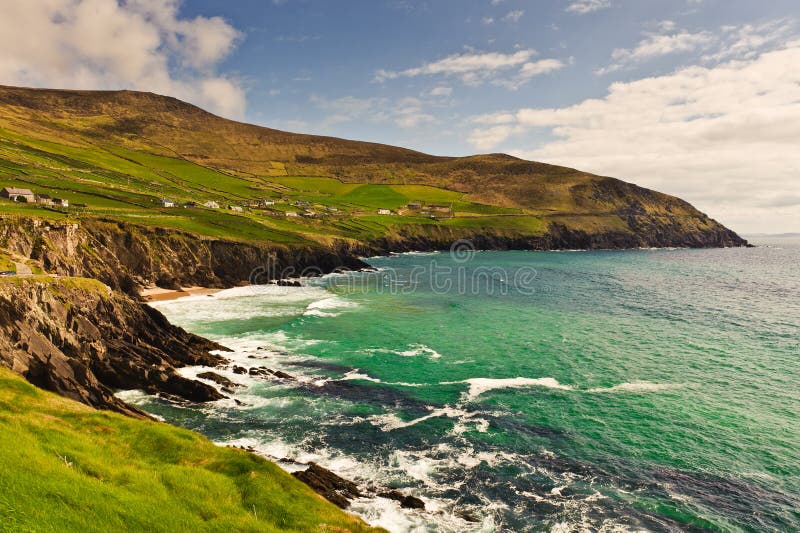
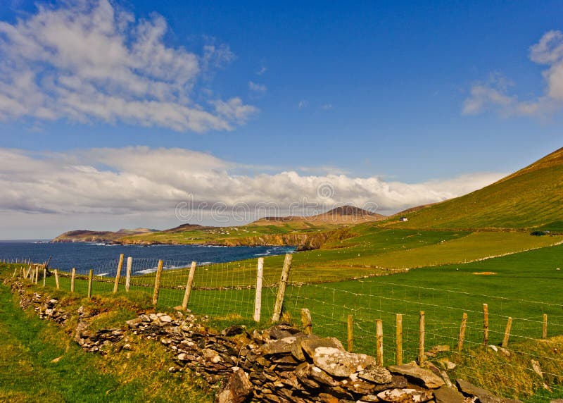
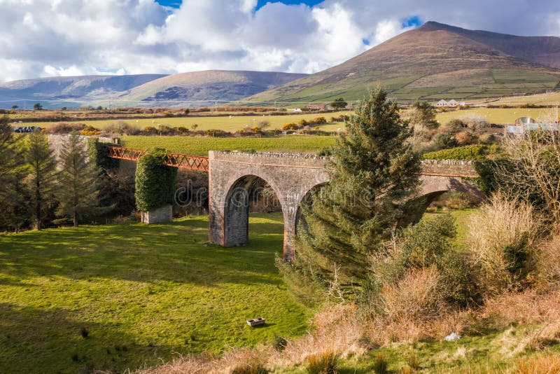
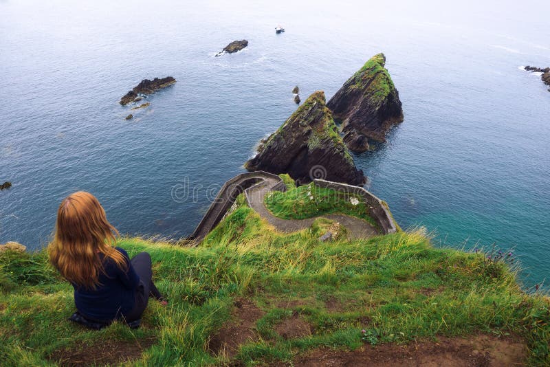
The Dingle Peninsula or Corca Dhuibhne, stretches 30 miles into the Atlantic Ocean on the south-west coast on Irelandâs Wild Atlantic Way. The peninsula is dominated by the range of mountains that form its spine, running from the Slieve Mish range to the Conor Pass and Mount Brandon, Irelandâs second highest peak. The magnificent coastline consists of steep sea-cliffs such as Slea Head, dramatic headlands broken by sandy beaches, with the award-winning beach at Inch in the south and the tombolo of Maharees to the north. The Blasket Islands lie to the west and the peninsula is dotted with lovely villages that each offer their own unique Sense of Place.
圖片編號:
258254489
拍攝者:
Fatema7864
點數下載
| 授權類型 | 尺寸 | 像素 | 格式 | 點數 | |
|---|---|---|---|---|---|
| 標準授權 | XS | 320 x 480 | JPG | 13 | |
| 標準授權 | S | 533 x 800 | JPG | 15 | |
| 標準授權 | M | 1414 x 2121 | JPG | 18 | |
| 標準授權 | L | 1825 x 2738 | JPG | 20 | |
| 標準授權 | XL | 2309 x 3464 | JPG | 22 | |
| 標準授權 | MAX | 4000 x 6000 | JPG | 23 | |
| 標準授權 | TIFF | 5657 x 8485 | TIF | 39 | |
| 進階授權 | WEL | 4000 x 6000 | JPG | 88 | |
| 進階授權 | PEL | 4000 x 6000 | JPG | 88 | |
| 進階授權 | UEL | 4000 x 6000 | JPG | 88 |
XS
S
M
L
XL
MAX
TIFF
WEL
PEL
UEL
| 標準授權 | 320 x 480 px | JPG | 13 點 |
| 標準授權 | 533 x 800 px | JPG | 15 點 |
| 標準授權 | 1414 x 2121 px | JPG | 18 點 |
| 標準授權 | 1825 x 2738 px | JPG | 20 點 |
| 標準授權 | 2309 x 3464 px | JPG | 22 點 |
| 標準授權 | 4000 x 6000 px | JPG | 23 點 |
| 標準授權 | 5657 x 8485 px | TIF | 39 點 |
| 進階授權 | 4000 x 6000 px | JPG | 88 點 |
| 進階授權 | 4000 x 6000 px | JPG | 88 點 |
| 進階授權 | 4000 x 6000 px | JPG | 88 點 |


 +886-2-8978-1616
 +886-2-2078-5115


