


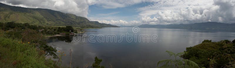
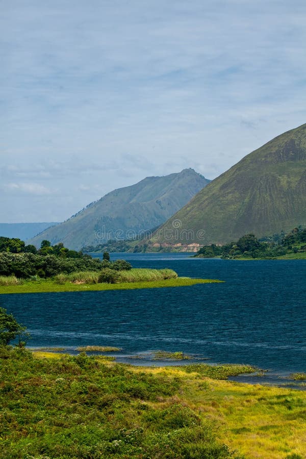
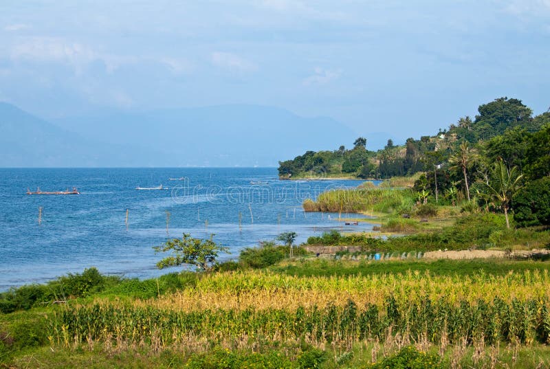
Lake Toba was formed from three major eruptions of Mount Toba. The first eruption produced a caldera on the south side, the second eruption formed a caldera on the north side, the third, the largest eruption, turned Mount Toba into Lake Toba. The cool thing is, UNESCO itself has designated the Toba caldera as a Global Geopark or a world heritage.Lake Toba is so big with an island in the middle, named Pulau Samosir. The size of Samosir Island is 630 km², which is almost the size of Singapore which is 728 km². Samosir Island itself has two lakes namely Lake Sidihoni and Lake Aek Natonang.The position of Lake Toba which is located 900 meters above sea level, makes the atmosphere around the lake cooler. Apart from that, its beauty can also be seen from the role of Lake Toba which is also home to two ethnic groups, namely Tomok and Simanindo. There is a world-class weaving center as well as a center for handicrafts, namely the Huta Raja area, Lumban Suhi-Suhi Village, Samosir.
圖片編號:
282780187
拍攝者:
Anjadarmawan07
點數下載
| 授權類型 | 尺寸 | 像素 | 格式 | 點數 | |
|---|---|---|---|---|---|
| 標準授權 | XS | 480 x 360 | JPG | 13 | |
| 標準授權 | S | 800 x 600 | JPG | 15 | |
| 標準授權 | M | 2000 x 1500 | JPG | 18 | |
| 標準授權 | L | 2560 x 1920 | JPG | 20 | |
| 標準授權 | XL | 3265 x 2449 | JPG | 22 | |
| 標準授權 | MAX | 4000 x 3000 | JPG | 23 | |
| 標準授權 | TIFF | 3620 x 2715 | TIF | 39 | |
| 進階授權 | WEL | 4000 x 3000 | JPG | 88 | |
| 進階授權 | PEL | 4000 x 3000 | JPG | 88 | |
| 進階授權 | UEL | 4000 x 3000 | JPG | 88 |
XS
S
M
L
XL
MAX
TIFF
WEL
PEL
UEL
| 標準授權 | 480 x 360 px | JPG | 13 點 |
| 標準授權 | 800 x 600 px | JPG | 15 點 |
| 標準授權 | 2000 x 1500 px | JPG | 18 點 |
| 標準授權 | 2560 x 1920 px | JPG | 20 點 |
| 標準授權 | 3265 x 2449 px | JPG | 22 點 |
| 標準授權 | 4000 x 3000 px | JPG | 23 點 |
| 標準授權 | 3620 x 2715 px | TIF | 39 點 |
| 進階授權 | 4000 x 3000 px | JPG | 88 點 |
| 進階授權 | 4000 x 3000 px | JPG | 88 點 |
| 進階授權 | 4000 x 3000 px | JPG | 88 點 |


 +886-2-8978-1616
 +886-2-2078-5115


