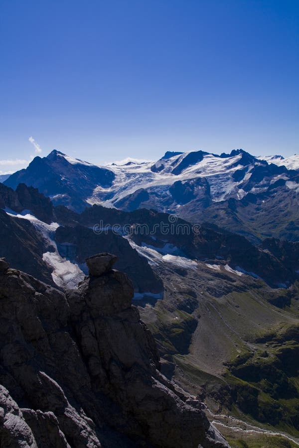
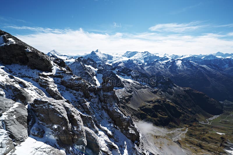
Engelberg is situated within the Uri Alps mountain range.Engelberg is surrounded by major mountain summits, such as Titlis in the south (3,238 metres (10,623 ft)) above sea level), the Walenstöcke (2,572 metres (8,438 ft)) and Ruchstock (2,813 metres (9,229 ft)) to the north, Hahnen (2,606 metres (8,550 ft)) and Wissberg (2,627 metres (8,619 ft)) to the east, the Engelberger Rotstock (2,819 metres (9,249 ft)) and the Wissigstock (2,887 metres (9,472 ft)) to the northeast, and the upper valley of the Engelberger Aa leading to the Surenen Pass (2,291 metres (7,516 ft)) leading to the Urner ReusstalTitlis is a mountain of the Uri Alps, located on the border between the cantons of Obwalden and Bern. At 3,238 metres above sea level, it is the highest summit of the range north of the Susten Pass, between the Bernese Oberland and Central Switzerland.
圖片編號:
288695056
拍攝者:
Hoangninh2005
點數下載
| 授權類型 | 尺寸 | 像素 | 格式 | 點數 | |
|---|---|---|---|---|---|
| 標準授權 | XS | 480 x 320 | JPG | 13 | |
| 標準授權 | S | 800 x 533 | JPG | 15 | |
| 標準授權 | M | 2121 x 1414 | JPG | 18 | |
| 標準授權 | L | 2738 x 1825 | JPG | 20 | |
| 標準授權 | XL | 3464 x 2309 | JPG | 22 | |
| 標準授權 | MAX | 8256 x 5504 | JPG | 23 | |
| 標準授權 | TIFF | 11676 x 7784 | TIF | 39 | |
| 進階授權 | WEL | 8256 x 5504 | JPG | 88 | |
| 進階授權 | PEL | 8256 x 5504 | JPG | 88 | |
| 進階授權 | UEL | 8256 x 5504 | JPG | 88 |
XS
S
M
L
XL
MAX
TIFF
WEL
PEL
UEL
| 標準授權 | 480 x 320 px | JPG | 13 點 |
| 標準授權 | 800 x 533 px | JPG | 15 點 |
| 標準授權 | 2121 x 1414 px | JPG | 18 點 |
| 標準授權 | 2738 x 1825 px | JPG | 20 點 |
| 標準授權 | 3464 x 2309 px | JPG | 22 點 |
| 標準授權 | 8256 x 5504 px | JPG | 23 點 |
| 標準授權 | 11676 x 7784 px | TIF | 39 點 |
| 進階授權 | 8256 x 5504 px | JPG | 88 點 |
| 進階授權 | 8256 x 5504 px | JPG | 88 點 |
| 進階授權 | 8256 x 5504 px | JPG | 88 點 |


 +886-2-8978-1616
 +886-2-2078-5115


