


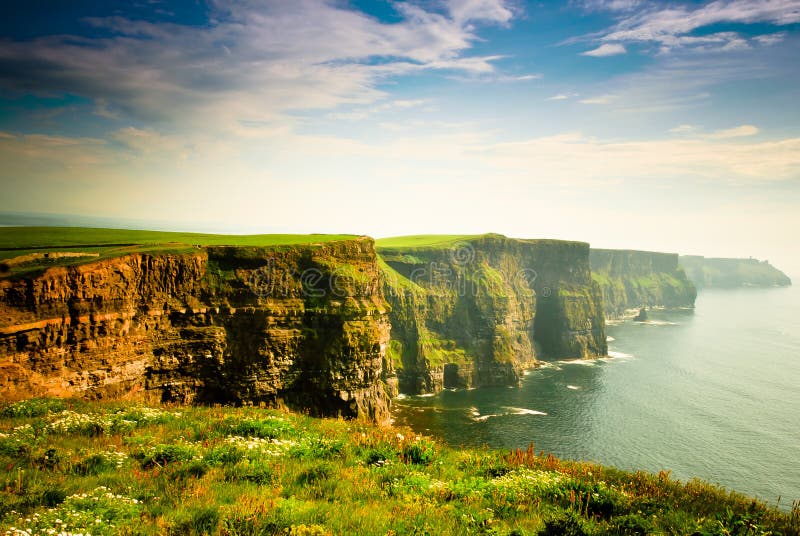
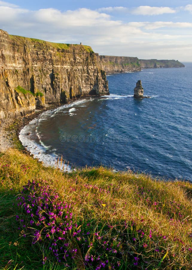
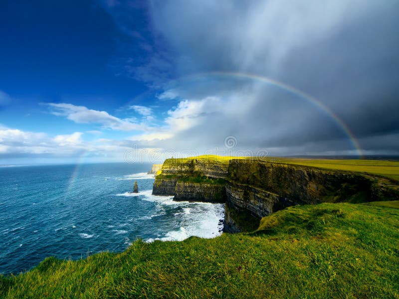
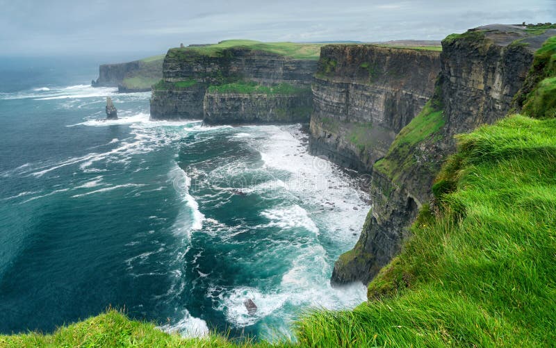
The Cliffs of Moher are sea cliffs located at the southwestern edge of the Burren region in County Clare, Ireland. They run for about 14 kilometres (9 miles). At their southern end, they rise 120 metres (390 ft) above the Atlantic Ocean at Hag's Head, and, 8 kilometres (5 miles) to the north, they reach their maximum height of 214 metres (702 ft) just north of O'Brien's Tower, a round stone tower near the midpoint of the cliffs, built in 1835 by Sir Cornelius O'Brien, then continue at lower heights. The closest settlements are the villages of Liscannor 6 km (4 miles) to the south, and Doolin 7 km (4 miles) to the north.
圖片編號:
291799671
拍攝者:
Debchephotography
點數下載
| 授權類型 | 尺寸 | 像素 | 格式 | 點數 | |
|---|---|---|---|---|---|
| 標準授權 | XS | 480 x 359 | JPG | 13 | |
| 標準授權 | S | 800 x 598 | JPG | 15 | |
| 標準授權 | M | 2002 x 1498 | JPG | 18 | |
| 標準授權 | L | 2585 x 1934 | JPG | 20 | |
| 標準授權 | XL | 3270 x 2446 | JPG | 22 | |
| 標準授權 | MAX | 4021 x 3008 | JPG | 23 | |
| 標準授權 | TIFF | 5687 x 4254 | TIF | 39 | |
| 進階授權 | WEL | 4021 x 3008 | JPG | 88 | |
| 進階授權 | PEL | 4021 x 3008 | JPG | 88 | |
| 進階授權 | UEL | 4021 x 3008 | JPG | 88 |
XS
S
M
L
XL
MAX
TIFF
WEL
PEL
UEL
| 標準授權 | 480 x 359 px | JPG | 13 點 |
| 標準授權 | 800 x 598 px | JPG | 15 點 |
| 標準授權 | 2002 x 1498 px | JPG | 18 點 |
| 標準授權 | 2585 x 1934 px | JPG | 20 點 |
| 標準授權 | 3270 x 2446 px | JPG | 22 點 |
| 標準授權 | 4021 x 3008 px | JPG | 23 點 |
| 標準授權 | 5687 x 4254 px | TIF | 39 點 |
| 進階授權 | 4021 x 3008 px | JPG | 88 點 |
| 進階授權 | 4021 x 3008 px | JPG | 88 點 |
| 進階授權 | 4021 x 3008 px | JPG | 88 點 |


 +886-2-8978-1616
 +886-2-2078-5115


