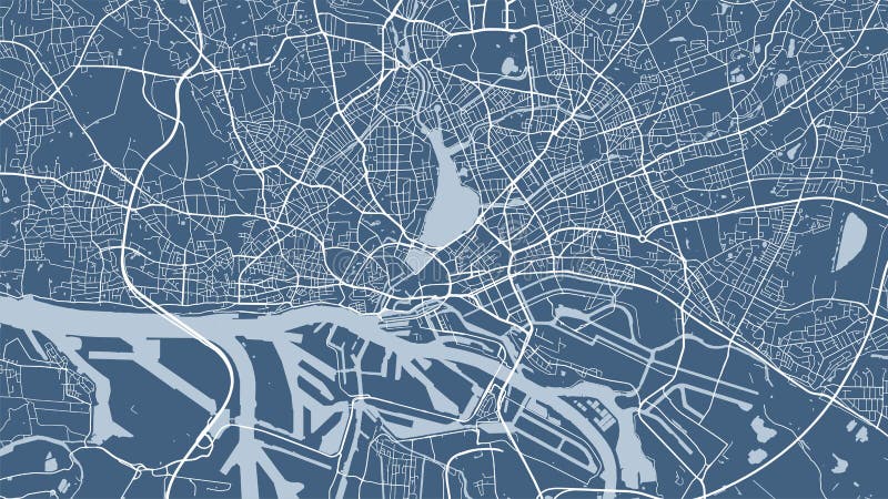
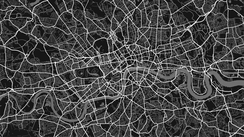
View from above the map. Navigate mapping technology for distance data, path turns. Background map, streets. City top view. View from above the map. Skyline urban panorama. Cartography illustration. Widescreen proportion, digital flat design street map. Vector
圖片編號:
291874912
拍攝者:
Jobvadym
點數下載
| 授權類型 | 尺寸 | 像素 | 格式 | 點數 | |
|---|---|---|---|---|---|
| 標準授權 | XS | 480 x 272 | JPG | 13 | |
| 標準授權 | S | 800 x 453 | JPG | 15 | |
| 標準授權 | M | 2300 x 1303 | JPG | 18 | |
| 標準授權 | L | 2970 x 1683 | JPG | 20 | |
| 標準授權 | XL | 3757 x 2129 | JPG | 22 | |
| 標準授權 | MAX | 6250 x 3542 | JPG | 23 | |
| 標準授權 | ADD | Vector | AI | 38 | |
| 標準授權 | TIFF | 8839 x 5009 | TIF | 39 | |
| 進階授權 | WEL | 6250 x 3542 | JPG | 88 | |
| 進階授權 | PEL | 6250 x 3542 | JPG | 88 | |
| 進階授權 | UEL | 6250 x 3542 | JPG | 88 |
XS
S
M
L
XL
MAX
ADD
TIFF
WEL
PEL
UEL
| 標準授權 | 480 x 272 px | JPG | 13 點 |
| 標準授權 | 800 x 453 px | JPG | 15 點 |
| 標準授權 | 2300 x 1303 px | JPG | 18 點 |
| 標準授權 | 2970 x 1683 px | JPG | 20 點 |
| 標準授權 | 3757 x 2129 px | JPG | 22 點 |
| 標準授權 | 6250 x 3542 px | JPG | 23 點 |
| 標準授權 | Vector px | AI | 38 點 |
| 標準授權 | 8839 x 5009 px | TIF | 39 點 |
| 進階授權 | 6250 x 3542 px | JPG | 88 點 |
| 進階授權 | 6250 x 3542 px | JPG | 88 點 |
| 進階授權 | 6250 x 3542 px | JPG | 88 點 |


 +886-2-8978-1616
 +886-2-2078-5115


