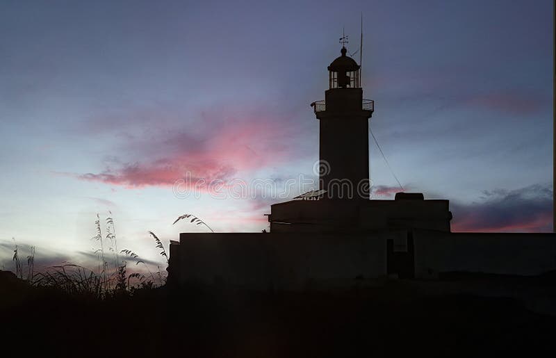
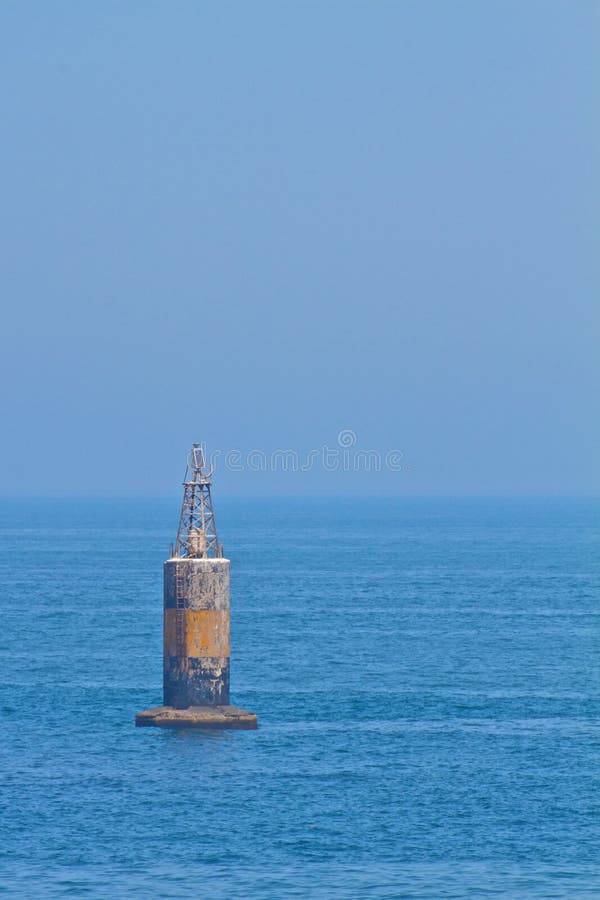
It forms the western end of a peninsula with rugged relief located between Chetaïbi and El Marsa. In the immediate vicinity of the cape, towards the north, is the Cap de Fer lighthouse.3.8 kilometers east of the cape and north of Jebel El Hassane, there is a rocky promontory which is the northernmost point (37° 05? 23? N, 7° 12? 45? E) of mainland Algeria.On the road to El Marsa, a fort was built by French settlers around 1870. This fort is classified as a universal monument and in 2014 houses the services of the Algerian naval forces.
圖片編號:
301845620
拍攝者:
Mja19711973199
點數下載
| 授權類型 | 尺寸 | 像素 | 格式 | 點數 | |
|---|---|---|---|---|---|
| 標準授權 | XS | 480 x 309 | JPG | 13 | |
| 標準授權 | S | 800 x 515 | JPG | 15 | |
| 標準授權 | M | 2159 x 1389 | JPG | 18 | |
| 標準授權 | L | 3402 x 2189 | JPG | 20 | |
| 標準授權 | XL | 3526 x 2268 | JPG | 22 | |
| 標準授權 | MAX | 4318 x 2778 | JPG | 23 | |
| 標準授權 | TIFF | 4811 x 3096 | TIF | 39 | |
| 進階授權 | WEL | 4318 x 2778 | JPG | 88 | |
| 進階授權 | PEL | 4318 x 2778 | JPG | 88 | |
| 進階授權 | UEL | 4318 x 2778 | JPG | 88 |
XS
S
M
L
XL
MAX
TIFF
WEL
PEL
UEL
| 標準授權 | 480 x 309 px | JPG | 13 點 |
| 標準授權 | 800 x 515 px | JPG | 15 點 |
| 標準授權 | 2159 x 1389 px | JPG | 18 點 |
| 標準授權 | 3402 x 2189 px | JPG | 20 點 |
| 標準授權 | 3526 x 2268 px | JPG | 22 點 |
| 標準授權 | 4318 x 2778 px | JPG | 23 點 |
| 標準授權 | 4811 x 3096 px | TIF | 39 點 |
| 進階授權 | 4318 x 2778 px | JPG | 88 點 |
| 進階授權 | 4318 x 2778 px | JPG | 88 點 |
| 進階授權 | 4318 x 2778 px | JPG | 88 點 |


 +886-2-8978-1616
 +886-2-2078-5115


