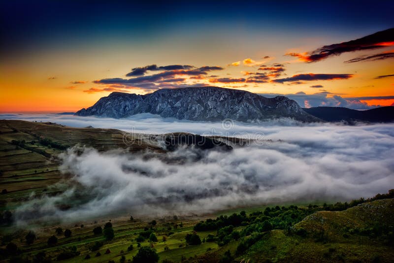
The Dry Mountains initially form several other distinct ridges north of the second border ridge. They are up to several kilometers long and converge not on a keystone peak, but rather on a mountain pass - the Three Valleys Pass (799 m above sea level) - an important junction of trails, and in winter a center for downhill and cross-country skiing. There is a famous PTTK Andrzejówka shelter here. The highest peaks in this region are: Waligóra (936 m above sea level, Suchawa (928 m above sea level), W?ostowa (903 m above sea level) and Jeleniec (902 m above sea level). These four exceed 900 m above sea level, but there are also a dozen or so peaks higher than 840 m above sea level. All of them have very steep slopes, and the differences in height sometimes reach up to 300 m. On the Polish side, Sto?ek Wielki, viewed from Unis?aw ?l?ski, is particularly impressive, and in the Czech part, Ruprechticky Špi?ak (881 m above sea level) viewed from the south. western side. However, these and other peaks are generally gentle on the other side. They are forested, but the forest on many peaks is very sparse and as a result we have a lot of good viewpoints here.
圖片編號:
304765410
拍攝者:
Mja19711973199
點數下載
| 授權類型 | 尺寸 | 像素 | 格式 | 點數 | |
|---|---|---|---|---|---|
| 標準授權 | XS | 480 x 315 | JPG | 13 | |
| 標準授權 | S | 800 x 525 | JPG | 15 | |
| 標準授權 | M | 2137 x 1403 | JPG | 18 | |
| 標準授權 | L | 2759 x 1811 | JPG | 20 | |
| 標準授權 | XL | 3491 x 2291 | JPG | 22 | |
| 標準授權 | MAX | 5361 x 3519 | JPG | 23 | |
| 標準授權 | TIFF | 7582 x 4977 | TIF | 39 | |
| 進階授權 | WEL | 5361 x 3519 | JPG | 88 | |
| 進階授權 | PEL | 5361 x 3519 | JPG | 88 | |
| 進階授權 | UEL | 5361 x 3519 | JPG | 88 |
XS
S
M
L
XL
MAX
TIFF
WEL
PEL
UEL
| 標準授權 | 480 x 315 px | JPG | 13 點 |
| 標準授權 | 800 x 525 px | JPG | 15 點 |
| 標準授權 | 2137 x 1403 px | JPG | 18 點 |
| 標準授權 | 2759 x 1811 px | JPG | 20 點 |
| 標準授權 | 3491 x 2291 px | JPG | 22 點 |
| 標準授權 | 5361 x 3519 px | JPG | 23 點 |
| 標準授權 | 7582 x 4977 px | TIF | 39 點 |
| 進階授權 | 5361 x 3519 px | JPG | 88 點 |
| 進階授權 | 5361 x 3519 px | JPG | 88 點 |
| 進階授權 | 5361 x 3519 px | JPG | 88 點 |






 +886-2-8978-1616
 +886-2-2078-5115


