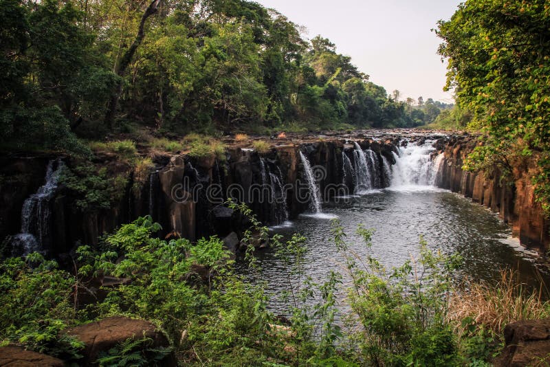
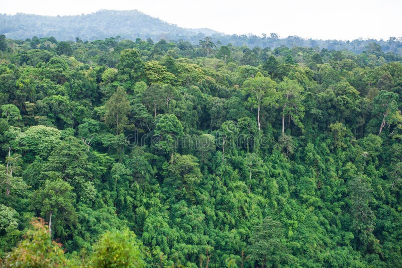
The Bolaven Plateau is an elevated region in southern Laos. Most of the plateau is located within Champasak Province of Laos, though the edges of the plateau are also located in Salavan, Sekong and Attapeu Provinces. It is located between the Annamite Range, along which runs Laos' eastern border with Vietnam, and the Mekong River to the west, at about 15°N 106°E. The plateau's elevation ranges approximately from 1,000 to 1,350 metres (3,280 to 4,430 ft) above sea level. The plateau is crossed by several rivers and has many scenic waterfalls. The name Bolaven makes reference to the Laven ethnic group which has historically dominated the region. However, domestic migrations by the Lao ethnic group (which comprises approximately 50 to 60 percent of the population of Laos) has resulted in widespread interethnic marriage, thus modifying the ethnic composition of the region.
圖片編號:
306570155
拍攝者:
Sandraipswich
點數下載
| 授權類型 | 尺寸 | 像素 | 格式 | 點數 | |
|---|---|---|---|---|---|
| 標準授權 | XS | 480 x 320 | JPG | 13 | |
| 標準授權 | S | 800 x 533 | JPG | 15 | |
| 標準授權 | M | 2121 x 1414 | JPG | 18 | |
| 標準授權 | L | 2738 x 1825 | JPG | 20 | |
| 標準授權 | XL | 3464 x 2309 | JPG | 22 | |
| 標準授權 | MAX | 6240 x 4160 | JPG | 23 | |
| 標準授權 | TIFF | 8825 x 5883 | TIF | 39 | |
| 進階授權 | WEL | 6240 x 4160 | JPG | 88 | |
| 進階授權 | PEL | 6240 x 4160 | JPG | 88 | |
| 進階授權 | UEL | 6240 x 4160 | JPG | 88 |
XS
S
M
L
XL
MAX
TIFF
WEL
PEL
UEL
| 標準授權 | 480 x 320 px | JPG | 13 點 |
| 標準授權 | 800 x 533 px | JPG | 15 點 |
| 標準授權 | 2121 x 1414 px | JPG | 18 點 |
| 標準授權 | 2738 x 1825 px | JPG | 20 點 |
| 標準授權 | 3464 x 2309 px | JPG | 22 點 |
| 標準授權 | 6240 x 4160 px | JPG | 23 點 |
| 標準授權 | 8825 x 5883 px | TIF | 39 點 |
| 進階授權 | 6240 x 4160 px | JPG | 88 點 |
| 進階授權 | 6240 x 4160 px | JPG | 88 點 |
| 進階授權 | 6240 x 4160 px | JPG | 88 點 |


 +886-2-8978-1616
 +886-2-2078-5115


