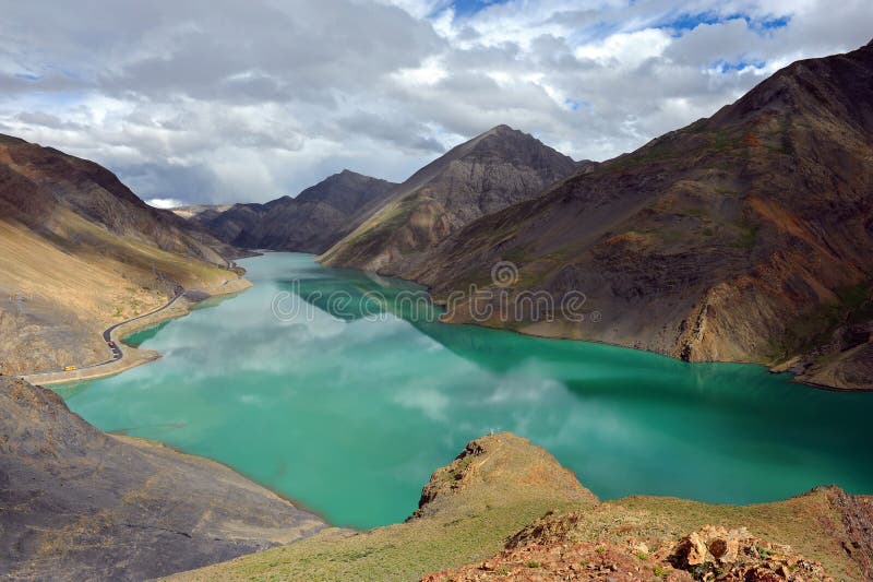
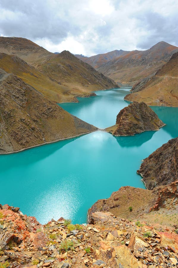
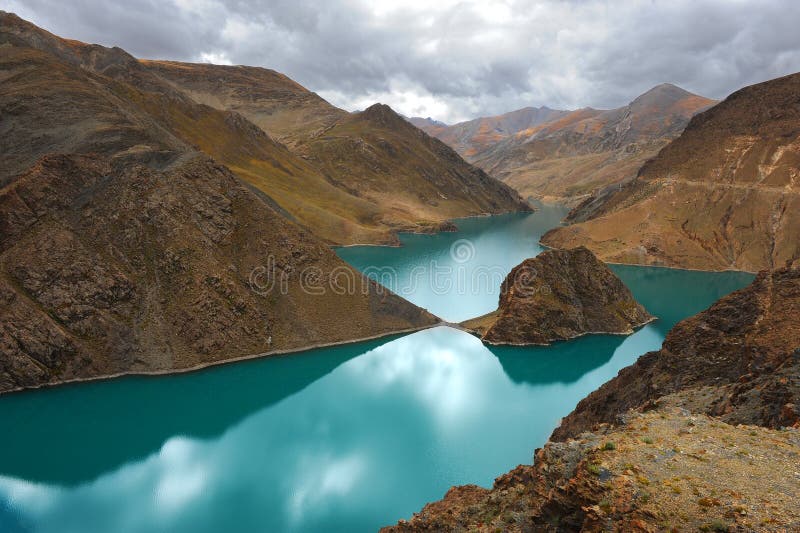
Buddha palm dune is located on the north bank of the the Yarlung Zangbo River, near the Yarlung ZanThe the Yarlung Zangbo River is the longest plateau river in China, located in the Xizang Autonomous Region, and one of the highest rivers in the world. Originating from the northern foot of the Himalayas in the southwest of Xizang, the Jymayangzong Glacier, called the Maquan River in its upstream, crosses the south of Xizang from west to east, bypasses the Nanjabawa Peak at the easternmost end of the the Himalayas, turns to the south, and flows out of China through Bashika. The hydropower reserves are abundant, second only to the Yangtze River in China. The the Yarlung Zangbo River Grand Canyon at the bend of the the Yarlung Zangbo River is the world's largest canyon and has been certified by the China World Records Association as the world's deepest canyon and the world's longest canyon.gbo Grand Canyon. It is named for its shape like a Buddha palm with hands folded.
圖片編號:
308170088
拍攝者:
Oceanlau
點數下載
| 授權類型 | 尺寸 | 像素 | 格式 | 點數 | |
|---|---|---|---|---|---|
| 標準授權 | XS | 480 x 320 | JPG | 13 | |
| 標準授權 | S | 800 x 533 | JPG | 15 | |
| 標準授權 | M | 2121 x 1414 | JPG | 18 | |
| 標準授權 | L | 2738 x 1825 | JPG | 20 | |
| 標準授權 | XL | 3464 x 2309 | JPG | 22 | |
| 標準授權 | MAX | 5616 x 3744 | JPG | 23 | |
| 標準授權 | TIFF | 7942 x 5295 | TIF | 39 | |
| 進階授權 | WEL | 5616 x 3744 | JPG | 88 | |
| 進階授權 | PEL | 5616 x 3744 | JPG | 88 | |
| 進階授權 | UEL | 5616 x 3744 | JPG | 88 |
XS
S
M
L
XL
MAX
TIFF
WEL
PEL
UEL
| 標準授權 | 480 x 320 px | JPG | 13 點 |
| 標準授權 | 800 x 533 px | JPG | 15 點 |
| 標準授權 | 2121 x 1414 px | JPG | 18 點 |
| 標準授權 | 2738 x 1825 px | JPG | 20 點 |
| 標準授權 | 3464 x 2309 px | JPG | 22 點 |
| 標準授權 | 5616 x 3744 px | JPG | 23 點 |
| 標準授權 | 7942 x 5295 px | TIF | 39 點 |
| 進階授權 | 5616 x 3744 px | JPG | 88 點 |
| 進階授權 | 5616 x 3744 px | JPG | 88 點 |
| 進階授權 | 5616 x 3744 px | JPG | 88 點 |






 +886-2-8978-1616
 +886-2-2078-5115


