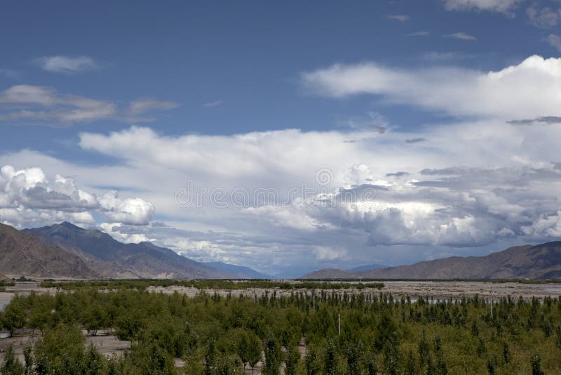
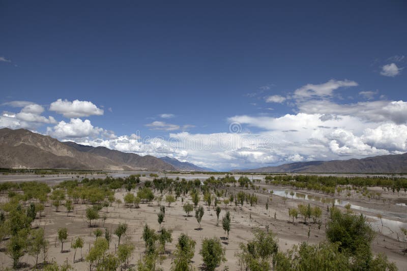
Nanjabawa Peak, located at the intersection of the the Himalayas, Nyainqentanglha and Hengduan Mountains, is the highest mountain in Nyingchi, Xizang Autonomous Region, China. With an altitude of 7782 meters, it belongs to the the Himalayas and is located at the easternmost end of the the Himalayas.It is the holy land of Xizang's oldest Buddhist Yongzhong Benjiao, and is known as the father of Xizang's mountains. Meanwhile, the adjacent Yarlung Zangbo Grand Canyon took a horseshoe shaped turn around him and then extended towards the direction of the Indian Ocean. Mount Nanjiabawa, also known as Muzhuobar Mountain, has a huge triangular peak covered in snow all year round, shrouded in clouds and mist, and never easily reveals its true face. Therefore, it is also known as Shy Woman Peak. There are multiple interpretations in Tibetan for Nanjiabawa, including lightning burning like fire, spear piercing into the sky, and stone falling from the Tianshan Mountains. The latter name comes from the Battle of Menling in King Gesar's Biography, in which Mount Nanjiabawa is depicted as like a spear, piercing straight into the sky.
圖片編號:
308170459
拍攝者:
Oceanlau
點數下載
| 授權類型 | 尺寸 | 像素 | 格式 | 點數 | |
|---|---|---|---|---|---|
| 標準授權 | XS | 480 x 320 | JPG | 13 | |
| 標準授權 | S | 800 x 533 | JPG | 15 | |
| 標準授權 | M | 2121 x 1414 | JPG | 18 | |
| 標準授權 | L | 2738 x 1825 | JPG | 20 | |
| 標準授權 | XL | 3464 x 2309 | JPG | 22 | |
| 標準授權 | MAX | 5507 x 3671 | JPG | 23 | |
| 標準授權 | TIFF | 7788 x 5192 | TIF | 39 | |
| 進階授權 | WEL | 5507 x 3671 | JPG | 88 | |
| 進階授權 | PEL | 5507 x 3671 | JPG | 88 | |
| 進階授權 | UEL | 5507 x 3671 | JPG | 88 |
XS
S
M
L
XL
MAX
TIFF
WEL
PEL
UEL
| 標準授權 | 480 x 320 px | JPG | 13 點 |
| 標準授權 | 800 x 533 px | JPG | 15 點 |
| 標準授權 | 2121 x 1414 px | JPG | 18 點 |
| 標準授權 | 2738 x 1825 px | JPG | 20 點 |
| 標準授權 | 3464 x 2309 px | JPG | 22 點 |
| 標準授權 | 5507 x 3671 px | JPG | 23 點 |
| 標準授權 | 7788 x 5192 px | TIF | 39 點 |
| 進階授權 | 5507 x 3671 px | JPG | 88 點 |
| 進階授權 | 5507 x 3671 px | JPG | 88 點 |
| 進階授權 | 5507 x 3671 px | JPG | 88 點 |


 +886-2-8978-1616
 +886-2-2078-5115


