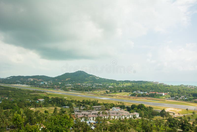
Phu Hin Rong Kla National Park is a national park located in the Loei, Phitsanulok and Phetchabun Provinces of Thailand. The protected area is located in the forested mountains of the Luang Prabang Range close to the border with Laos and is part of the Luang Prabang montane rain forests ecoregion. The park landscape is generally dominated by mountainous terrain. Phu Thap Buek, also known as Phu Man Khao, the highest mountain of the Phetchabun Range, is located within the park area.[2] The northern part of the park stretches to the border with Laos. The Southern part of the park extends into the Phetchabun Province. Mountain peaks include Phu Phang Ma, Phu Lom Lo and Phu Hin Rong Kla. The second tallest is Phu Lomlo at an elevation of 1,664 meters. Within the park are the sources of the Mueat Don and Luang Yai Rivers.
圖片編號:
31180585
拍攝者:
Tuayai
點數下載
| 授權類型 | 尺寸 | 像素 | 格式 | 點數 | |
|---|---|---|---|---|---|
| 標準授權 | XS | 480 x 233 | JPG | 13 | |
| 標準授權 | S | 800 x 388 | JPG | 15 | |
| 標準授權 | M | 2487 x 1206 | JPG | 18 | |
| 標準授權 | L | 3211 x 1556 | JPG | 20 | |
| 標準授權 | XL | 4062 x 1969 | JPG | 22 | |
| 標準授權 | MAX | 6565 x 3183 | JPG | 23 | |
| 標準授權 | TIFF | 9284 x 4501 | TIF | 39 | |
| 進階授權 | WEL | 6565 x 3183 | JPG | 88 | |
| 進階授權 | PEL | 6565 x 3183 | JPG | 88 | |
| 進階授權 | UEL | 6565 x 3183 | JPG | 88 |
XS
S
M
L
XL
MAX
TIFF
WEL
PEL
UEL
| 標準授權 | 480 x 233 px | JPG | 13 點 |
| 標準授權 | 800 x 388 px | JPG | 15 點 |
| 標準授權 | 2487 x 1206 px | JPG | 18 點 |
| 標準授權 | 3211 x 1556 px | JPG | 20 點 |
| 標準授權 | 4062 x 1969 px | JPG | 22 點 |
| 標準授權 | 6565 x 3183 px | JPG | 23 點 |
| 標準授權 | 9284 x 4501 px | TIF | 39 點 |
| 進階授權 | 6565 x 3183 px | JPG | 88 點 |
| 進階授權 | 6565 x 3183 px | JPG | 88 點 |
| 進階授權 | 6565 x 3183 px | JPG | 88 點 |


 +886-2-8978-1616
 +886-2-2078-5115


