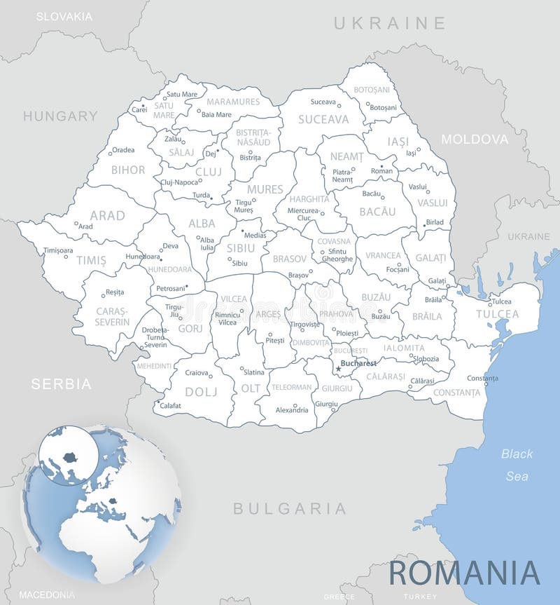
This comprehensive map of Arad County in Romania shows clearly and concisely the administrative divisions, including communes, towns, municipalities and county seats. With accurate and easy-to-understand details, it is a valuable tool for education, commercial presentations and editorial materials. Discover the geography and territorial organisation of this fascinating region with this detailed map.
圖片編號:
314506486
拍攝者:
Marianrocky
點數下載
| 授權類型 | 尺寸 | 像素 | 格式 | 點數 | |
|---|---|---|---|---|---|
| 標準授權 | XS | 480 x 339 | JPG | 13 | |
| 標準授權 | S | 800 x 566 | JPG | 15 | |
| 標準授權 | M | 2059 x 1456 | JPG | 18 | |
| 標準授權 | L | 2659 x 1880 | JPG | 20 | |
| 標準授權 | XL | 3507 x 2480 | JPG | 22 | |
| 標準授權 | MAX | 4119 x 2913 | JPG | 23 | |
| 標準授權 | TIFF | 4960 x 3507 | TIF | 39 | |
| 進階授權 | WEL | 4119 x 2913 | JPG | 88 | |
| 進階授權 | PEL | 4119 x 2913 | JPG | 88 | |
| 進階授權 | UEL | 4119 x 2913 | JPG | 88 |
XS
S
M
L
XL
MAX
TIFF
WEL
PEL
UEL
| 標準授權 | 480 x 339 px | JPG | 13 點 |
| 標準授權 | 800 x 566 px | JPG | 15 點 |
| 標準授權 | 2059 x 1456 px | JPG | 18 點 |
| 標準授權 | 2659 x 1880 px | JPG | 20 點 |
| 標準授權 | 3507 x 2480 px | JPG | 22 點 |
| 標準授權 | 4119 x 2913 px | JPG | 23 點 |
| 標準授權 | 4960 x 3507 px | TIF | 39 點 |
| 進階授權 | 4119 x 2913 px | JPG | 88 點 |
| 進階授權 | 4119 x 2913 px | JPG | 88 點 |
| 進階授權 | 4119 x 2913 px | JPG | 88 點 |


 +886-2-8978-1616
 +886-2-2078-5115


