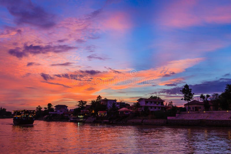
The Chao Phraya begins at the confluence of the Ping and Nan rivers at Nakhon Sawan (also called Pak Nam Pho) in Nakhon Sawan province. It then flows south for 372 kilometres (231 mi) from the central plains to Bangkok and the Gulf of Thailand. In Chainat, the river splits into the main course and the Tha Chin river, which then flows parallel to the main river and exits in the Gulf of Thailand about 35 kilometres (22 mi) west of Bangkok in Samut Sakhon. In the low alluvial plain which begins below the Chainat Dam, many small canals (khlong) split off from the main river. The khlong are used for the irrigation of the region's rice paddies. The rough co-ordinates of the river are 13 N, 100 E. This area has a wet monsoon climate, with over 1,400 mm of rainfall per year, and temperatures range from 24 ðC to 33 ðC in Bangkok.
圖片編號:
31765989
拍攝者:
Tuayai
點數下載
| 授權類型 | 尺寸 | 像素 | 格式 | 點數 | |
|---|---|---|---|---|---|
| 標準授權 | XS | 480 x 318 | JPG | 13 | |
| 標準授權 | S | 800 x 530 | JPG | 15 | |
| 標準授權 | M | 2128 x 1409 | JPG | 18 | |
| 標準授權 | L | 2747 x 1819 | JPG | 20 | |
| 標準授權 | XL | 3475 x 2301 | JPG | 22 | |
| 標準授權 | MAX | 4928 x 3264 | JPG | 23 | |
| 標準授權 | TIFF | 6969 x 4616 | TIF | 39 | |
| 進階授權 | WEL | 4928 x 3264 | JPG | 88 | |
| 進階授權 | PEL | 4928 x 3264 | JPG | 88 | |
| 進階授權 | UEL | 4928 x 3264 | JPG | 88 |
XS
S
M
L
XL
MAX
TIFF
WEL
PEL
UEL
| 標準授權 | 480 x 318 px | JPG | 13 點 |
| 標準授權 | 800 x 530 px | JPG | 15 點 |
| 標準授權 | 2128 x 1409 px | JPG | 18 點 |
| 標準授權 | 2747 x 1819 px | JPG | 20 點 |
| 標準授權 | 3475 x 2301 px | JPG | 22 點 |
| 標準授權 | 4928 x 3264 px | JPG | 23 點 |
| 標準授權 | 6969 x 4616 px | TIF | 39 點 |
| 進階授權 | 4928 x 3264 px | JPG | 88 點 |
| 進階授權 | 4928 x 3264 px | JPG | 88 點 |
| 進階授權 | 4928 x 3264 px | JPG | 88 點 |


 +886-2-8978-1616
 +886-2-2078-5115


