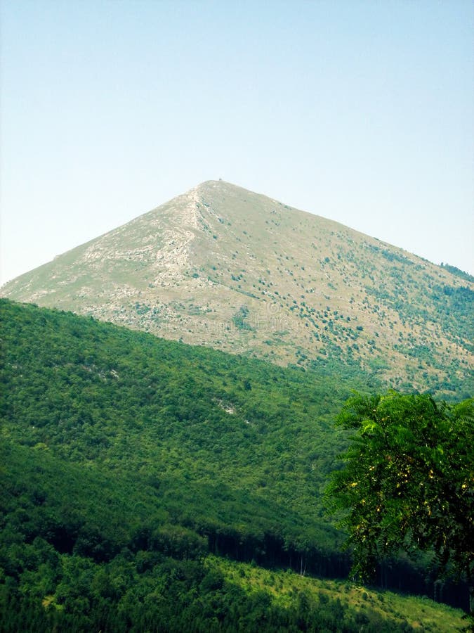
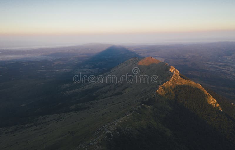
Rtanj is a mountain located in eastern Serbia, about 200 km southeast of Belgrade, near Boljevac. It belongs to the Carpathian Mountains, and the highest peak Å iljak (1565 m) is a natural phenomenon of karst relief. The specific arrangement of the rocks of the karst relief affected not only the plant cover, the waters and springs of Rtnja, but also its shape. So if we look at Rtanj from the north or south, it appears to us as a long ridge in the shape of a trapezoid, while below it is wide and massive, above it narrows into a narrow edge wall.
圖片編號:
320832237
拍攝者:
Spektar030bor1908
點數下載
| 授權類型 | 尺寸 | 像素 | 格式 | 點數 | |
|---|---|---|---|---|---|
| 標準授權 | XS | 480 x 321 | JPG | 13 | |
| 標準授權 | S | 800 x 535 | JPG | 15 | |
| 標準授權 | M | 2118 x 1416 | JPG | 18 | |
| 標準授權 | L | 2992 x 2000 | JPG | 20 | |
| 標準授權 | XL | 3459 x 2312 | JPG | 22 | |
| 標準授權 | MAX | 4236 x 2832 | JPG | 23 | |
| 標準授權 | TIFF | 4231 x 2828 | TIF | 39 | |
| 進階授權 | WEL | 4236 x 2832 | JPG | 88 | |
| 進階授權 | PEL | 4236 x 2832 | JPG | 88 | |
| 進階授權 | UEL | 4236 x 2832 | JPG | 88 |
XS
S
M
L
XL
MAX
TIFF
WEL
PEL
UEL
| 標準授權 | 480 x 321 px | JPG | 13 點 |
| 標準授權 | 800 x 535 px | JPG | 15 點 |
| 標準授權 | 2118 x 1416 px | JPG | 18 點 |
| 標準授權 | 2992 x 2000 px | JPG | 20 點 |
| 標準授權 | 3459 x 2312 px | JPG | 22 點 |
| 標準授權 | 4236 x 2832 px | JPG | 23 點 |
| 標準授權 | 4231 x 2828 px | TIF | 39 點 |
| 進階授權 | 4236 x 2832 px | JPG | 88 點 |
| 進階授權 | 4236 x 2832 px | JPG | 88 點 |
| 進階授權 | 4236 x 2832 px | JPG | 88 點 |


 +886-2-8978-1616
 +886-2-2078-5115


