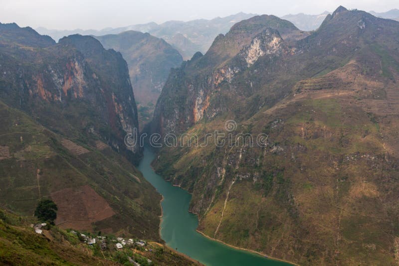
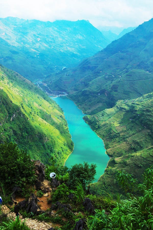
Ma Pi Leng Pass - Ha Giang, VietnamMa Pi Leng, a rugged mountain pass spanning approximately 20 kilometers, is a prominent feature of Ha Giang. Connecting Ha Giang City, Dong Van District, and Meo Vac District, Ma Pi Leng derives its name from Mandarin, translating to âhorseâs noseâ. The pass traverses perilous cliffs, reaching a height of 2,000 meters at the peak, while at the base lies the deep valley of Nho Que River.Nho Que RiverNho Que River, situated at the base of Ma Pi Leng Pass, is among renowned Ha Giang attractions and the most captivating rivers in Vietnam. When observed from above, it resembles a glistening green thread nestled amidst the mountains.Embarking on a boat tour along the river offers visitors an opportunity to appreciate its enchanting beauty and indulge in special photo stops as they navigate Tu San Alley, acknowledged as one of the deepest canyons in Southeast Asia.
圖片編號:
322762283
拍攝者:
Hongduc
點數下載
| 授權類型 | 尺寸 | 像素 | 格式 | 點數 | |
|---|---|---|---|---|---|
| 標準授權 | XS | 480 x 320 | JPG | 13 | |
| 標準授權 | S | 800 x 533 | JPG | 15 | |
| 標準授權 | M | 2121 x 1414 | JPG | 18 | |
| 標準授權 | L | 2738 x 1825 | JPG | 20 | |
| 標準授權 | XL | 3464 x 2309 | JPG | 22 | |
| 標準授權 | MAX | 5568 x 3712 | JPG | 23 | |
| 標準授權 | TIFF | 7874 x 5250 | TIF | 39 | |
| 進階授權 | WEL | 5568 x 3712 | JPG | 88 | |
| 進階授權 | PEL | 5568 x 3712 | JPG | 88 | |
| 進階授權 | UEL | 5568 x 3712 | JPG | 88 |
XS
S
M
L
XL
MAX
TIFF
WEL
PEL
UEL
| 標準授權 | 480 x 320 px | JPG | 13 點 |
| 標準授權 | 800 x 533 px | JPG | 15 點 |
| 標準授權 | 2121 x 1414 px | JPG | 18 點 |
| 標準授權 | 2738 x 1825 px | JPG | 20 點 |
| 標準授權 | 3464 x 2309 px | JPG | 22 點 |
| 標準授權 | 5568 x 3712 px | JPG | 23 點 |
| 標準授權 | 7874 x 5250 px | TIF | 39 點 |
| 進階授權 | 5568 x 3712 px | JPG | 88 點 |
| 進階授權 | 5568 x 3712 px | JPG | 88 點 |
| 進階授權 | 5568 x 3712 px | JPG | 88 點 |


 +886-2-8978-1616
 +886-2-2078-5115


