


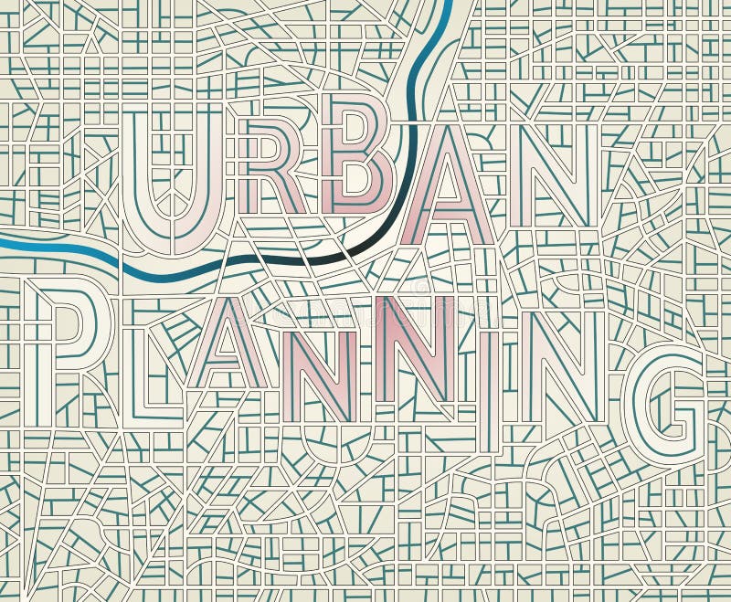
This photo depicts a detailed urban planning blueprint that showcases the city zoning and transportation routes along with green spaces. The blueprint highlights the importance of sustainable urban planning and the need to incorporate green spaces in densely populated areas. The intricate details of the blueprint suggest a well thought out and organized approach to urban development. This image conveys the concept of efficient and sustainable urban planning that ensures a balance between development and conservation. The blueprint serves as a guide for city planners, architects, and developers to create livable cities that prioritize the wellbeing of its residents and the environment.
圖片編號:
327638043
拍攝者:
Ftftnote213
點數下載
| 授權類型 | 尺寸 | 像素 | 格式 | 點數 | |
|---|---|---|---|---|---|
| 標準授權 | XS | 480 x 269 | JPG | 13 | |
| 標準授權 | S | 800 x 448 | JPG | 15 | |
| 標準授權 | M | 2313 x 1296 | JPG | 18 | |
| 標準授權 | L | 2986 x 1673 | JPG | 20 | |
| 標準授權 | XL | 3778 x 2117 | JPG | 22 | |
| 標準授權 | MAX | 6720 x 3766 | JPG | 23 | |
| 標準授權 | TIFF | 9504 x 5326 | TIF | 39 | |
| 進階授權 | WEL | 6720 x 3766 | JPG | 88 | |
| 進階授權 | PEL | 6720 x 3766 | JPG | 88 | |
| 進階授權 | UEL | 6720 x 3766 | JPG | 88 |
XS
S
M
L
XL
MAX
TIFF
WEL
PEL
UEL
| 標準授權 | 480 x 269 px | JPG | 13 點 |
| 標準授權 | 800 x 448 px | JPG | 15 點 |
| 標準授權 | 2313 x 1296 px | JPG | 18 點 |
| 標準授權 | 2986 x 1673 px | JPG | 20 點 |
| 標準授權 | 3778 x 2117 px | JPG | 22 點 |
| 標準授權 | 6720 x 3766 px | JPG | 23 點 |
| 標準授權 | 9504 x 5326 px | TIF | 39 點 |
| 進階授權 | 6720 x 3766 px | JPG | 88 點 |
| 進階授權 | 6720 x 3766 px | JPG | 88 點 |
| 進階授權 | 6720 x 3766 px | JPG | 88 點 |


 +886-2-8978-1616
 +886-2-2078-5115


