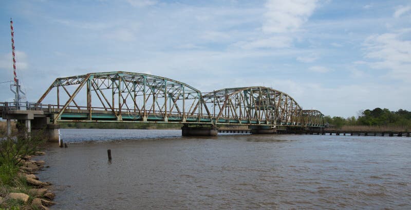
The the Pearl River is a composite water system formed by the convergence of the Xijiang River, the Beijiang River, the Dongjiang River and the the Pearl River Delta. It generally takes the upper source of the Xijiang River as its source, originates from the Maxong Mountain of the Wumeng Mountain system in the the Yunnan-Guizhou Plateau, flows through six provinces (regions) of Yunnan, Guizhou, Guangxi, Guangdong, Hunan, Jiangxi and the northern part of Vietnam, forming the characteristics of numerous tributaries and diverse waterways, and flows into a network of river areas in the downstream delta, passing through Humen, Jiaomen, Hongqimen (Li), Hengmen, Modaomen, Jitimen, Hutiaomen, Hutiaomen and Yaya distributed in six cities and counties in Guangdong Province. It flows into the South China Sea.
圖片編號:
332979864
拍攝者:
Liumangtiger
點數下載
| 授權類型 | 尺寸 | 像素 | 格式 | 點數 | |
|---|---|---|---|---|---|
| 標準授權 | XS | 480 x 240 | JPG | 13 | |
| 標準授權 | S | 800 x 400 | JPG | 15 | |
| 標準授權 | M | 2449 x 1224 | JPG | 18 | |
| 標準授權 | L | 3162 x 1581 | JPG | 20 | |
| 標準授權 | XL | 4000 x 2000 | JPG | 22 | |
| 標準授權 | MAX | 9260 x 4630 | JPG | 23 | |
| 標準授權 | TIFF | 13096 x 6548 | TIF | 39 | |
| 進階授權 | WEL | 9260 x 4630 | JPG | 88 | |
| 進階授權 | PEL | 9260 x 4630 | JPG | 88 | |
| 進階授權 | UEL | 9260 x 4630 | JPG | 88 |
XS
S
M
L
XL
MAX
TIFF
WEL
PEL
UEL
| 標準授權 | 480 x 240 px | JPG | 13 點 |
| 標準授權 | 800 x 400 px | JPG | 15 點 |
| 標準授權 | 2449 x 1224 px | JPG | 18 點 |
| 標準授權 | 3162 x 1581 px | JPG | 20 點 |
| 標準授權 | 4000 x 2000 px | JPG | 22 點 |
| 標準授權 | 9260 x 4630 px | JPG | 23 點 |
| 標準授權 | 13096 x 6548 px | TIF | 39 點 |
| 進階授權 | 9260 x 4630 px | JPG | 88 點 |
| 進階授權 | 9260 x 4630 px | JPG | 88 點 |
| 進階授權 | 9260 x 4630 px | JPG | 88 點 |


 +886-2-8978-1616
 +886-2-2078-5115


