


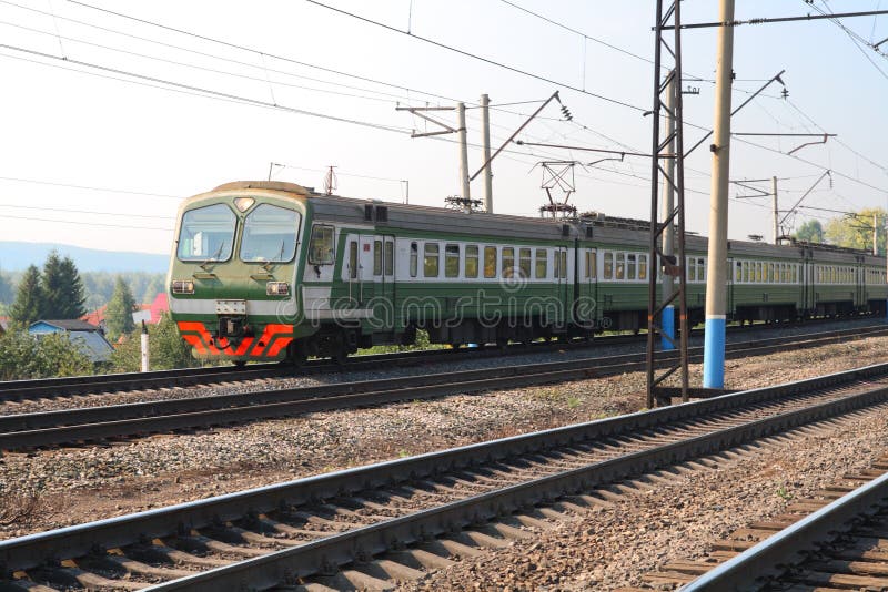
Rail transport was introduced to Bangkok in 1893, with the opening of the private Paknam Railway linking Bangkok to Samut Prakan. The national railway network was subsequently developed and first opened in 1896, linking Bangkok to Nakhon Ratchasima and then expanding to reach Chiang Mai, Nong Khai, Ubon Ratchathani and Su-ngai Kolok. Electric trams served the city from 1894 to 1968, but further intra-city rail transport remained undeveloped until the opening of the country's first rapid transit system, the BTS Skytrain, in 1999. The MRT subsequently opened in 2004, and the Airport Rail Link began operation in 2010. In the late 1800s and early 1900s, King Rama V eagerly built a tram network for Bangkok by employing foreign engineers and technicians, especially Danish engineers. In fact, Bangkok had electric trams before Copenhagen. However, due to a lack of interest and maintenance the tram network was completely scrapped in 1968. Bangkok is the location of Hua Lamphong Railway Station, the main terminus of the national rail network operated by the State Railway of Thailand (SRT). Trains travelling on the Northern Line to Chiang Mai, the Northeastern Line to Nong Khai and Ubon Ratchathani, and the Eastern Line to Aranyaprathet originate at the station, and so do some trains of the Southern Line, which terminates at Su-ngai Kolok and has a connection to Malaysia (the other Southern terminus is Thonburi). In addition to long-distance services, the SRT also operates a few daily commuter trains running from and to the outskirts of the city during the rush hour, but passenger numbers have remained low. Bangkok is currently served by three rapid transit systems: the BTS Skytrain, the underground MRT and the elevated Airport Rail Link. Although proposals for the development of rapid transit in Bangkok had been made since 1975,[1] leading to plans for the failed Lavalin Skytrain, it was only in 1999 that the BTS finally began operation. The BTS Skytrain The BTS consists of two lines, totalling 30.95 kilometres (19.23 mi): Sukhumvit Line running southwards from Mo Chit Station in Chatuchak District along Phahon Yothin Road and then eastwards along Sukhumvit Road to Bearing Station in Bang Na District, and Silom Line which runs eastwards from National Stadium Station in Pathum Wan District, then southwest along Ratchadamri, Si Lom, Narathiwat Ratchanakharin and Sathon Roads, crossing the Chao Phraya towards Wong Wian Yai Station in Khlong San. Both lines are elevated, and interchange at Siam Station in Pathum Wan. At its opening, the BTS had seventeen stations on the Sukhumvit Line and six on Silom. Two and five additional stations have since opened on each respective line, in 2009 and 2011. Construction is ongoing to extend the eastern end of the Sukhumvit Line to Samut Prakan, and the southern end of the Silom Line to Bang Wa Station in Phasi Charoen District.
圖片編號:
37492246
拍攝者:
Tuayai
點數下載
| 授權類型 | 尺寸 | 像素 | 格式 | 點數 | |
|---|---|---|---|---|---|
| 標準授權 | XS | 318 x 480 | JPG | 13 | |
| 標準授權 | S | 530 x 800 | JPG | 15 | |
| 標準授權 | M | 1409 x 2128 | JPG | 18 | |
| 標準授權 | L | 1819 x 2747 | JPG | 20 | |
| 標準授權 | XL | 2301 x 3475 | JPG | 22 | |
| 標準授權 | MAX | 3264 x 4928 | JPG | 23 | |
| 標準授權 | TIFF | 4616 x 6969 | TIF | 39 | |
| 進階授權 | WEL | 3264 x 4928 | JPG | 88 | |
| 進階授權 | PEL | 3264 x 4928 | JPG | 88 | |
| 進階授權 | UEL | 3264 x 4928 | JPG | 88 |
XS
S
M
L
XL
MAX
TIFF
WEL
PEL
UEL
| 標準授權 | 318 x 480 px | JPG | 13 點 |
| 標準授權 | 530 x 800 px | JPG | 15 點 |
| 標準授權 | 1409 x 2128 px | JPG | 18 點 |
| 標準授權 | 1819 x 2747 px | JPG | 20 點 |
| 標準授權 | 2301 x 3475 px | JPG | 22 點 |
| 標準授權 | 3264 x 4928 px | JPG | 23 點 |
| 標準授權 | 4616 x 6969 px | TIF | 39 點 |
| 進階授權 | 3264 x 4928 px | JPG | 88 點 |
| 進階授權 | 3264 x 4928 px | JPG | 88 點 |
| 進階授權 | 3264 x 4928 px | JPG | 88 點 |


 +886-2-8978-1616
 +886-2-2078-5115


