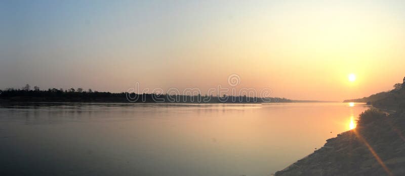
In English the river is called the Mekong River, derived from Mae Nam Khong, a term of both Thai and Lao origin. In the Lao-Thai toponymy, all great rivers are considered mother rivers signalled by the prefix mae, meaning mother, and nam for water. In the Mekong's case, Mae Nam Khong means Khong, The Mother of Water.[4] Khong is derived from the Sanskrit ganga, meaning the Ganges. Many Northern Thai and Laos locals refer to it as the River Khong. Such is the case with the Mae Nam Ping in Chiang Mai which is known as the Ping River. The Tonle Sap in Cambodia is a similar example ââ¬â where Tonle translates as Great lake or river, making the Tonle Sap River an unnecessary repetition of what is in fact the Sap River. The Mekong then meets the tripoint of China, Burma (Myanmar) and Laos. From there it flows southwest and forms the border of Burma and Laos for about 100 kilometres (62 mi) until it arrives at the tripoint of Burma, Laos, and Thailand. This is also the point of confluence between the Ruak River (which follows the Thai-Burma border) and the Mekong. The area of this tripoint is sometimes termed the Golden Triangle, although the term also refers to the much larger area of those three countries that is notorious as a drug producing region. From the Golden Triangle tripoint, the Mekong turns southeast to briefly form the border of Laos with Thailand. It then turns east into the interior of Laos, flowing first east and then south for some 400 kilometres (250 mi) before meeting the border with Thailand again. Once more, it defines the Laos-Thailand border for some 850 kilometres (530 mi) as it flows first east, passing in front of the capital of Laos, Vientiane, then turns south. A second time, the river leaves the border and flows east into Laos soon passing the city of Pakse. Thereafter, it turns and runs more or less directly south, crossing into Cambodia.
圖片編號:
38102605
拍攝者:
Tuayai
點數下載
| 授權類型 | 尺寸 | 像素 | 格式 | 點數 | |
|---|---|---|---|---|---|
| 標準授權 | XS | 480 x 209 | JPG | 13 | |
| 標準授權 | S | 800 x 349 | JPG | 15 | |
| 標準授權 | M | 2623 x 1143 | JPG | 18 | |
| 標準授權 | L | 3696 x 1611 | JPG | 20 | |
| 標準授權 | XL | 4284 x 1867 | JPG | 22 | |
| 標準授權 | MAX | 5246 x 2287 | JPG | 23 | |
| 標準授權 | TIFF | 5227 x 2278 | TIF | 39 | |
| 進階授權 | WEL | 5246 x 2287 | JPG | 88 | |
| 進階授權 | PEL | 5246 x 2287 | JPG | 88 | |
| 進階授權 | UEL | 5246 x 2287 | JPG | 88 |
XS
S
M
L
XL
MAX
TIFF
WEL
PEL
UEL
| 標準授權 | 480 x 209 px | JPG | 13 點 |
| 標準授權 | 800 x 349 px | JPG | 15 點 |
| 標準授權 | 2623 x 1143 px | JPG | 18 點 |
| 標準授權 | 3696 x 1611 px | JPG | 20 點 |
| 標準授權 | 4284 x 1867 px | JPG | 22 點 |
| 標準授權 | 5246 x 2287 px | JPG | 23 點 |
| 標準授權 | 5227 x 2278 px | TIF | 39 點 |
| 進階授權 | 5246 x 2287 px | JPG | 88 點 |
| 進階授權 | 5246 x 2287 px | JPG | 88 點 |
| 進階授權 | 5246 x 2287 px | JPG | 88 點 |


 +886-2-8978-1616
 +886-2-2078-5115


